Old Maps of Olga, Washington for Academic Research
Study the evolution of Olga with 11 high-resolution historic maps. Whether you're teaching, researching, or modeling changes in land use, these maps provide essential visual documentation of urban, environmental, and geographic change.
- Analyze long-term change: Track patterns in development, transportation, and natural features.
- Ideal for environmental or urban studies: Support academic projects with primary historical map data.
- Use in the classroom or lab: Educators and researchers rely on these maps to bring historical context to life.
These maps are a powerful tool for teaching, research, and visualizing how Olga has changed over the decades.
Olga, WA maps
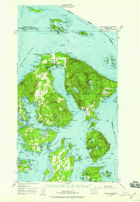
(11)- 1943 Map of Orcas Island
 1943 Orcas Island1943 Print · USGSThe San Juan Islands are captured in the early 1940s, showing a maritime landscape of ferry routes and isolated coastal hamlets. Genealogists and historians can trace local landmarks like Buckhorn Lodge, the Port Stanley Sch, and the CCC Camp in Moran State Park.2 unique versions available
 - 1957 Map of Orcas Island, 1959 Print
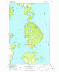
 1957 Orcas Island1959 Print · USGSThe San Juan Islands are shown here in the late fifties, a time when coastal settlements and island retreats defined the archipelago. Genealogists and historians can trace old community centers like Griswold, Doe Bay, and the early layout of Moran State Park.2 unique versions available
 - 1957 Map of Victoria, 1960 Print
 1957 Victoria1960 Print · USGSThe San Juan Islands and the North Cascades coastline are shown in detail during the late fifties, a period of significant military and industrial presence. Researchers can trace historic rail lines like the Great Northern or locate sites such as the Whidbey Island Naval Air Sta and Friday Harbor.4 unique versions available
 - 1973 Map of Blakely Island, 1977 Print
 1973 Blakely Island1977 Print · USGSThe central San Juan Islands come into focus in the early seventies, showing a maritime landscape of isolated settlements and protected wilderness. Local historians can trace the early footprints of Thatcher and Decatur, alongside landmarks like Blakely Peak and Spencer Spit State Park.3 unique versions available
 - 1975 Map of Bellingham, 1977 Print
 1975 Bellingham1977 Print · USGSNorthwest Washington in the mid-seventies is captured here, from the Canadian border at Blaine to the San Juan Islands. Researchers can trace tribal lands on the Lummi Indian Reservation, find rural settlements like Cokedale, or follow the Burlington Northern rail lines.
 - 1997 Map of Blakely Island, 2003 Print
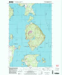 1997 Blakely Island2003 Print · USGSThe San Juan archipelago comes alive in the late nineties, showing the maritime networks and island settlements of the era. Genealogists and researchers can trace family landmarks and remote outposts at Thatcher, Olga, and Decatur.
 - 2011 Map of Blakely Island, 2011 Print
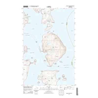
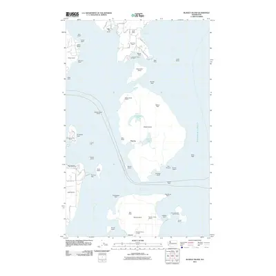 2011 Blakely Island2011 Print · USGSCovers Olga, including Decatur, Thatcher, and other nearby areas
 - 2014 Map of Blakely Island, 2014 Print
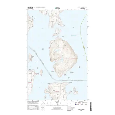
 2014 Blakely Island2014 Print · USGSCovers Olga, including Decatur, Thatcher, and other nearby areas
 - 2017 Map of Blakely Island, 2017 Print
 2017 Blakely Island2017 Print · USGSCovers Olga, including Decatur, Thatcher, and other nearby areas
 - 2020 Map of Blakely Island, 2020 Print
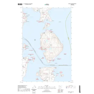 2020 Blakely Island2020 Print · USGSCovers Olga, including Decatur, Thatcher, and other nearby areas
 - 2023 Map of Blakely Island, 2023 Print
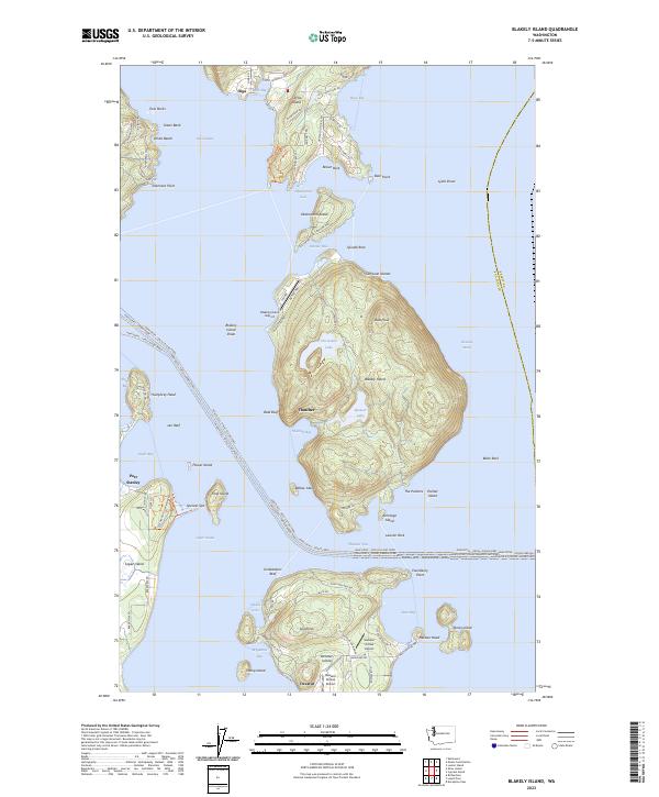 2023 Blakely Island2023 Print · USGSThe eastern San Juan Islands are mapped here in the modern era, showing the maritime networks and private airstrips that sustain these communities. Genealogists and local historians can trace the settlements of Thatcher and Decatur or locate family landmarks near Horseshoe Lake.
End of results
Showing maps 1-11 of 11
Top cities near Olga
Frequently asked questions
- What are the different types of historical maps available for Olga?
- What is the oldest map of Olga?
- Where can I purchase historical maps of Olga for my home or office?
- Where can I download high-res historical maps of Olga?
- Are there historical topographic maps available for Olga?
- Is there historical aerial imagery available for Olga?
- Where are historical maps of Olga sourced from?