Old Maps of Blanchard, Washington for Hiking & Exploration
Hike through history with 11 historic maps of Blanchard. Explore old trails, ghost towns, and forgotten backroads — perfect for outdoor adventurers and local explorers.
- Rediscover forgotten places: Map out old mining camps, roads, and footpaths that no longer exist on modern maps.
- Layer with modern tools: Combine with LiDAR or satellite views to plan hikes through historical terrain.
- Made for exploration: Popular among hikers, overlanders, and local history lovers.
Use these maps to find adventure and explore the hidden past of Blanchard.
Blanchard, WA maps
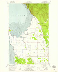
(11)- 1918 Map of Samish Lake
 1918 Samish Lake1918 Print · USGSCoastal Skagit and Whatcom counties appear here during the height of the early twentieth-century timber and rail era. Researchers can pinpoint long-standing landmarks like the Alger Shingle Mill, Blue Canyon, and the State Fish Hatchery.3 unique versions available
 - 1954 Map of Bow, 1956 Print
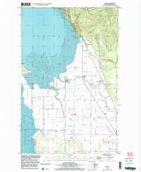
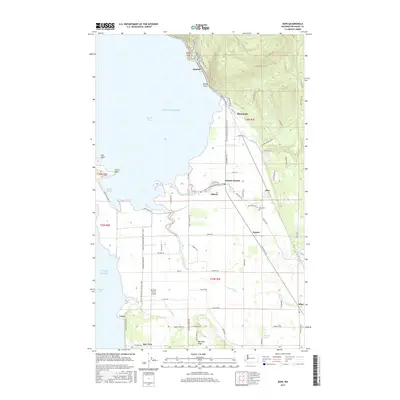
 1954 Bow1956 Print · USGSCoastal Skagit County comes to life in the mid-1950s, showing the intersection of the Great Northern railroad with tidal flats and farming towns. Trace the history of Samish Island and the rural schools and stations at Edison Station and Bow.4 unique versions available
 - 1954 Map of Samish Lake, 1960 Print
 1954 Samish Lake1960 Print · USGSCoastal Skagit and Whatcom Counties are captured here in the mid-fifties as rural settlements like Garden of Eden and Blue Canyon thrived alongside the growing college town of Bellingham. Genealogists can trace family landmarks like Belfast Sch, the Silver Run Grange Hall, and the Pierson Sch.
 - 1957 Map of Victoria, 1960 Print
 1957 Victoria1960 Print · USGSThe San Juan Islands and the North Cascades coastline are shown in detail during the late fifties, a period of significant military and industrial presence. Researchers can trace historic rail lines like the Great Northern or locate sites such as the Whidbey Island Naval Air Sta and Friday Harbor.4 unique versions available
 - 1975 Map of Bellingham, 1977 Print
 1975 Bellingham1977 Print · USGSNorthwest Washington in the mid-seventies is captured here, from the Canadian border at Blaine to the San Juan Islands. Researchers can trace tribal lands on the Lummi Indian Reservation, find rural settlements like Cokedale, or follow the Burlington Northern rail lines.
 - 1998 Map of Bow, 2003 Print
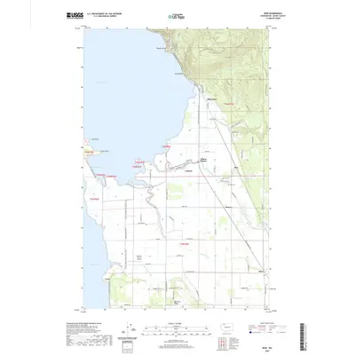
 1998 Bow2003 Print · USGSCoastal Skagit County near the close of the twentieth century shows a landscape of reclaimed tidelands and mountain foothills. Genealogists and local historians can trace family-named roads like Persons Road and locate rural hubs like Edison and the Edison Station.
 - 2011 Map of Bow, 2011 Print
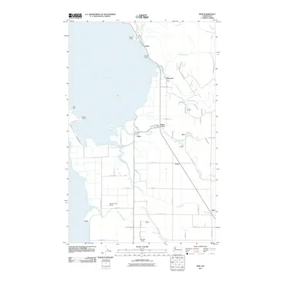 2011 Bow2011 Print · USGSCovers Blanchard, including Allen, Edison Station, and other nearby areas
 - 2014 Map of Bow, 2014 Print
 2014 Bow2014 Print · USGSCovers Blanchard, including Allen, Edison Station, and other nearby areas
 - 2017 Map of Bow, 2017 Print
 2017 Bow2017 Print · USGSCovers Blanchard, including Allen, Edison Station, and other nearby areas
 - 2020 Map of Bow, 2020 Print
 2020 Bow2020 Print · USGSCovers Blanchard, including Allen, Edison Station, and other nearby areas
 - 2023 Map of Bow, 2023 Print
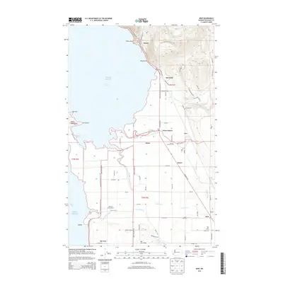
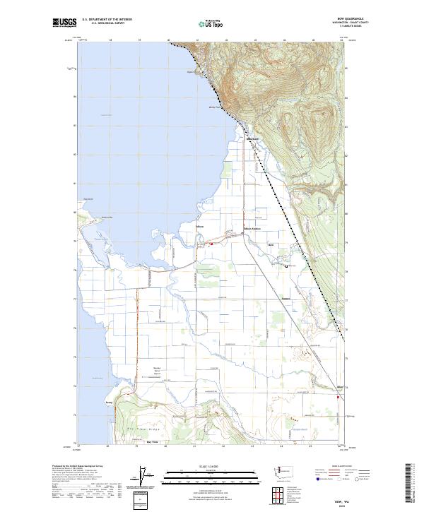 2023 Bow2023 Print · USGSCoastal Skagit County meets the fertile Samish flats in this modern survey of the Puget Sound shoreline. Researchers can trace the layout of small settlements like Blanchard and Edison or locate local landmarks including Bow Cem and Bayview Farms Airport.
End of results
Showing maps 1-11 of 11
Top cities near Blanchard
- Bellingham historical maps
- Mount Vernon historical maps
- Anacortes historical maps
- Ferndale historical maps
- Sedro-Woolley historical maps
- Burlington historical maps
See more
Frequently asked questions
- What are the different types of historical maps available for Blanchard?
- What is the oldest map of Blanchard?
- Where can I purchase historical maps of Blanchard for my home or office?
- Where can I download high-res historical maps of Blanchard?
- Are there historical topographic maps available for Blanchard?
- Is there historical aerial imagery available for Blanchard?
- Where are historical maps of Blanchard sourced from?