Old Maps of Day Creek, Washington for Metal Detecting
Plan your next treasure hunt with 12 historic maps of Day Creek. Find old homesites, ghost towns, trails, and gathering spots that may be lost to time — perfect for identifying promising metal detecting locations.
- Locate forgotten sites: Uncover places like long-lost settlements, abandoned rail lines, or gathering spots.
- Plan better hunts: Use map overlays combined with LiDAR or satellite views to narrow in on historically rich areas.
- Made for detectorists: Thousands of hobbyists use these maps to discover relics, coins, and hidden history.
Use these historic maps to boost your research and find new opportunities beneath the surface of Day Creek.
Day Creek, WA maps
(12)- 1911 Map of Mount Vernon
 1911 Mount Vernon1911 Print · USGSSkagit and Snohomish counties are shown here just after the turn of the century as the railroad and river networks fueled rapid growth. Researchers can trace historic transportation routes like the Anderson Ferry and the Monte Cristo RR through Mount Vernon and the Tulalip Indian Reservation.4 unique versions available
 - 1944 Map of Clear Lake
 1944 Clear Lake1944 Print · USGSSkagit County in the early 1940s was a hub of timber production and rail transport. Genealogists and historians can trace the Northern Pacific RR through settlements like Montborne and find rural landmarks such as Electron Sch and the high Lake Cavanaugh.
 - 1956 Map of Clear Lake, 1958 Print
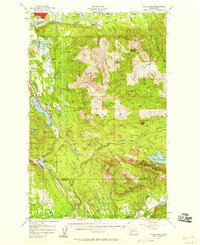 1956 Clear Lake1958 Print · USGSSkagit County's timber and rail corridor is captured here in the mid-fifties, from the banks of the Skagit River to the peaks of Cultus Mtn. Genealogists and historians can trace old community footprints in Sedro-Woolley, the rail-side village of McMurray, and the Old Railroad Grade near Lake Cavanaugh.3 unique versions available
 - 1957 Map of Victoria, 1960 Print
 1957 Victoria1960 Print · USGSThe San Juan Islands and the North Cascades coastline are shown in detail during the late fifties, a period of significant military and industrial presence. Researchers can trace historic rail lines like the Great Northern or locate sites such as the Whidbey Island Naval Air Sta and Friday Harbor.4 unique versions available
 - 1975 Map of Port Townsend, 1977 Print
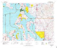 1975 Port Townsend1977 Print · USGSThe northern Puget Sound in the mid-seventies shows a landscape of military readiness and maritime industry. Researchers can trace the extensive Whidbey Island Naval Air Station or locate historic coastal defenses at Fort Casey Military Res and Fort Ebey Military Res.
 - 1985 Map of Haystack Mtn
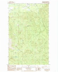 1985 Haystack Mtn1985 Print · USGSThe Skagit Valley and Cultus Mountains are captured here in the mid-1980s, showing a landscape defined by timber and mineral extraction. Researchers can trace old forest roads to high-country landmarks like Haystack Mtn, Dixie Lake, and the remote Day Creek settlement.
 - 1993 Map of Port Townsend
 1993 Port Townsend1993 Print · USGSThe Puget Sound and Whidbey Island are captured in the early nineties, showing a landscape defined by naval aviation and maritime trade. Genealogists and local historians can trace the development of Oak Harbor and Coupeville or locate family sites near the Arlington Municipal Cemetery and Ault Field.
 - 2011 Map of Haystack Mountain, 2011 Print
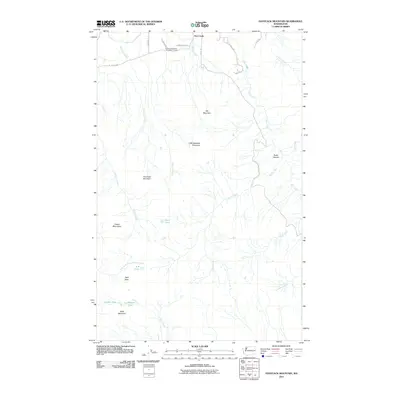 2011 Haystack Mountain2011 Print · USGSSkagit County's upland terrain is captured here at the start of the decade, showing the rural settlement of Day Creek near the river valley. Researchers can trace the industrial footprint of the Day Creek Sand and Gravel Quarry or locate remote landmarks like Dixie Lake and Split Rock.
 - 2014 Map of Haystack Mountain, 2014 Print
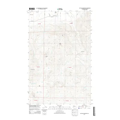 2014 Haystack Mountain2014 Print · USGSThe Skagit Valley gives way to the high ridges of the Cultus Mountains in this contemporary look at the rural landscape south of the river. Researchers can trace the drainages of Day Creek and Rocky Canyon or locate high-country features like Dixie Lake and Split Rock.
 - 2017 Map of Haystack Mountain, 2017 Print
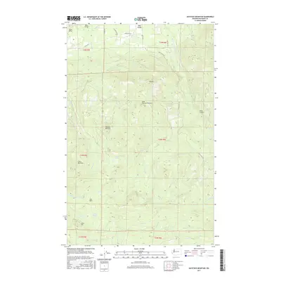 2017 Haystack Mountain2017 Print · USGSThe southern Skagit Valley meets the high ridges of the Cultus Mountains in this contemporary topographic record. Researchers can trace the drainage of Day Creek and locate family-named features like Ross Island, Dixie Lake, and Split Rock.
 - 2020 Map of Haystack Mountain, 2020 Print
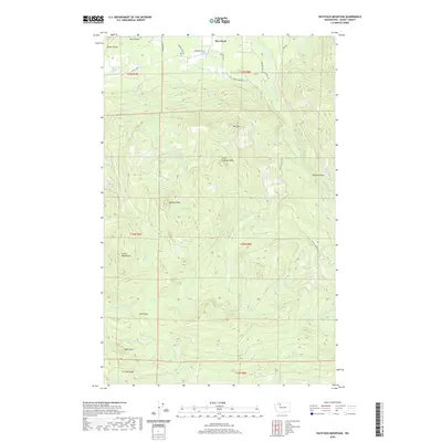 2020 Haystack Mountain2020 Print · USGSSkagit County’s foothills and mountain peaks are captured here in the early twenty-first century as the valley floor rises into the Cultus Mountains. Researchers can trace the drainage of Gilligan Cr past Split Rock or locate remote high-altitude water bodies like Dixie Lake and Gordon Lake.
 - 2023 Map of Haystack Mountain, 2023 Print
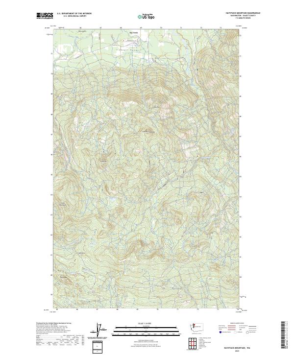 2023 Haystack Mountain2023 Print · USGSSkagit County’s timber and mountain country is shown here in modern detail, from the Skagit Valley floor to high summits. Researchers can trace rural access roads like Walberg Rd and locate upland water bodies such as Dixie Lake and Wagner Lake.
End of results
Showing maps 1-12 of 12
Top cities near Day Creek
Frequently asked questions
- What are the different types of historical maps available for Day Creek?
- What is the oldest map of Day Creek?
- Where can I purchase historical maps of Day Creek for my home or office?
- Where can I download high-res historical maps of Day Creek?
- Are there historical topographic maps available for Day Creek?
- Is there historical aerial imagery available for Day Creek?
- Where are historical maps of Day Creek sourced from?