Old Maps of Pioneer Estates, Arlington
Explore 12 old maps of Pioneer Estates, spanning from 1911 to today. These high-resolution historic maps reveal how streets, neighborhoods, landmarks, and natural features evolved over time — perfect for genealogy, metal detecting, research, and local history exploration.
What you can do with these maps:
- See how Pioneer Estates changed over time: Compare historical maps to modern-day views to trace roads, homesites, rail lines & more.
- View detailed metadata: Each map includes creators, publishers, year, scale, and archive source.
- Overlay maps with satellite & LiDAR: Visualize the past alongside modern tools to explore terrain & human change.
- Trusted historical sources: Maps sourced from the USGS, Library of Congress, and other archives.
- Access maps your way: View online, download high-res files, or order prints for personal or research use.
Start exploring old maps of Pioneer Estates to uncover forgotten places, hidden landmarks, and the deep history beneath your feet.
Pioneer Estates, Arlington maps
(12)- 1911 Map of Mount Vernon
 1911 Mount Vernon1911 Print · USGSSkagit and Snohomish counties are shown here just after the turn of the century as the railroad and river networks fueled rapid growth. Researchers can trace historic transportation routes like the Anderson Ferry and the Monte Cristo RR through Mount Vernon and the Tulalip Indian Reservation.4 unique versions available
 - 1941 Map of Marysville, 1959 Print
 1941 Marysville1959 Print · USGSSnohomish County is captured here just before the mid-century, showing the vital rail-and-river networks connecting the Puget Sound to the Cascades. Trace family roots and vanished landmarks through early rural sites like Shoultes Sch, the Tulalip Indian Reservation, and Sisco Heights.
 - 1943 Map of Marysville
 1943 Marysville1943 Print · USGSSnohomish County thrived as a railroad and river hub during the early 1940s. Genealogists and local historians can trace rural schoolhouse locations like Shoultes Sch and early transit nodes such as Lakewood English Sta and Stimson Crossing.2 unique versions available
 - 1956 Map of Arlington West, 1957 Print
 1956 Arlington West1957 Print · USGSSnohomish County in the mid-fifties reveals a landscape defined by the winding Stillaguamish River and the busy Northern Pacific rail line. Genealogists and historians can trace family-named roads and early settlements like Silvana, Smokey Point, and Lakewood (English Sta).6 unique versions available
 - 1957 Map of Victoria, 1960 Print
 1957 Victoria1960 Print · USGSThe San Juan Islands and the North Cascades coastline are shown in detail during the late fifties, a period of significant military and industrial presence. Researchers can trace historic rail lines like the Great Northern or locate sites such as the Whidbey Island Naval Air Sta and Friday Harbor.4 unique versions available
 - 1975 Map of Port Townsend, 1977 Print
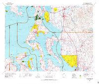 1975 Port Townsend1977 Print · USGSThe northern Puget Sound in the mid-seventies shows a landscape of military readiness and maritime industry. Researchers can trace the extensive Whidbey Island Naval Air Station or locate historic coastal defenses at Fort Casey Military Res and Fort Ebey Military Res.
 - 1993 Map of Port Townsend
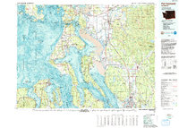 1993 Port Townsend1993 Print · USGSThe Puget Sound and Whidbey Island are captured in the early nineties, showing a landscape defined by naval aviation and maritime trade. Genealogists and local historians can trace the development of Oak Harbor and Coupeville or locate family sites near the Arlington Municipal Cemetery and Ault Field.
 - 2011 Map of Arlington West, 2011 Print
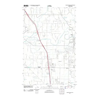 2011 Arlington West2011 Print · USGSSnohomish County is captured here in the early twenty-first century, showing the growing suburban corridor between the Stillaguamish River and Smokey Point. Researchers can trace local industrial history at the Arlington Quarry or locate sites like Arlington Cemetery and the Smokey Point Post Office.
 - 2014 Map of Arlington West, 2014 Print
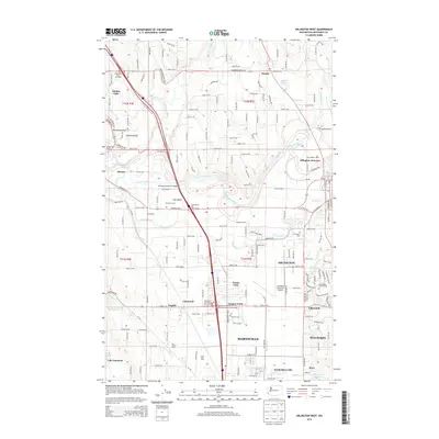 2014 Arlington West2014 Print · USGSSnohomish County is captured here in the mid-2010s, showcasing the agricultural valley of the Stillaguamish River alongside growing residential hubs. Genealogists and local historians can trace family dairy sites like Barlond Farms and Sundown Farms or locate ancestors at the Arlington Cem.
 - 2017 Map of Arlington West, 2017 Print
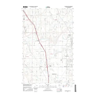 2017 Arlington West2017 Print · USGSArlington and Marysville are shown in a period of significant suburban integration and infrastructure growth during the late twenty-teens. Trace local genealogies and landmarks from Arlington Cem to the busy corridors of Smokey Point and Edgecomb.
 - 2020 Map of Arlington West, 2020 Print
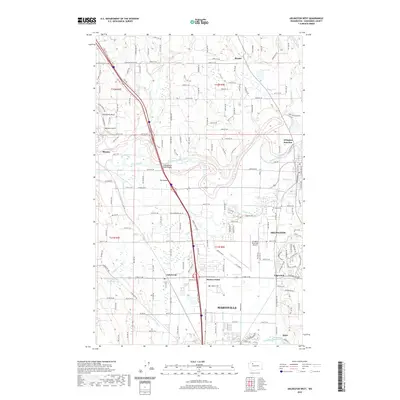 2020 Arlington West2020 Print · USGSSnohomish County is captured at a point of high connectivity in this 2020 map, centered on the river-and-rail corridor. Genealogists and local historians can locate legacy landmarks like the Arlington Cem, Silvana Ch, and the old rail junction at Sisco.
 - 2023 Map of Arlington West, 2023 Print
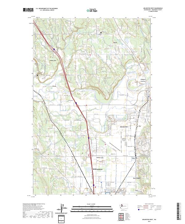 2023 Arlington West2023 Print · USGSSnohomish County settlements and the winding Stillaguamish River are documented here in the early twenty-first century. Researchers can trace family sites near Arlington Cem, explore the growth of Smokey Point, or locate the historic turn at Silvana.
End of results
Showing maps 1-12 of 12
Frequently asked questions
- What are the different types of historical maps available for Pioneer Estates?
- What is the oldest map of Pioneer Estates?
- Where can I purchase historical maps of Pioneer Estates for my home or office?
- Where can I download high-res historical maps of Pioneer Estates?
- Are there historical topographic maps available for Pioneer Estates?
- Is there historical aerial imagery available for Pioneer Estates?
- Where are historical maps of Pioneer Estates sourced from?