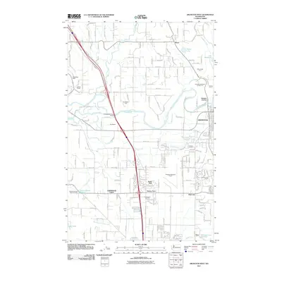
2011 Map of Arlington West
USGS Topo · Published 2011About this map
The Stillaguamish River snakes through this portion of Snohomish County, defining a landscape of complex waterways including Cook Slough, Portage Creek, and the confluence of Armstrong Creek. The city of Arlington anchors the eastern edge, showing its development near Arlington Junction and the Arlington Municipal Airport. The map documents a blend of municipal infrastructure and industrial activity, from the Rio Mount Dam to the Arlington Quarry and the Miller Shingle Quarry further north.
Find a feature on this map
46 named features on this map. Tap any name to fly to it.
Don’t see what you’re looking for? This feature index may not catch every label — zoom into the map to look around manually.
Map Details
Editions of this 2011 Arlington West Map
This is the sole edition of this map. No revisions or reprints were ever made.
Other maps of this area

1911 · Mount Vernon
USGS Topo · 1:125,000

1940 · Mt Vernon
USGS Topo · 1:62,500

1941 · Marysville
USGS Topo · 1:62,500

1943 · Marysville
USGS Topo · 1:62,500

1943 · Mt Vernon
USGS Topo · 1:62,500

1943 · Stanwood
USGS Topo · 1:62,500

1944 · Clear Lake
USGS Topo · 1:62,500

1956 · Tulalip
USGS Topo · 1:24,000

1956 · Arlington West
USGS Topo · 1:24,000

1956 · Arlington East
USGS Topo · 1:24,000