
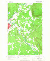
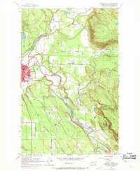
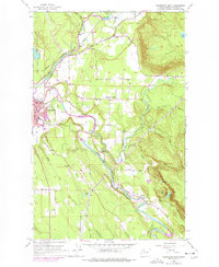
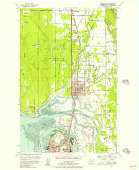
1956 Map of Arlington East
USGS Topo · Published 1957About this map
Arlington serves as the primary hub of this mid-century survey, situated at the confluence where the North Fork Stillaguamish River and South Fork Stillaguamish River meet. The landscape is defined by the flat valley floors of these water bodies, which contrast sharply with the rising timbered slopes of Ebey Hill and Sisco Heights. This era shows a well-established transportation network, with the Northern Pacific railroad cutting through the valley to serve the local industry and settlements like Trafton and Jordan.
Find a feature on this map
49 named features on this map. Tap any name to fly to it.
Don’t see what you’re looking for? This feature index may not catch every label — zoom into the map to look around manually.
Map Details
Editions of this 1956 Arlington East Map
4 editions found
Other maps of this area

1899 · Stillaguamish
USGS Topo · 1:125,000

1901 · Stilaguamish
USGS Topo · 1:125,000

1911 · Mount Vernon
USGS Topo · 1:125,000

1941 · Marysville
USGS Topo · 1:62,500

1943 · Marysville
USGS Topo · 1:62,500

1944 · Clear Lake
USGS Topo · 1:62,500

1955 · Concrete
USGS Topo · 1:250,000

1956 · Arlington West
USGS Topo · 1:24,000
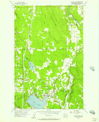
1956 · Lake Stevens
USGS Topo · 1:24,000
1956 · Marysville
USGS Topo · 1:24,000