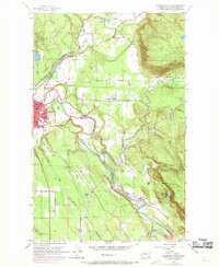
1956 Map of Arlington East
USGS Topo · Published 1969About this map
The confluence of the North Fork Stillaguamish River and the South Fork Stillaguamish River anchors this Snohomish County landscape. The town of Arlington serves as the primary hub on the western edge, where a concentration of development includes a High School and Substation. Moving east, the terrain transitions into the elevated plateau of Arlington Heights and the prominent slopes of Ebey Hill. This 1950s era survey, with revisions through the late 1960s, documents the infrastructure of the local timber and agricultural economy, including the Pacific Northern railroad line and various gravel extraction points like the Gravel Pit near Trafton. Smaller communities such as Jordan and clusters of lakeside residences near Lake Armstrong and King Lake illustrate the dispersed settlement patterns common before more modern suburban expansion.
Find a feature on this map
38 named features on this map. Tap any name to fly to it.
Don’t see what you’re looking for? This feature index may not catch every label — zoom into the map to look around manually.
Map Details
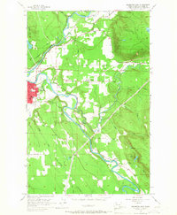
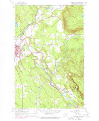
Editions of this 1956 Arlington East Map
4 editions found
Other maps of this area

1899 · Stillaguamish
USGS Topo · 1:125,000

1901 · Stilaguamish
USGS Topo · 1:125,000

1911 · Mount Vernon
USGS Topo · 1:125,000

1941 · Marysville
USGS Topo · 1:62,500

1943 · Marysville
USGS Topo · 1:62,500

1944 · Clear Lake
USGS Topo · 1:62,500

1955 · Concrete
USGS Topo · 1:250,000

1956 · Arlington West
USGS Topo · 1:24,000

1956 · Arlington East
USGS Topo · 1:24,000
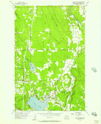
1956 · Lake Stevens
USGS Topo · 1:24,000