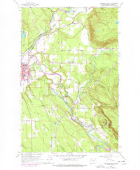
1956 Map of Arlington East
USGS Topo · Published 1977About this map
The North Fork Stillaguamish River and South Fork Stillaguamish River converge just east of Arlington, creating a landscape defined by fertile valley floors and the rising slopes of Ebey Hill. This 1950s survey documents the community of Trafton to the north and the development across Arlington Heights, while purple-tinted revisions from 1968 indicate the expanding urban footprint of the era. The infrastructure of the period is prominent, with a pipeline corridor cutting through Sisco Heights and multiple gaging stations monitoring the river forks.
Find a feature on this map
42 named features on this map. Tap any name to fly to it.
Don’t see what you’re looking for? This feature index may not catch every label — zoom into the map to look around manually.
Map Details
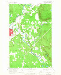
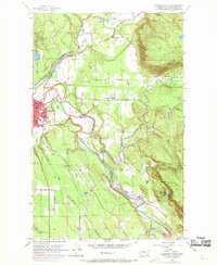
Editions of this 1956 Arlington East Map
4 editions found
Other maps of this area

1899 · Stillaguamish
USGS Topo · 1:125,000

1901 · Stilaguamish
USGS Topo · 1:125,000

1911 · Mount Vernon
USGS Topo · 1:125,000

1941 · Marysville
USGS Topo · 1:62,500

1943 · Marysville
USGS Topo · 1:62,500

1944 · Clear Lake
USGS Topo · 1:62,500

1955 · Concrete
USGS Topo · 1:250,000

1956 · Arlington West
USGS Topo · 1:24,000

1956 · Arlington East
USGS Topo · 1:24,000
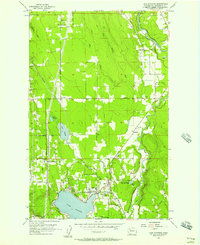
1956 · Lake Stevens
USGS Topo · 1:24,000