Old Maps of Pilchuck, Washington for Hiking & Exploration
Hike through history with 12 historic maps of Pilchuck. Explore old trails, ghost towns, and forgotten backroads — perfect for outdoor adventurers and local explorers.
- Rediscover forgotten places: Map out old mining camps, roads, and footpaths that no longer exist on modern maps.
- Layer with modern tools: Combine with LiDAR or satellite views to plan hikes through historical terrain.
- Made for exploration: Popular among hikers, overlanders, and local history lovers.
Use these maps to find adventure and explore the hidden past of Pilchuck.
Pilchuck, WA maps
(12)- 1899 Map of Stillaguamish, 1955 Print
 1899 Stillaguamish1955 Print · USGSThe North Cascades foothills at the turn of the century are defined by the rapid expansion of rail lines and mining camps. Trace the early routes of the Everett & Monte Cristo Ry and locate early settlements like Silverton, Darrington, and Granite Falls.
 - 1901 Map of Stilaguamish
 1901 Stilaguamish1901 Print · USGSThe North Cascades at the close of the nineteenth century reveal a landscape of mining camps and pioneer river settlements. Genealogists and historians can trace early families in Silverton, Darrington, and the remote Mansford Prairie.6 unique versions available
 - 1955 Map of Concrete, 1967 Print
 1955 Concrete1967 Print · USGSThe North Cascades in the mid-fifties reveal a landscape of deep glacier-fed lakes and riverside timber towns. You can trace the Great Northern rail lines through Granite Falls or locate remote outposts like Stehekin and Marblemount along the Skagit and Chelan waters.
 - 1956 Map of Granite Falls, 1958 Print
 1956 Granite Falls1958 Print · USGSIn the mid-fifties, Granite Falls served as a vital hub for the timber and mining operations of the Stillaguamish River valley. Genealogists and historians can trace the early riverside outposts of Robe and Verlot, locate the Wayside Mine, or study the Naval Reservation atop the mountains.4 unique versions available
 - 1958 Map of Concrete
 1958 Concrete1958 Print · USGSThe North Cascades and Skagit Valley are captured here in the late fifties, showing a landscape defined by glacier-carved peaks and river-bottom settlements. Genealogists and historians can locate remote mining sites like Holden Mine and mountain outposts such as Stehekin, Marblemount, and Mazama.2 unique versions available
 - 1962 Map of Concrete
 1962 Concrete1962 Print · USGSThe Northern Cascades in the early sixties reveal a landscape of high alpine peaks and deep river valleys before the modern park era. Genealogists and historians can trace rail-and-river towns like Concrete, Darrington, and Stehekin, alongside industry at the Holden Mine.
 - 1989 Map of Granite Falls
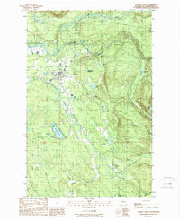 1989 Granite Falls1989 Print · USGSGranite Falls and the surrounding Snohomish County river valleys are captured here in the late eighties as timber lands met growing rural development. Genealogists and hikers can locate family landmarks like Bosworth Lake, the local Cem, and the winding Pilchuck River.2 unique versions available
 - 2011 Map of Granite Falls, 2011 Print
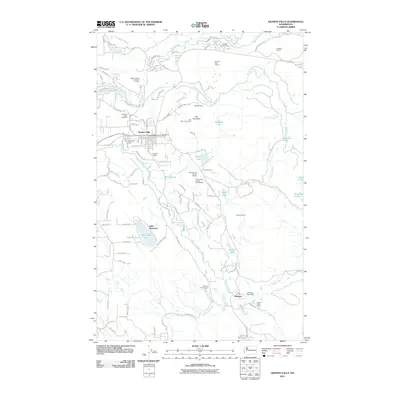 2011 Granite Falls2011 Print · USGSGranite Falls and the Stillaguamish River valley are captured here during a period of ongoing industrial activity and residential growth. Local researchers can trace old mining roads to the Wayside Mine or locate family sites near the American Legion Cemetery and Lake Bosworth.
 - 2014 Map of Granite Falls, 2014 Print
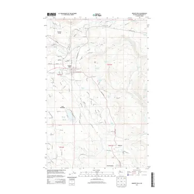 2014 Granite Falls2014 Print · USGSGranite Falls and its neighboring timber and river lands are documented here in the early twenty-first century. Genealogists and local historians can trace the American Legion Cem, locate the Canyon Creek Lodge, and follow the old Wayside Mine Rd.
 - 2017 Map of Granite Falls, 2017 Print
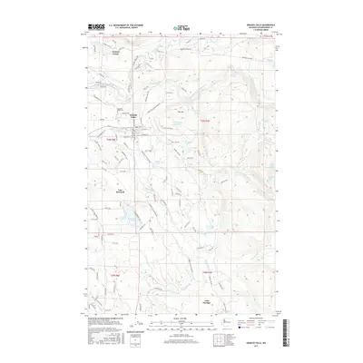 2017 Granite Falls2017 Print · USGSGranite Falls and the Stillaguamish River valley are captured here in the late twenty-teens, showing the intersection of mountain access and lakeside living. Genealogists and local historians can trace family plots at American Legion Cem or explore the settlement patterns around Lake Bosworth and Canyon Creek.
 - 2020 Map of Granite Falls, 2020 Print
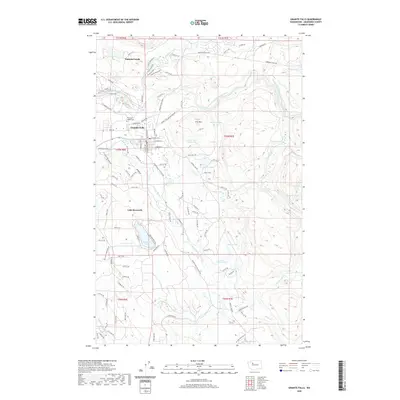 2020 Granite Falls2020 Print · USGSGranite Falls and the Stillaguamish riverfront appear in this modern survey of the Snohomish County foothills. Researchers can trace local landmarks like the American Legion Cem, the Gardner Baker school, and the many timber roads surrounding Lake Bosworth.
 - 2023 Map of Granite Falls, 2023 Print
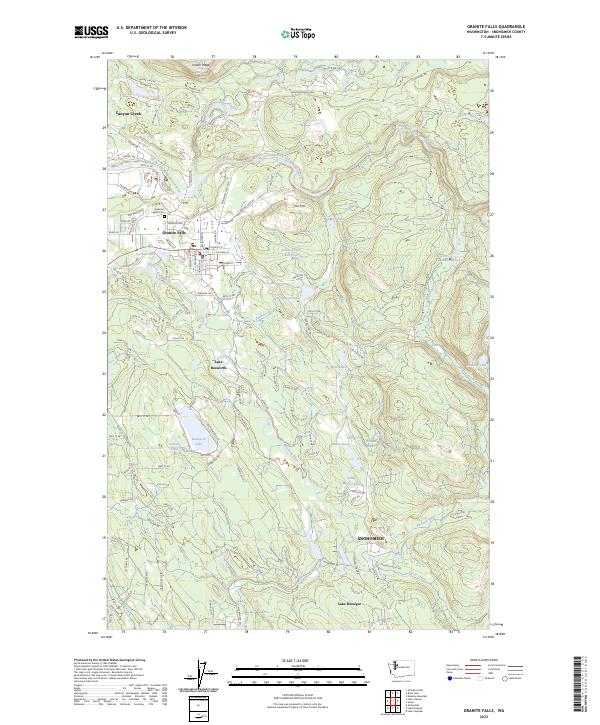 2023 Granite Falls2023 Print · USGSGranite Falls and the Stillaguamish River valley are captured here in the early 2020s, showing a landscape of timber lands and glacial lakes. Trace the local geography from American Legion Cem to the shores of Lake Bosworth and Lake Roesiger.
End of results
Showing maps 1-12 of 12
Top cities near Pilchuck
- Everett historical maps
- Marysville historical maps
- Lake Stevens historical maps
- Arlington historical maps
- Monroe historical maps
- Maltby historical maps
See more
Frequently asked questions
- What are the different types of historical maps available for Pilchuck?
- What is the oldest map of Pilchuck?
- Where can I purchase historical maps of Pilchuck for my home or office?
- Where can I download high-res historical maps of Pilchuck?
- Are there historical topographic maps available for Pilchuck?
- Is there historical aerial imagery available for Pilchuck?
- Where are historical maps of Pilchuck sourced from?