Old Maps of Medical Lake, Washington for Academic Research
Study the evolution of Medical Lake with 14 high-resolution historic maps. Whether you're teaching, researching, or modeling changes in land use, these maps provide essential visual documentation of urban, environmental, and geographic change.
- Analyze long-term change: Track patterns in development, transportation, and natural features.
- Ideal for environmental or urban studies: Support academic projects with primary historical map data.
- Use in the classroom or lab: Educators and researchers rely on these maps to bring historical context to life.
These maps are a powerful tool for teaching, research, and visualizing how Medical Lake has changed over the decades.
Medical Lake, WA maps
(14)- 1943 Map of Medical Lake
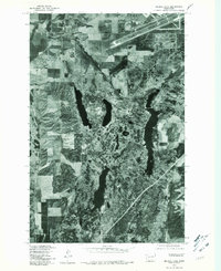
 1943 Medical Lake1943 Print · USGSThe prairie and lake country west of Spokane in the early 1940s reveals a landscape of rural schools, rail junctions, and major public institutions. Researchers can locate family landmarks like Gramps Landing, Spring Hill Grange, and the State Custodial School.
 - 1954 Map of Medical Lake, 1956 Print
 1954 Medical Lake1956 Print · USGSSpokane County's institutional and military landscape comes into focus during the mid-fifties. Researchers can trace the extensive grounds of Eastern State Hospital or locate the sprawling Fairchild Air Force Base and the rail-stop at Espanola.
 - 1954 Map of Medical Lake, 1956 Print
 1954 Medical Lake1956 Print · USGSSpokane County's military and institutional landscape is captured here during the mid-fifties, dominated by massive airfields and state facilities. Genealogists and historians can trace Fairchild Air Force Base, the Deno School, and early burial sites like Greenwood Prairie Cem.2 unique versions available
 - 1955 Map of Spokane, 1965 Print
 1955 Spokane1965 Print · USGSInland Empire life in the fifties and sixties centers on the growth of Spokane and the heavy mining industry of northern Idaho. Trace mid-century landmarks like Fairchild Air Force Base, the Bunker Hill Mine, and early campuses such as Gonzaga University.2 unique versions available
 - 1958 Map of Spokane
 1958 Spokane1958 Print · USGSThe Inland Empire is shown at a mid-century peak of industrial and military activity, from the rail hubs of Spokane to the deep silver mines of northern Idaho. Researchers can trace the sprawling rail lines of the Union Pacific RR or locate landmarks like Fairchild Air Force Base and the Bunker Hill Smelter & Mine.
 - 1963 Map of Medical Lake, 1964 Print
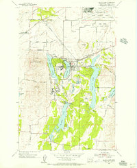
 1963 Medical Lake1964 Print · USGSSpokane County in the early 1960s reveals a landscape shaped by institutional growth and military expansion. Genealogists and historians can trace the footprints of Eastern State Hospital and Lakeland Village or locate burials at St Annes Cemetery.
 - 1973 Map of Medical Lake, 1975 Print
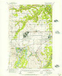
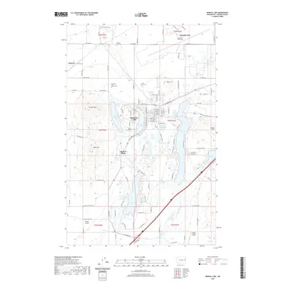
 1973 Medical Lake1975 Print · USGSSpokane County's institutional and military landscape comes into focus in the 1970s, from the lakeside town to the air base. Genealogists and historians can trace the footprint of Lakeland Village, find the old Grange Hall, and locate Medical Lake Cem.3 unique versions available
 - 1978 Map of Medical Lake, 1981 Print
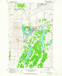
 1978 Medical Lake1981 Print · USGSMedical Lake and the Spokane County scablands are shown in detail during the late seventies, just before the turn of the decade. Genealogists and historians can trace the growth of Medical Lake and the landscape surrounding Silver Lake and Clear Lake.
 - 1987 Map of Spokane
 1987 Spokane1987 Print · USGSGreater Spokane and its surrounding prairies are captured in the late 1980s as the region solidified its role as a regional hub. Researchers can trace family sites near Medical Lake, military life at Fairchild Air Force Base, and rural settlements like Peone and Chattaroy.
 - 2011 Map of Medical Lake, 2011 Print
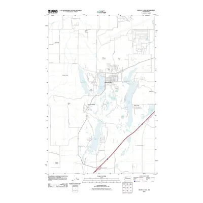 2011 Medical Lake2011 Print · USGSCovers Medical Lake, including Espanola, Silver Lake, and other nearby areas
 - 2014 Map of Medical Lake, 2014 Print
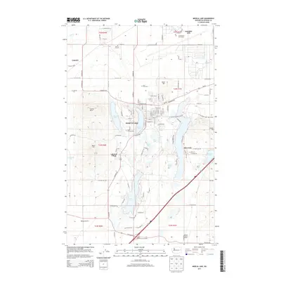 2014 Medical Lake2014 Print · USGSCovers Medical Lake, including Espanola, Silver Lake, and other nearby areas
 - 2017 Map of Medical Lake, 2017 Print
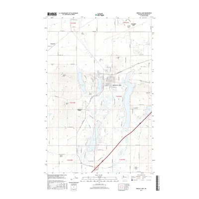 2017 Medical Lake2017 Print · USGSCovers Medical Lake, including Espanola, Silver Lake, and other nearby areas
 - 2020 Map of Medical Lake, 2020 Print
 2020 Medical Lake2020 Print · USGSCovers Medical Lake, including Espanola, Silver Lake, and other nearby areas
 - 2023 Map of Medical Lake, 2023 Print
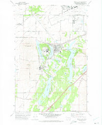
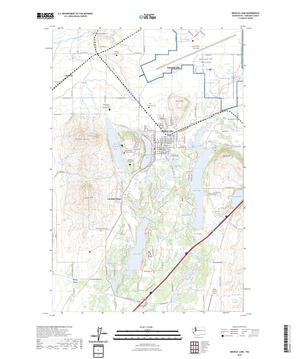 2023 Medical Lake2023 Print · USGSSpokane County's transition from military airfield to lakeside settlement is clear in this contemporary survey. Researchers can trace institutional history and family roots at the Washington State Veterans Cem or locate the rural crossroads of Espanola and Malloy Prairie.
End of results
Showing maps 1-14 of 14
Top cities near Medical Lake
- Spokane historical maps
- Cheney historical maps
- Airway Heights historical maps
- Reardan historical maps
- Espanola historical maps
Frequently asked questions
- What are the different types of historical maps available for Medical Lake?
- What is the oldest map of Medical Lake?
- Where can I purchase historical maps of Medical Lake for my home or office?
- Where can I download high-res historical maps of Medical Lake?
- Are there historical topographic maps available for Medical Lake?
- Is there historical aerial imagery available for Medical Lake?
- Where are historical maps of Medical Lake sourced from?