2023 Map of Medical Lake
USGS Topo · Published 2023About this map
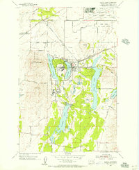
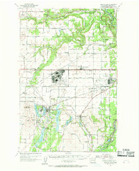
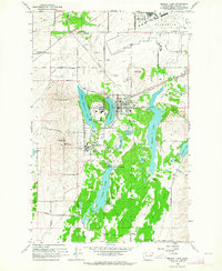
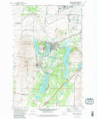
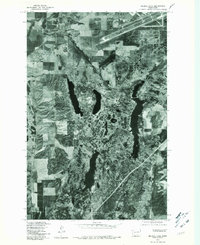
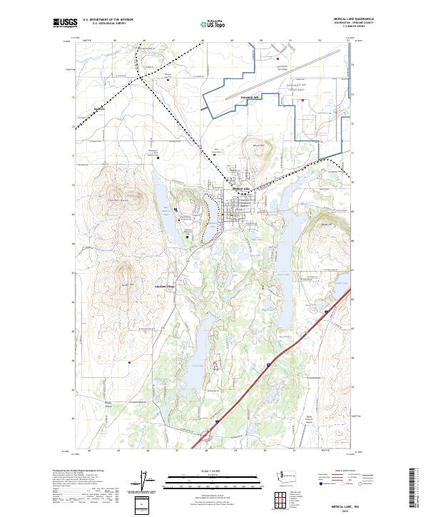
Fairchild Air Force Base dominates the northern landscape of this region, reflecting a decades-long military presence in Spokane County. The town of Medical Lake is the central hub, surrounded by a high concentration of institutional and memorial sites, including the Washington State Veterans Cem, Saint Annes Cem, and the Eastern State Hospital Cem. The map reveals a complex aquatic landscape where water bodies like West Medical Lake, Silver Lake, and Clear Lake are interspersed with low hills such as Olson Hill and Fancher Butte. Settlement patterns range from the organized streets of the main town to the outlier communities of Espanola and Lakeland Village. Infrastructure is notably defined by the BNSF Railway corridor and smaller specialized landmarks like the Flying R Ranch Airport in the south, suggesting a diverse mix of agricultural, institutional, and residential land use.
Find a feature on this map
119 named features on this map. Tap any name to fly to it.
Don’t see what you’re looking for? This feature index may not catch every label — zoom into the map to look around manually.
Map Details
Editions of this 2023 Medical Lake Map
This is the sole edition of this map. No revisions or reprints were ever made.
Historical Maps of Medical Lake Through Time
7 maps found