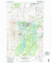
1973 Map of Medical Lake
USGS Topo · Published 1988About this map
The town of Medical Lake and the expansive facilities of Lakeland Village dominate this landscape west of Spokane. This 1973 field-checked survey highlights a significant concentration of public and medical institutions, including the State Hospital and its complex boundary lines. To the north, the sprawling infrastructure of Fairchild Air Force Base occupies the plateau, while the Burlington Northern railroad cuts a diagonal path through the prairie, connecting smaller communities like Espanola.
Find a feature on this map
45 named features on this map. Tap any name to fly to it.
Don’t see what you’re looking for? This feature index may not catch every label — zoom into the map to look around manually.
Map Details
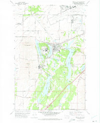
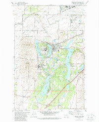
Editions of this 1973 Medical Lake Map
3 editions found
Other maps of this area

1943 · Medical Lake
USGS Topo · 1:62,500

1945 · Reardan
USGS Topo · 1:62,500

1953 · Reardan
USGS Topo · 1:62,500

1954 · Airway Heights
USGS Topo · 1:24,000

1954 · Medical Lake
USGS Topo · 1:24,000

1954 · Medical Lake
USGS Topo · 1:62,500

1954 · Cheney
USGS Topo · 1:62,500
1954 · Four Lakes
USGS Topo · 1:24,000

1954 · Sprague
USGS Topo · 1:62,500

1954 · Deep Creek
USGS Topo · 1:24,000