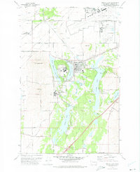
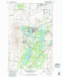
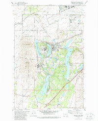
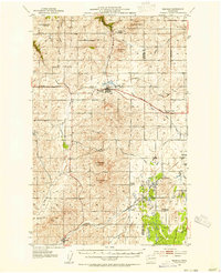
1973 Map of Medical Lake
USGS Topo · Published 1975About this map
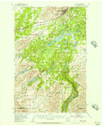
Medical Lake and its surrounding water bodies define this landscape on the edge of the Spokane plains during the mid-1970s. The town is flanked by a significant institutional corridor, including the State Hospital and Lakeland Village, while the massive footprint of Fairchild Air Force Base dominates the northeastern corner of the map. This area shows a dense concentration of medical and military facilities, contrasted by the quiet agricultural character of Espanola and the expanse of Malloy Prairie to the southwest. The presence of the Burlington Northern railroad lines and several sandpits and gravel pits suggests an active industrial and logistical network supporting the region. Researchers can trace local genealogy through several documented sites like Medical Lake Cem and St Annes Cem, or explore the terrain surrounding named heights such as Fancher Butte and Olson Hill.
Find a feature on this map
55 named features on this map. Tap any name to fly to it.
Don’t see what you’re looking for? This feature index may not catch every label — zoom into the map to look around manually.
Map Details
Editions of this 1973 Medical Lake Map
3 editions found
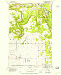
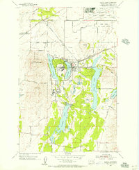
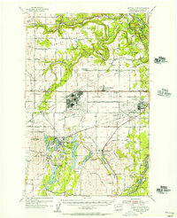
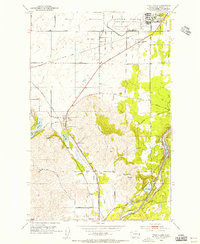
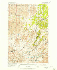
Other maps of this area

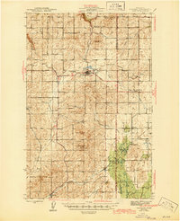
1943 · Medical Lake
USGS Topo · 1:62,500
1945 · Reardan
USGS Topo · 1:62,500
1953 · Reardan
USGS Topo · 1:62,500
1954 · Airway Heights
USGS Topo · 1:24,000
1954 · Medical Lake
USGS Topo · 1:24,000
1954 · Medical Lake
USGS Topo · 1:62,500
1954 · Cheney
USGS Topo · 1:62,500
1954 · Four Lakes
USGS Topo · 1:24,000
1954 · Sprague
USGS Topo · 1:62,500

1954 · Deep Creek
USGS Topo · 1:24,000