Old Maps of Fairview, Washington for Academic Research
Study the evolution of Fairview with 13 high-resolution historic maps. Whether you're teaching, researching, or modeling changes in land use, these maps provide essential visual documentation of urban, environmental, and geographic change.
- Analyze long-term change: Track patterns in development, transportation, and natural features.
- Ideal for environmental or urban studies: Support academic projects with primary historical map data.
- Use in the classroom or lab: Educators and researchers rely on these maps to bring historical context to life.
These maps are a powerful tool for teaching, research, and visualizing how Fairview has changed over the decades.
Fairview, WA maps
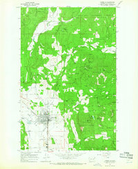
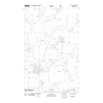
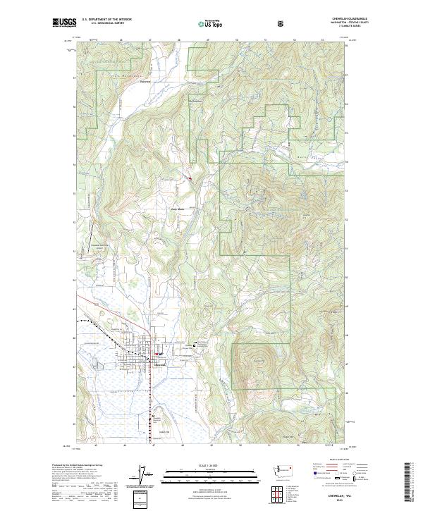
(13)- 1927 Map of Chewelah, 1957 Print
 1927 Chewelah1957 Print · USGSStevens County was a hub of mining and rail during the late twenties, centered on the Colville River valley. Genealogists can trace family footprints through dozens of rural landmarks like Halfway House, Camas Sch, and the United Copper Mine.
 - 1930 Map of Chewelah
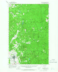
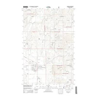
 1930 Chewelah1930 Print · USGSStevens County's mining and timber landscape comes alive in the late 1920s, showing the vital rail-to-river corridor. Trace family roots and vanished industrial sites from Springdale to Chewelah, including the United Copper Mine and Bear Creek Sch.2 unique versions available
 - 1958 Map of Sandpoint, 1966 Print
 1958 Sandpoint1966 Print · USGSThe Idaho Panhandle and Northeast Washington are shown here in the late fifties, when timber and hydroelectric power drove the local economy. Trace family roots in rail-side towns like Cusick or Metaline Falls, and locate landmarks like the Albeni Falls Dam or Falls Ranger Station.2 unique versions available
 - 1963 Map of Sandpoint
 1963 Sandpoint1963 Print · USGSNorthern Idaho and eastern Washington are shown in the early sixties as a high-country network of timber, mining, and rail. Genealogists and historians can trace the Great Northern line through Metaline Falls, Bonners Ferry, and past the Finch Mine.
 - 1964 Map of Chewelah, 1965 Print
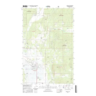
 1964 Chewelah1965 Print · USGSChewelah and the surrounding Stevens County mining districts are captured here in the mid-1960s during a period of heavy mineral extraction. Trace the extensive rail and mine networks of the day, including the Great Northern line, the Jay Gould Mine, and the United Copper No 1 Mine.4 unique versions available
 - 1964 Map of Chewelah Mtn, 1966 Print
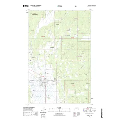
 1964 Chewelah Mtn1966 Print · USGSThe mining and rail corridor of the Colville River valley comes into sharp focus during the mid-sixties. Genealogists and historians can locate family-named landmarks and industrial sites like the Copper King No 1 Mine, St Marys Mission, and the Northern Pacific RR through Chewelah.2 unique versions available
 - 1984 Map of Chewelah
 1984 Chewelah1984 Print · USGSNortheastern Washington in the mid-1980s is documented here through its valley settlements and mountain mining districts. Researchers can trace the Burlington Northern line between Springdale and Addy, or locate historical operations like the Wells Fargo Mine and Keystone Mine.
 - 1992 Map of Chewelah, 1996 Print
 1992 Chewelah1996 Print · USGSIn the early 1990s, the Chewelah Valley was a hub of mining activity and rail transport beneath the Colville National Forest. Trace the deep history of local industry through landmarks like the United Copper No 1 Mine and the Burlington Northern rail line.
 - 2011 Map of Chewelah, 2011 Print
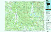
 2011 Chewelah2011 Print · USGSCovers Fairview, including Chewelah, Cozy Nook, and other nearby areas
 - 2014 Map of Chewelah, 2014 Print
 2014 Chewelah2014 Print · USGSCovers Fairview, including Chewelah, Cozy Nook, and other nearby areas
 - 2017 Map of Chewelah, 2017 Print
 2017 Chewelah2017 Print · USGSCovers Fairview, including Chewelah, Cozy Nook, and other nearby areas
 - 2020 Map of Chewelah, 2020 Print
 2020 Chewelah2020 Print · USGSCovers Fairview, including Chewelah, Cozy Nook, and other nearby areas
 - 2023 Map of Chewelah, 2023 Print
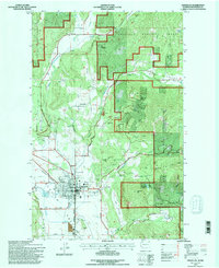
 2023 Chewelah2023 Print · USGSChewelah and the surrounding Stevens County highlands are documented in this recent survey of the Colville River valley. Researchers can trace family sites near Pioneer Cem, the historic settlement of Fairview, and the old paths through Lost Valley.
End of results
Showing maps 1-13 of 13
Top cities near Fairview
Frequently asked questions
- What are the different types of historical maps available for Fairview?
- What is the oldest map of Fairview?
- Where can I purchase historical maps of Fairview for my home or office?
- Where can I download high-res historical maps of Fairview?
- Are there historical topographic maps available for Fairview?
- Is there historical aerial imagery available for Fairview?
- Where are historical maps of Fairview sourced from?