
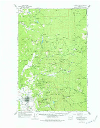
1964 Map of Chewelah Mtn
USGS Topo · Published 1966About this map
Chewelah serves as the focal point for this mid-1960s survey of Stevens County, sitting along the Colville River and the Northern Pacific RR. The map illustrates a landscape shaped by significant mining activity, with a dense concentration of claims and workings such as the United Copper No 1 Mine, Blue Star Mine, and Jay Gould Mine dotting the ridges of Eagle Mtn and Quartzite Mtn. These operations, along with numerous quarries and gravel pits, speak to the mineral-driven economy that defined the region's development.
Find a feature on this map
108 named features on this map. Tap any name to fly to it.
Don’t see what you’re looking for? This feature index may not catch every label — zoom into the map to look around manually.
Map Details
Editions of this 1964 Chewelah Mtn Map
2 editions found
Other maps of this area

1927 · Chewelah
USGS Topo · 1:125,000

1929 · Colville
USGS Topo · 1:125,000

1930 · Chewelah
USGS Topo · 1:125,000

1933 · Colville
USGS Topo · 1:125,000

1934 · Metaline
USGS Topo · 1:125,000

1936 · Newport
USGS Topo · 1:96,000

1942 · Metaline
USGS Topo · 1:125,000

1942 · Newport
USGS Topo · 1:125,000

1952 · White Mud Lake
USGS Topo · 1:24,000

1958 · Sandpoint
USGS Topo · 1:250,000