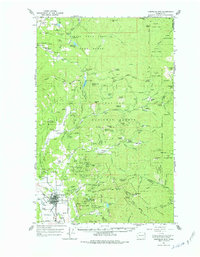
1964 Map of Chewelah Mtn
USGS Topo · Published 1977About this map
Mining operations and timberlands dominate this mid-century survey of the Selkirk Mountains foothills in Stevens County. The town of Chewelah serves as the industrial hub, situated along the Northern Pacific railroad and near the Chewelah Rodeo Grounds. The map documents a dense concentration of mineral extraction to the east, including the United Copper Mine, Copper King No 1 Mine, and Chewelah Silver Mine, illustrating the intense geological exploration of Quartzite Mtn and the Jay Gould Ridge.
Find a feature on this map
102 named features on this map. Tap any name to fly to it.
Don’t see what you’re looking for? This feature index may not catch every label — zoom into the map to look around manually.
Map Details
Editions of this 1964 Chewelah Mtn Map
2 editions found

Other maps of this area

1927 · Chewelah
USGS Topo · 1:125,000

1929 · Colville
USGS Topo · 1:125,000

1930 · Chewelah
USGS Topo · 1:125,000

1933 · Colville
USGS Topo · 1:125,000

1934 · Metaline
USGS Topo · 1:125,000

1936 · Newport
USGS Topo · 1:96,000

1942 · Metaline
USGS Topo · 1:125,000

1942 · Newport
USGS Topo · 1:125,000

1952 · White Mud Lake
USGS Topo · 1:24,000

1958 · Sandpoint
USGS Topo · 1:250,000