Old Maps of Bucoda, Washington for Metal Detecting
Plan your next treasure hunt with 25 historic maps of Bucoda. Find old homesites, ghost towns, trails, and gathering spots that may be lost to time — perfect for identifying promising metal detecting locations.
- Locate forgotten sites: Uncover places like long-lost settlements, abandoned rail lines, or gathering spots.
- Plan better hunts: Use map overlays combined with LiDAR or satellite views to narrow in on historically rich areas.
- Made for detectorists: Thousands of hobbyists use these maps to discover relics, coins, and hidden history.
Use these historic maps to boost your research and find new opportunities beneath the surface of Bucoda.
Bucoda, WA maps
(25)- 1916 Map of Chehalis
 1916 Chehalis1916 Print · USGSDuring a period of rapid development along the Chehalis and Skookumchuck Rivers, these valleys supported a thriving network of timber camps and rail towns. Genealogists can trace family landmarks like Logan Hill School, the Centralia Seminary, and the Salmon Creek Mill.4 unique versions available
 - 1940 Map of Tenino
 1940 Tenino1940 Print · USGSThurston County’s rail and timber landscape is documented here at the start of the 1940s, showing a critical intersection of three major railroads. Genealogists and local historians can trace the rural school districts of Spurgeon Creek Sch and the industrial footprint of the Panama Lumber & Shingle Co.
 - 1944 Map of Tenino
 1944 Tenino1944 Print · USGSThurston County and the Lewis County border are captured in the mid-1940s, highlighting a landscape shaped by coal mining and heavy rail. Genealogists and historians can trace the positions of old schools like Cattail Sch, local landmarks such as the Oregon Trail Monument, and mining sites including Tono Mine No 1.
 - 1949 Map of Tenino, 1958 Print
 1949 Tenino1958 Print · USGSThe Tenino region of Washington is captured here in the late 1940s as a bustling corridor of rail lines and expansive prairies. Researchers can trace historic coal mining at Monarch Mines, locate the Oregon Trail Monument, or find rural landmarks like Violet Prairie Church.2 unique versions available
 - 1953 Map of Hoquiam
 1953 Hoquiam1953 Print · USGSSouthwest Washington in the early fifties shows a landscape shaped by timber, rail, and river commerce from the coast to the Cascades. Genealogists and historians can trace the development of timber towns like Ryderwood and the industrial hubs of Hoquiam and Kelso.2 unique versions available
 - 1957 Map of Hoquiam
 1957 Hoquiam1957 Print · USGSCoastal timber ports and inland rail hubs define Southwest Washington during the late fifties. Genealogists can trace early twentieth-century settlements like Bordeaux, Tono, and Cosmopolis alongside the expanding tracks of the Northern Pacific.
 - 1958 Map of Hoquiam, 1969 Print
 1958 Hoquiam1969 Print · USGSSouthwest Washington and the Columbia River estuary appear here in the mid-century, before major landscape shifts. Researchers can trace the rail lines of the Northern Pacific, locate the Fort Henness Site, or explore the Naselle Air Force Station.2 unique versions available
 - 1959 Map of Tenino SW, 1966 Print
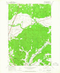 1959 Tenino SW1966 Print · USGSThe prairies of southern Thurston County meet the coal-rich hills of the Lewis County line during the mid-century. Genealogists and industrial historians can trace the paths of the Northern Pacific Railroad and locate family-named sites like the Monarch Mine, Stoker Mine, or Bucoda.2 unique versions available
 - 1959 Map of Bucoda, 1966 Print
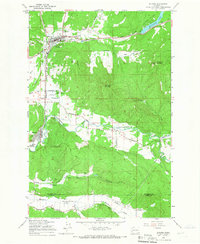 1959 Bucoda1966 Print · USGSThurston and Lewis Counties are captured here in the late fifties as a hub of rail activity and river valley industry. Researchers can trace the path of the Great Northern railroad, locate the Black Prince Mine, or find the Oregon Trail Monument.3 unique versions available
 - 1959 Map of Tenino, 1967 Print
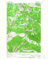 1959 Tenino1967 Print · USGSSouthern Thurston County's river-and-rail corridor is captured here during the late fifties, showing the industrial connection between the coal mines and the valley towns. Genealogists and historians can trace family-named sites like Kellys Korner or locate old community hubs such as Grange Hall and the settlement of Tono.
 - 1962 Map of Hoquiam
 1962 Hoquiam1962 Print · USGSSouthwest Washington in the late fifties is defined by the bustling timber ports of Hoquiam and the rail-linked commerce of the interior valleys. Genealogists and historians can trace the early footprints of settlements like Raymond and Pe Ell, or locate family sites at Grand Mound Cem and Odd Fellows Cem.
 - 1964 Map of Tenino, 1965 Print
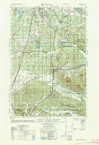 1964 Tenino1965 Print · USGSThurston and Lewis Counties are captured in the mid-1960s as timber, coal mining, and rail transport defined the local economy. Researchers can find old grange halls, several coal operations like the Black Diamond Coal Mine, and the historic Oregon Trail Monument near Tenino.
 - 1980 Map of Centralia
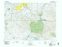 1980 Centralia1980 Print · USGSThe rail and river corridors of southwestern Washington are captured here in the late twentieth century, showing the region's transition from resource extraction to managed forest land. Researchers can trace the industrial footprint of the Stoker Mine, the rails of the Union Pacific, and the early development of Centralia and Chehalis.
 - 1990 Map of Bucoda, 1995 Print
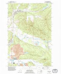 1990 Bucoda1995 Print · USGSThe Tenino and Bucoda area in the 1990s shows a landscape of timbered ridges and active valley mining. Researchers can trace the legacy of the Black Prince Mine, explore the Forest Cemetery, and follow the Old Railroad Grade through the Hanaford Valley.
 - 1990 Map of Violet Prairie, 1995 Print
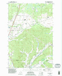 1990 Violet Prairie1995 Print · USGSThurston and Lewis counties come together in this 1990s survey of the prairie landscapes south of the state capital. Genealogists can trace early mining operations at Monarch Mine or locate families near Bucoda and Violet.
 - 2011 Map of Bucoda, 2011 Print
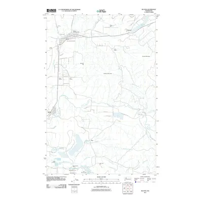 2011 Bucoda2011 Print · USGSThe Thurston County corridor south of Olympia is captured here in the early twenty-first century, showing the enduring paths of pioneer and industrial history. Researchers can trace the Oregon Trail Monument, find the Black Prince Mine, and locate graves at Forest Cemetery.
 - 2011 Map of Violet Prairie, 2011 Print
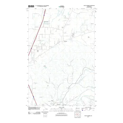 2011 Violet Prairie2011 Print · USGSNorth of Centralia in the early twenty-first century, this landscape is a patchwork of prairie lands and industrial history. Researchers can trace the coal-mining legacy at the Monarch Mine and Majestic Mine or locate smaller settlements like Sunnydale and Foran.
 - 2013 Map of Violet Prairie, 2013 Print
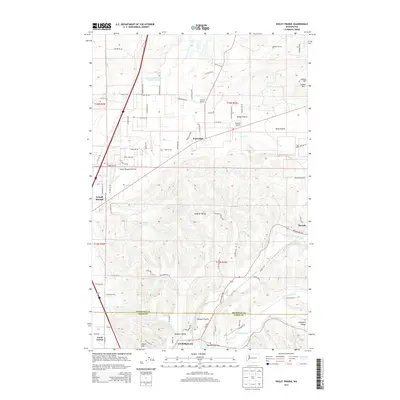 2013 Violet Prairie2013 Print · USGSThe Centralia and Bucoda region at the turn of the 21st century reveals a landscape of glacial prairies and river valleys. Researchers can trace the rural layout of Grand Mound, Violet Prairie, and the aviation history of Sorrell Airport and Wissler's Airport.
 - 2013 Map of Bucoda, 2013 Print
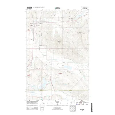 2013 Bucoda2013 Print · USGSThurston and Lewis counties come together in this early twenty-first-century view of the Skookumchuck River valley. Local historians can trace the path of the Oregon Trail Monument, find the grounds of Forest Cem, and locate the rail-linked settlements of Tenino and Bucoda.
 - 2017 Map of Bucoda, 2017 Print
 2017 Bucoda2017 Print · USGSThurston County’s prairies and river valleys are captured here in the late twenty-tens, showing the enduring geography of the Oregon Trail Monument. Genealogists and historians can trace local landmarks near Tenino and Bucoda, or locate the Forest Cem and McIntosh Lake.
 - 2017 Map of Violet Prairie, 2017 Print
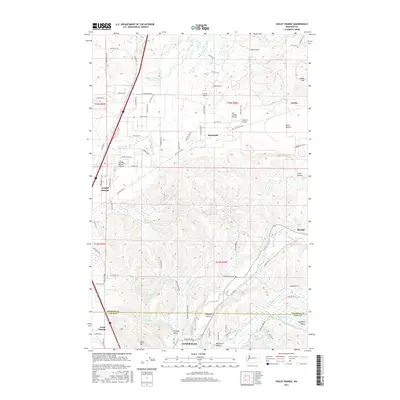 2017 Violet Prairie2017 Print · USGSThe river valleys and open prairies of the Thurston-Lewis county line are shown here in the late twenty-tens. Researchers can trace the rural landscape between Centralia and Tenino, locating specific landmarks like Sorrell Airport, Bucoda, and the Hanaford Valley.
 - 2020 Map of Bucoda, 2020 Print
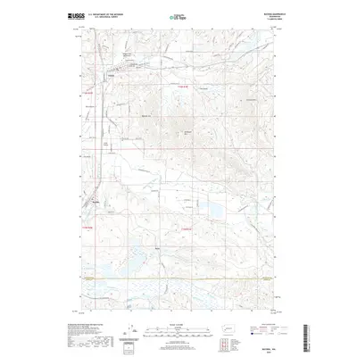 2020 Bucoda2020 Print · USGSThurston County’s prairies and river valleys are captured here in the modern era as the region continues to evolve. Local historians can trace the paths of early pioneers near the Oregon Trail Monument or explore the sites of Bucoda, Tenino, and the rural landscapes around Forest Cem.
 - 2020 Map of Violet Prairie, 2020 Print
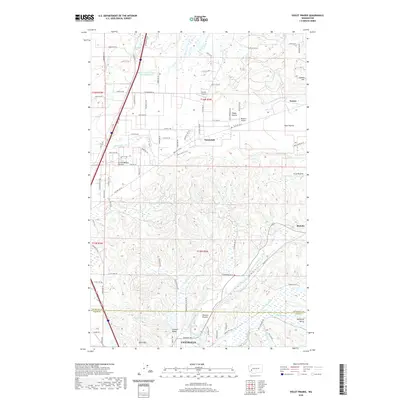 2020 Violet Prairie2020 Print · USGSThe Thurston and Lewis County border comes into focus in this recent survey of the prairies north of Centralia. Researchers can trace the development of rural settlements like Sunnydale and Bucoda alongside landmarks such as Sorrell Airport and the Skookumchuck River.
 - 2023 Map of Violet Prairie, 2023 Print
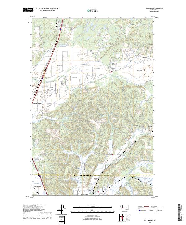 2023 Violet Prairie2023 Print · USGSThe Thurston and Lewis County borderlands come alive in this detailed record of the prairie and river systems north of Centralia. Researchers can trace the legacy of early settlements and aviation at Sunnydale, Bucoda, and Wissler's Airport.
 - 2023 Map of Bucoda, 2023 Print
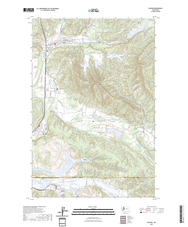 2023 Bucoda2023 Print · USGSThurston County’s southern prairies and industrial valleys are shown here in the 2020s, centered on the communities of Tenino and Bucoda. Researchers can locate Forest Grove Cem and trace the complex water systems of the Hanaford Valley near Tono.
End of results
Showing maps 1-25 of 25
Top cities near Bucoda
- Olympia historical maps
- Lacey historical maps
- Tumwater historical maps
- Centralia historical maps
- Yelm historical maps
- Chehalis historical maps
See more
Frequently asked questions
- What are the different types of historical maps available for Bucoda?
- What is the oldest map of Bucoda?
- Where can I purchase historical maps of Bucoda for my home or office?
- Where can I download high-res historical maps of Bucoda?
- Are there historical topographic maps available for Bucoda?
- Is there historical aerial imagery available for Bucoda?
- Where are historical maps of Bucoda sourced from?