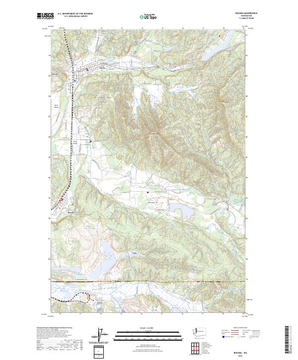
2023 Map of Bucoda
USGS Topo · Published 2023About this map
Tenino and Bucoda anchor this portion of southern Thurston County, illustrating a landscape where prairie and timbered hillsides meet a complex hydrologic network. The settlement of Tono is situated south of Skookumchuck River, near where the terrain transitions into the Hanaford Valley. This valley is characterized by several industrial water bodies including Pond Number Six and Surge Pond, alongside drainage from Snyder Creek and Packwood Creek.
Find a feature on this map
75 named features on this map. Tap any name to fly to it.
Don’t see what you’re looking for? This feature index may not catch every label — zoom into the map to look around manually.
Map Details
Editions of this 2023 Bucoda Map
This is the sole edition of this map. No revisions or reprints were ever made.
Other maps of this area

1916 · Chehalis
USGS Topo · 1:125,000

1940 · Tenino
USGS Topo · 1:62,500

1943 · Willapa
USGS Topo · 1:62,500

1944 · Tenino
USGS Topo · 1:62,500

1944 · Yelm
USGS Topo · 1:62,500

1949 · Yelm
USGS Topo · 1:62,500

1949 · Tenino
USGS Topo · 1:62,500

1953 · Hoquiam
USGS Topo · 1:250,000

1954 · Onalaska
USGS Topo · 1:62,500

1954 · Centralia
USGS Topo · 1:62,500