Old Maps of Paddock, Washington for Metal Detecting
Plan your next treasure hunt with 11 historic maps of Paddock. Find old homesites, ghost towns, trails, and gathering spots that may be lost to time — perfect for identifying promising metal detecting locations.
- Locate forgotten sites: Uncover places like long-lost settlements, abandoned rail lines, or gathering spots.
- Plan better hunts: Use map overlays combined with LiDAR or satellite views to narrow in on historically rich areas.
- Made for detectorists: Thousands of hobbyists use these maps to discover relics, coins, and hidden history.
Use these historic maps to boost your research and find new opportunities beneath the surface of Paddock.
Paddock, WA maps
(11)- 1919 Map of Walla Walla, 1964 Print
 1919 Walla Walla1964 Print · USGSSoutheast Washington at the close of the First World War shows a thriving agricultural hub connected by the Oregon-Washington Railroad. Genealogists can trace family names across dozens of rural sites, from College Place and Dixie to the Kellogg School and Kibler Mill.
 - 1921 Map of Walla Walla
 1921 Walla Walla1921 Print · USGSSoutheastern Washington at the height of its rail-era agricultural expansion reveals a landscape of thriving wheat towns and mountain foothills. Genealogists can trace family footprints across dozens of rural landmarks, from the Whitman Monument to the Kellogg School and the early streets of Walla Walla.2 unique versions available
 - 1953 Map of Walla Walla, 1964 Print
 1953 Walla Walla1964 Print · USGSSoutheast Washington enters the atomic and hydroelectric age in the mid-twentieth century as new dams reshape the desert landscape. You can trace the development of the Hanford Works, identify remote rail stops like Novara Siding, and locate the historic Dry Creek Cem.3 unique versions available
 - 1958 Map of Walla Walla
 1958 Walla Walla1958 Print · USGSThe Tri-Cities and Walla Walla region are captured here during the mid-century expansion of atomic energy and river infrastructure. Genealogists and historians can trace the early layout of Richland (AEC), the rural Hatton and Washtucna settlements, and landmarks like Palouse Falls State Park.
 - 1967 Map of Harsha, 1971 Print
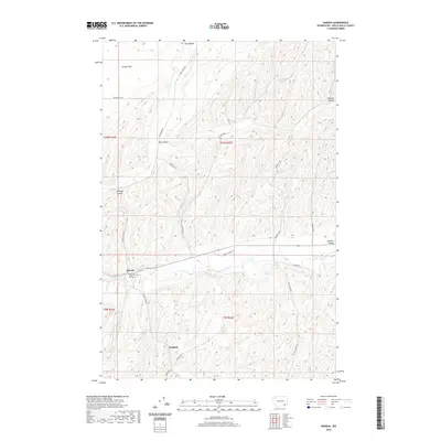
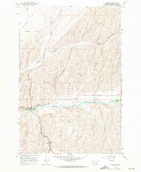 1967 Harsha1971 Print · USGSWalla Walla County agriculture and rail infrastructure are on full display in the late sixties as the Burlington Northern line follows the Touchet River. Researchers can locate the settlement of Harsha, the Paddock station area, and family-named routes like Pettyjohn Road.2 unique versions available
 - 1980 Map of Walla Walla
 1980 Walla Walla1980 Print · USGSThe Walla Walla Valley in the early eighties shows a landscape of deep-rooted agriculture and massive hydroelectric development. Researchers can trace the rail junctions at Wallula Junction, visit the historic Fort Walla Walla, or locate old landmarks like the Mountain View Cem.2 unique versions available
 - 2011 Map of Harsha, 2011 Print
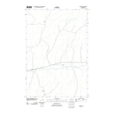 2011 Harsha2011 Print · USGSCovers Paddock, including Harsha, Walla Walla County, and other nearby areas
 - 2013 Map of Harsha, 2013 Print
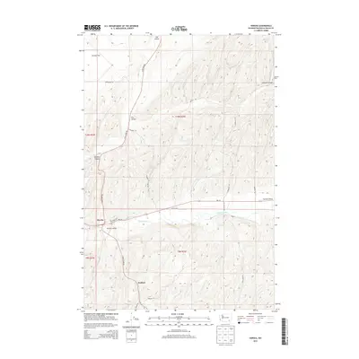 2013 Harsha2013 Print · USGSCovers Paddock, including Harsha, Walla Walla County, and other nearby areas
 - 2017 Map of Harsha, 2017 Print
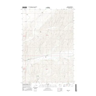 2017 Harsha2017 Print · USGSCovers Paddock, including Harsha, Walla Walla County, and other nearby areas
 - 2020 Map of Harsha, 2020 Print
 2020 Harsha2020 Print · USGSCovers Paddock, including Harsha, Walla Walla County, and other nearby areas
 - 2023 Map of Harsha, 2023 Print
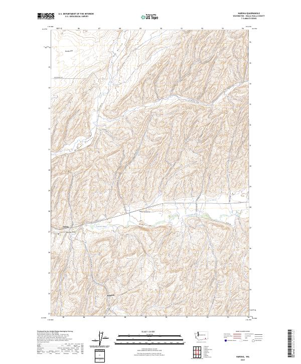 2023 Harsha2023 Print · USGSWalla Walla County is shown here in the 2020s, dominated by the valley of the Touchet River and the rural reaches of Eureka Flat. Trace the small settlements of Harsha and Paddock or the path of Lyon's Ferry Rd.
End of results
Showing maps 1-11 of 11
Top cities near Paddock
Frequently asked questions
- What are the different types of historical maps available for Paddock?
- What is the oldest map of Paddock?
- Where can I purchase historical maps of Paddock for my home or office?
- Where can I download high-res historical maps of Paddock?
- Are there historical topographic maps available for Paddock?
- Is there historical aerial imagery available for Paddock?
- Where are historical maps of Paddock sourced from?