2000s (21st Century) Maps of American River, Washington
Explore 6 historic maps of American River from the 2000s (21st Century). These maps offer a rare glimpse into what life looked like during the 2000s — showing old roads, neighborhoods, homes, and landmarks that have changed or disappeared over time.
Whether you're researching your family's past, planning a metal detecting trip, or studying how American River's landscape evolved across the 2000s, these high-resolution maps are a powerful tool for exploring the history of this region.
- Focus on a specific era: All maps on this page are from the 2000s, giving you a focused view of this time period.
- See what’s changed: Compare century-old streets, trails, and buildings to today's modern landscape using overlays and satellite layers.
- Research with precision: Use these maps for genealogy, historical research, land use analysis, or educational projects.
- View, download, or print: Maps are fully viewable online in high resolution, and can be downloaded or printed for your own records.
Start exploring American River's history through authentic maps from the 2000s. This is your window into the past.
American River, WA maps
(6)- 2000 Map of Old Scab Mountain, 2001 Print
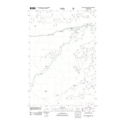
 2000 Old Scab Mountain2001 Print · USGSThe Cascades of Yakima County are documented here as they appeared at the turn of the century, showing a wilderness crisscrossed by fire trails and forest roads. Trace routes up Fifes Ridge or locate backcountry sites like Flat Iron Lake and Indian Flat Campground.
 - 2011 Map of Old Scab Mountain, 2011 Print
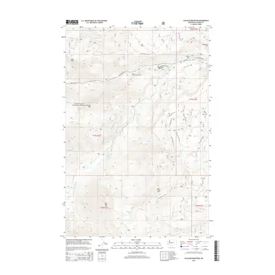
 2011 Old Scab Mountain2011 Print · USGSCovers American River, including Yakima County, United States, and other nearby areas
 - 2014 Map of Old Scab Mountain, 2014 Print
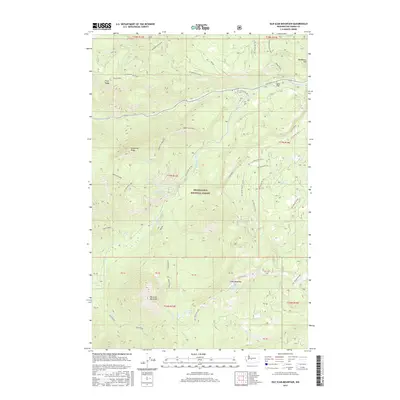
 2014 Old Scab Mountain2014 Print · USGSCovers American River, including Yakima County, United States, and other nearby areas
 - 2017 Map of Old Scab Mountain, 2017 Print
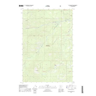
 2017 Old Scab Mountain2017 Print · USGSCovers American River, including Yakima County, United States, and other nearby areas
 - 2020 Map of Old Scab Mountain, 2020 Print
 2020 Old Scab Mountain2020 Print · USGSCovers American River, including Yakima County, United States, and other nearby areas
 - 2023 Map of Old Scab Mountain, 2023 Print
 2023 Old Scab Mountain2023 Print · USGSThe high ridges of Yakima County are preserved in this recent record of the Snoqualmie National Forest and surrounding wilderness. Hikers and historians can trace high-altitude landmarks like Old Scab Mtn and the historic Chinook Pass Highway.
End of results
Showing maps 1-6 of 6
Top cities near American River
Frequently asked questions
- What are the different types of historical maps available for American River?
- What is the oldest map of American River?
- Where can I purchase historical maps of American River for my home or office?
- Where can I download high-res historical maps of American River?
- Are there historical topographic maps available for American River?
- Is there historical aerial imagery available for American River?
- Where are historical maps of American River sourced from?