Old Maps of Nile, Washington for Academic Research
Study the evolution of Nile with 12 high-resolution historic maps. Whether you're teaching, researching, or modeling changes in land use, these maps provide essential visual documentation of urban, environmental, and geographic change.
- Analyze long-term change: Track patterns in development, transportation, and natural features.
- Ideal for environmental or urban studies: Support academic projects with primary historical map data.
- Use in the classroom or lab: Educators and researchers rely on these maps to bring historical context to life.
These maps are a powerful tool for teaching, research, and visualizing how Nile has changed over the decades.
Nile, WA maps
(12)- 1899 Map of Ellensburg, 1957 Print
 1899 Ellensburg1957 Print · USGSCentral Washington at the turn of the century shows a landscape of growing river towns and high ridges. Researchers can trace early railroad expansion along the Northern Pacific RR or locate rural outposts like Tampico, Ahtanum, and Nile.
 - 1901 Map of Ellensburg
 1901 Ellensburg1901 Print · USGSCentral Washington at the turn of the century shows a landscape shaped by river valleys and high ridges. Trace the early Northern Pacific Railway line through Ellensburg and the remote outposts of Nile and Tampico.6 unique versions available
 - 1950 Map of Yakima, 1951 Print
 1950 Yakima1951 Print · USGSThe Yakima Valley and the towering Cascades meet in this mid-century survey of South Central Washington. Genealogists and local historians can trace the irrigation-era growth of Yakima, the historic Fort Simcoe outpost, and the White Swan Mission on the Yakima Indian Reservation.
 - 1958 Map of Yakima, 1964 Print
 1958 Yakima1964 Print · USGSThe Yakima Valley in the late fifties shows a landscape of mountain peaks and irrigated plains at the height of its rail-era development. Researchers can trace the lineage of early settlements through sites like Fort Simcoe, the Wenas Cemetery, and the Yakima Indian Agency School.3 unique versions available
 - 1961 Map of Yakima
 1961 Yakima1961 Print · USGSCentral Washington thrived in the mid-century as an agricultural powerhouse defined by the Yakima River. Trace local roots through Medicine Valley School, Fort Simcoe, and the rail lines of the Northern Pacific RR.
 - 1971 Map of Nile, 1973 Print
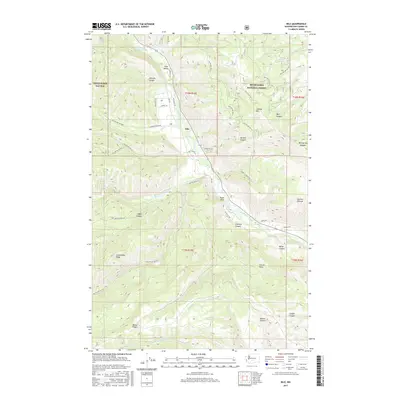
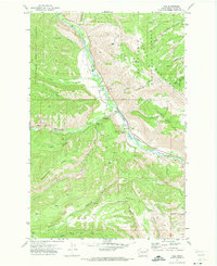 1971 Nile1973 Print · USGSThe Naches River valley in the early seventies shows the rural community of Nile tucked between the peaks of the Snoqualmie National Forest. Researchers can find old mountain landmarks like Cheney Ranch, the Nile Community Ch, and the Rattlesnake Ranger Station.2 unique versions available
 - 2000 Map of Nile, 2001 Print
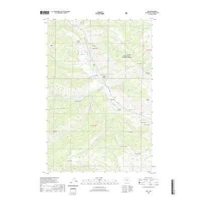
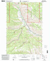 2000 Nile2001 Print · USGSThe Naches River valley in Yakima County is shown at the turn of the millennium as a crossroads of state wildlife management and local ranching. Researchers can trace the layout of the Nile settlement, find the Rattlesnake Ranger Station, and locate the Cheney Ranch among the high ridges.
 - 2011 Map of Nile, 2011 Print
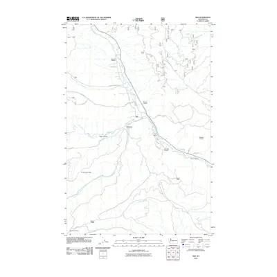 2011 Nile2011 Print · USGSCovers Nile, including Yakima County, United States, and other nearby areas
 - 2014 Map of Nile, 2014 Print
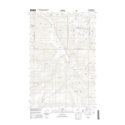 2014 Nile2014 Print · USGSCovers Nile, including Yakima County, United States, and other nearby areas
 - 2017 Map of Nile, 2017 Print
 2017 Nile2017 Print · USGSCovers Nile, including Yakima County, United States, and other nearby areas
 - 2020 Map of Nile, 2020 Print
 2020 Nile2020 Print · USGSCovers Nile, including Yakima County, United States, and other nearby areas
 - 2023 Map of Nile, 2023 Print
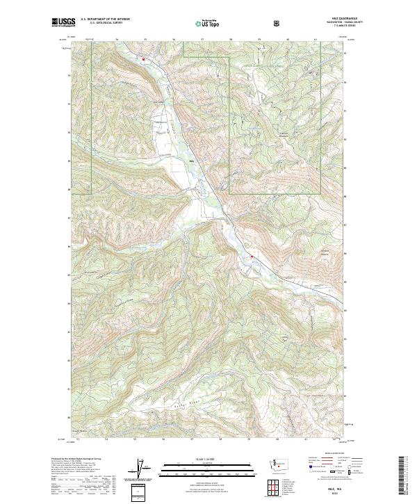 2023 Nile2023 Print · USGSThe community of Nile and the upper Naches River valley are captured here as they appeared in 2023, surrounded by the high ridges of the Yakima backcountry. Researchers can trace local landmarks like Bethel Ridge, Sanford Pasture, and the residential layout along Nile Loop.
End of results
Showing maps 1-12 of 12
Top cities near Nile
Frequently asked questions
- What are the different types of historical maps available for Nile?
- What is the oldest map of Nile?
- Where can I purchase historical maps of Nile for my home or office?
- Where can I download high-res historical maps of Nile?
- Are there historical topographic maps available for Nile?
- Is there historical aerial imagery available for Nile?
- Where are historical maps of Nile sourced from?