Old Maps of Union Gap, Washington for Metal Detecting
Plan your next treasure hunt with 20 historic maps of Union Gap. Find old homesites, ghost towns, trails, and gathering spots that may be lost to time — perfect for identifying promising metal detecting locations.
- Locate forgotten sites: Uncover places like long-lost settlements, abandoned rail lines, or gathering spots.
- Plan better hunts: Use map overlays combined with LiDAR or satellite views to narrow in on historically rich areas.
- Made for detectorists: Thousands of hobbyists use these maps to discover relics, coins, and hidden history.
Use these historic maps to boost your research and find new opportunities beneath the surface of Union Gap.
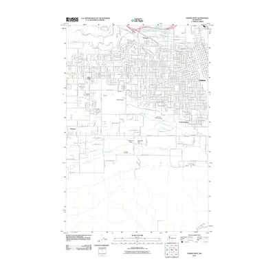
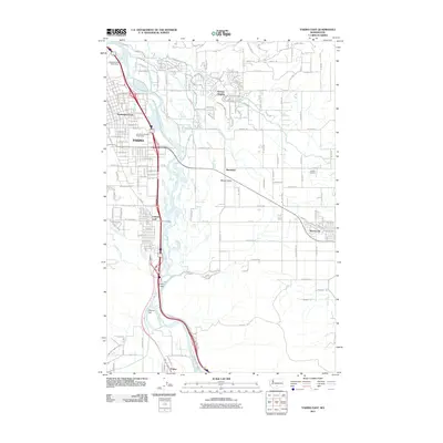
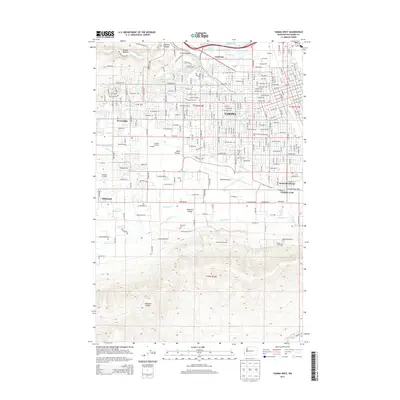
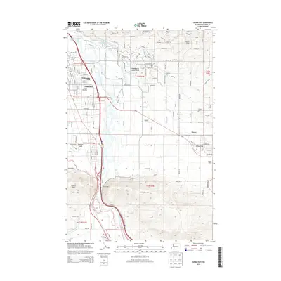
Union Gap, WA maps
(20)- 1899 Map of Ellensburg, 1957 Print
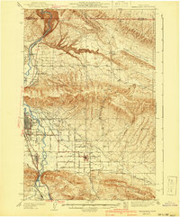
 1899 Ellensburg1957 Print · USGSCentral Washington at the turn of the century shows a landscape of growing river towns and high ridges. Researchers can trace early railroad expansion along the Northern Pacific RR or locate rural outposts like Tampico, Ahtanum, and Nile.
 - 1901 Map of Ellensburg
 1901 Ellensburg1901 Print · USGSCentral Washington at the turn of the century shows a landscape shaped by river valleys and high ridges. Trace the early Northern Pacific Railway line through Ellensburg and the remote outposts of Nile and Tampico.6 unique versions available
 - 1936 Map of Yakima East
 1936 Yakima East1936 Print · USGSYakima and the Moxee Valley are shown here in the mid-1930s as the regional irrigation and rail networks were fully established. Genealogists and local historians can trace family locations near Pease Ranch, Moxee City, and schools like Central Sch.
 - 1941 Map of Yakima East
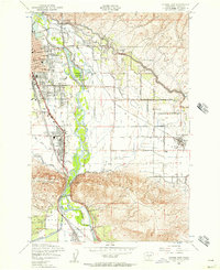
 1941 Yakima East1941 Print · USGSThe Yakima Valley was a hub of irrigation and rail transport in the early 1940s, as intensive canal networks reshaped the landscape. Local historians can trace family homesteads along Beaudry Road and Charon Rd, or locate the First Reformed Ch and the State Fairgrounds.2 unique versions available
 - 1950 Map of Yakima, 1951 Print
 1950 Yakima1951 Print · USGSThe Yakima Valley and the towering Cascades meet in this mid-century survey of South Central Washington. Genealogists and local historians can trace the irrigation-era growth of Yakima, the historic Fort Simcoe outpost, and the White Swan Mission on the Yakima Indian Reservation.
 - 1953 Map of Yakima East, 1957 Print
 1953 Yakima East1957 Print · USGSThe mid-century growth of the Yakima Valley is on full display here, showing the era's bustling rail corridors and expanding irrigation. Genealogists and local historians can locate the Pioneer Cemetery, St Michaels Church, and old school sites like Adams School.3 unique versions available
 - 1953 Map of Yakima East, 1958 Print
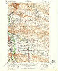 1953 Yakima East1958 Print · USGSThe Yakima Valley in the early fifties shows a landscape of military reservations and expanding irrigation. Trace the growth of Moxee City and Union Gap or locate family roots at Holland Cem and Central School.3 unique versions available
 - 1958 Map of Yakima West, 1960 Print
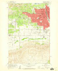 1958 Yakima West1960 Print · USGSYakima entered a period of robust post-war growth during the late fifties, expanding its residential and educational footprint westward. Researchers can trace family-named schools and early landmarks like Yakima Valley Jr College, Tahoma Cem, and the State Fish Hatchery.5 unique versions available
 - 1958 Map of Yakima, 1964 Print
 1958 Yakima1964 Print · USGSThe Yakima Valley in the late fifties shows a landscape of mountain peaks and irrigated plains at the height of its rail-era development. Researchers can trace the lineage of early settlements through sites like Fort Simcoe, the Wenas Cemetery, and the Yakima Indian Agency School.3 unique versions available
 - 1961 Map of Yakima
 1961 Yakima1961 Print · USGSCentral Washington thrived in the mid-century as an agricultural powerhouse defined by the Yakima River. Trace local roots through Medicine Valley School, Fort Simcoe, and the rail lines of the Northern Pacific RR.
 - 2011 Map of Yakima West, 2011 Print
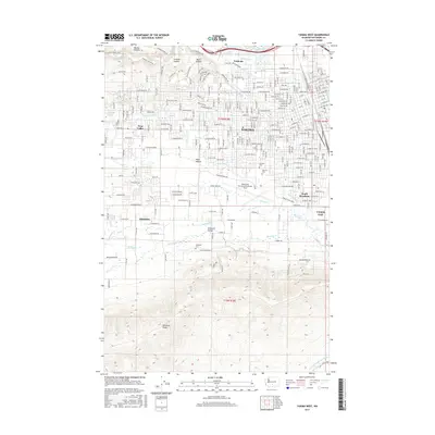
 2011 Yakima West2011 Print · USGSCovers Union Gap, including Yakima, Selah, and other nearby areas
 - 2011 Map of Yakima East, 2011 Print
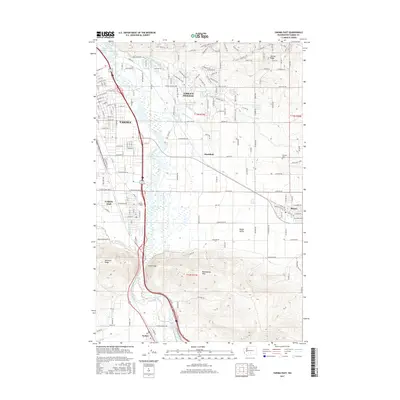
 2011 Yakima East2011 Print · USGSCovers Union Gap, including Yakima, Moxee, and other nearby areas
 - 2013 Map of Yakima West, 2013 Print
 2013 Yakima West2013 Print · USGSCovers Union Gap, including Yakima, Selah, and other nearby areas
 - 2013 Map of Yakima East, 2013 Print
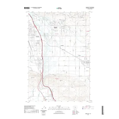
 2013 Yakima East2013 Print · USGSCovers Union Gap, including Yakima, Moxee, and other nearby areas
 - 2017 Map of Yakima West, 2017 Print
 2017 Yakima West2017 Print · USGSCovers Union Gap, including Yakima, Selah, and other nearby areas
 - 2017 Map of Yakima East, 2017 Print
 2017 Yakima East2017 Print · USGSCovers Union Gap, including Yakima, Moxee, and other nearby areas
 - 2020 Map of Yakima East, 2020 Print
 2020 Yakima East2020 Print · USGSCovers Union Gap, including Yakima, Moxee, and other nearby areas
 - 2020 Map of Yakima West, 2020 Print
 2020 Yakima West2020 Print · USGSCovers Union Gap, including Yakima, Selah, and other nearby areas
 - 2023 Map of Yakima West, 2023 Print
 2023 Yakima West2023 Print · USGSThe western reaches of Yakima and the Ahtanum Valley are mapped here in the early twenty-first century, showing the intersection of urban growth and irrigation history. Researchers can trace the paths of the Ahtanum Canal and find local landmarks like Tahoma Cem and the Yakima County Courthouse.
 - 2023 Map of Yakima East, 2023 Print
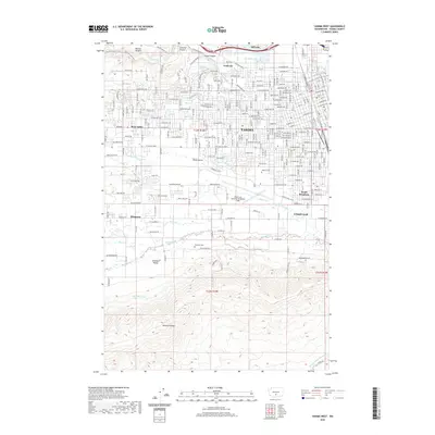
 2023 Yakima East2023 Print · USGSThe Yakima area is shown here in the contemporary era as a complex hub of irrigation and riverfront industry. Researchers can trace historical burial sites at Pioneer Cem or follow the path of the Union Gap Canal and Hubbard Ditch.
End of results
Showing maps 1-20 of 20
Top cities near Union Gap
- Yakima historical maps
- Toppenish historical maps
- Selah historical maps
- Wapato historical maps
- Moxee historical maps
- Ahtanum historical maps
See more
Top neighborhoods of Union Gap
Frequently asked questions
- What are the different types of historical maps available for Union Gap?
- What is the oldest map of Union Gap?
- Where can I purchase historical maps of Union Gap for my home or office?
- Where can I download high-res historical maps of Union Gap?
- Are there historical topographic maps available for Union Gap?
- Is there historical aerial imagery available for Union Gap?
- Where are historical maps of Union Gap sourced from?