2000s (21st Century) Maps of Philippi, West Virginia
Explore 15 historic maps of Philippi from the 2000s (21st Century). These maps offer a rare glimpse into what life looked like during the 2000s — showing old roads, neighborhoods, homes, and landmarks that have changed or disappeared over time.
Whether you're researching your family's past, planning a metal detecting trip, or studying how Philippi's landscape evolved across the 2000s, these high-resolution maps are a powerful tool for exploring the history of this region.
- Focus on a specific era: All maps on this page are from the 2000s, giving you a focused view of this time period.
- See what’s changed: Compare century-old streets, trails, and buildings to today's modern landscape using overlays and satellite layers.
- Research with precision: Use these maps for genealogy, historical research, land use analysis, or educational projects.
- View, download, or print: Maps are fully viewable online in high resolution, and can be downloaded or printed for your own records.
Start exploring Philippi's history through authentic maps from the 2000s. This is your window into the past.
Philippi, WV maps
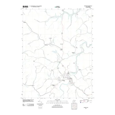
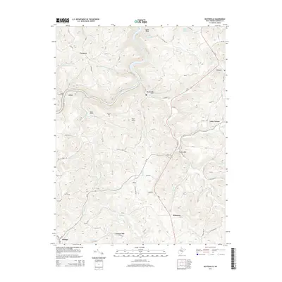
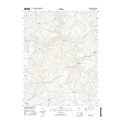
(15)- 2011 Map of Nestorville, 2011 Print
 2011 Nestorville2011 Print · USGSCovers Philippi, including Moatsville, Tacy, and other nearby areas
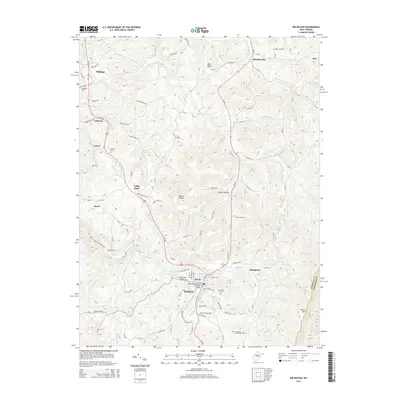
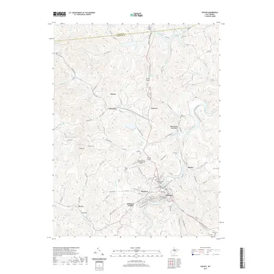
 - 2011 Map of Belington, 2011 Print
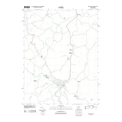 2011 Belington2011 Print · USGSCovers Philippi, including Corley, Jones, and other nearby areas
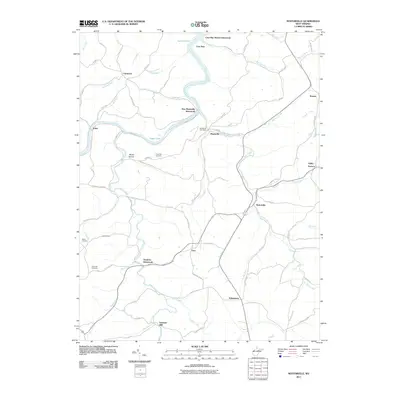
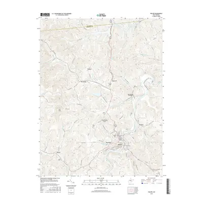
 - 2011 Map of Philippi, 2011 Print
 2011 Philippi2011 Print · USGSCovers Philippi, including Hopewell, Galloway, and other nearby areas
 - 2014 Map of Philippi, 2014 Print
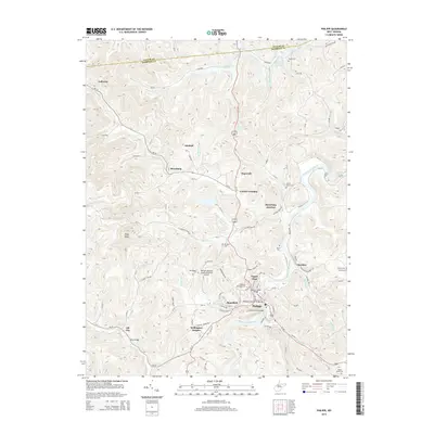 2014 Philippi2014 Print · USGSCovers Philippi, including Hopewell, Galloway, and other nearby areas
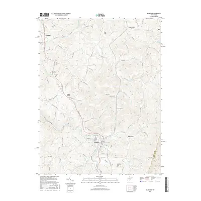
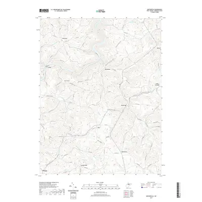
 - 2014 Map of Nestorville, 2014 Print
 2014 Nestorville2014 Print · USGSCovers Philippi, including Moatsville, Tacy, and other nearby areas
 - 2014 Map of Belington, 2014 Print
 2014 Belington2014 Print · USGSCovers Philippi, including Corley, Jones, and other nearby areas
 - 2016 Map of Philippi, 2016 Print
 2016 Philippi2016 Print · USGSCovers Philippi, including Hopewell, Galloway, and other nearby areas
 - 2016 Map of Belington, 2016 Print
 2016 Belington2016 Print · USGSCovers Philippi, including Corley, Jones, and other nearby areas
 - 2016 Map of Nestorville, 2016 Print
 2016 Nestorville2016 Print · USGSCovers Philippi, including Moatsville, Tacy, and other nearby areas
 - 2019 Map of Belington, 2019 Print
 2019 Belington2019 Print · USGSCovers Philippi, including Corley, Jones, and other nearby areas
 - 2019 Map of Nestorville, 2019 Print
 2019 Nestorville2019 Print · USGSCovers Philippi, including Moatsville, Tacy, and other nearby areas
 - 2019 Map of Philippi, 2019 Print
 2019 Philippi2019 Print · USGSCovers Philippi, including Hopewell, Galloway, and other nearby areas
 - 2023 Map of Nestorville, 2023 Print
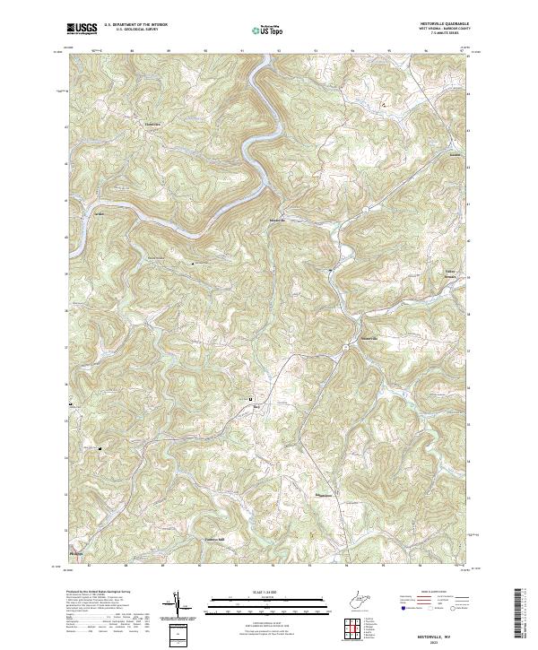 2023 Nestorville2023 Print · USGSBarbour County’s river valleys and ridgelines are documented here in the early twenty-first century, showing the enduring structure of its rural communities. Researchers can trace historic homesteads and sites like Vannoys Mill, Valley Furnace, and the Tacy Cem.
 - 2023 Map of Belington, 2023 Print
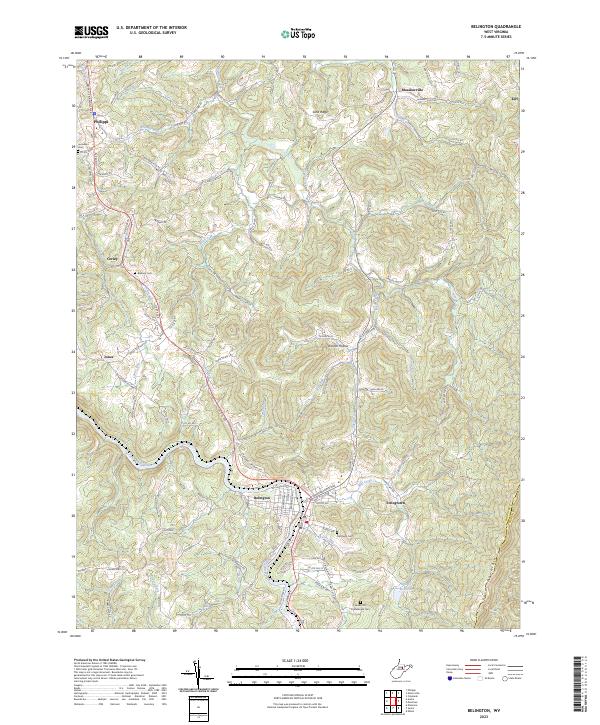 2023 Belington2023 Print · USGSBelington and the Tygart Valley River area are captured in this recent survey, showcasing the region's complex mountain topography and deep local heritage. Researchers can locate specific sites like Joseph Chapel, Laurel Hill Confederate Cem, and the small community of Meadowville.
 - 2023 Map of Philippi, 2023 Print
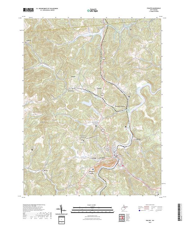 2023 Philippi2023 Print · USGSThe Tygart Valley River valley comes to life in this modern survey of Barbour County. Genealogists can trace family roots through numerous local landmarks, from the Old Quaker Cem to the historic grounds of Alderson Broaddus University.
End of results
Showing maps 1-15 of 15
Top cities near Philippi
- Clarksburg historical maps
- Bridgeport historical maps
- Elkins historical maps
- Buckhannon historical maps
- Grafton historical maps
- Junior historical maps
See more
Top neighborhoods of Philippi
Frequently asked questions
- What are the different types of historical maps available for Philippi?
- What is the oldest map of Philippi?
- Where can I purchase historical maps of Philippi for my home or office?
- Where can I download high-res historical maps of Philippi?
- Are there historical topographic maps available for Philippi?
- Is there historical aerial imagery available for Philippi?
- Where are historical maps of Philippi sourced from?