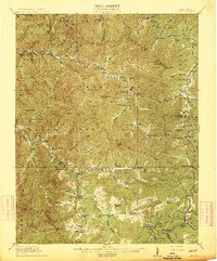
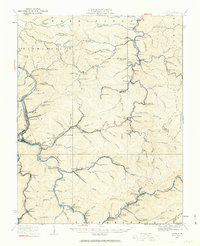
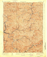
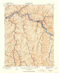
Old Maps of Boone County, West Virginia
Explore 71 old maps of Boone County, spanning from 1891 to today. These high-resolution historic maps reveal how streets, neighborhoods, landmarks, and natural features evolved over time — perfect for genealogy, metal detecting, research, and local history exploration.
What you can do with these maps:
- See how Boone County changed over time: Compare historical maps to modern-day views to trace roads, homesites, rail lines & more.
- View detailed metadata: Each map includes creators, publishers, year, scale, and archive source.
- Overlay maps with satellite & LiDAR: Visualize the past alongside modern tools to explore terrain & human change.
- Trusted historical sources: Maps sourced from the USGS, Library of Congress, and other archives.
- Access maps your way: View online, download high-res files, or order prints for personal or research use.
Start exploring old maps of Boone County to uncover forgotten places, hidden landmarks, and the deep history beneath your feet.
Boone County, WV maps
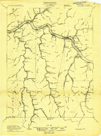
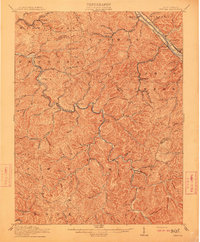
(71)- 1891 Map of Oceana
 1891 Oceana1891 Print · USGSCovers Boone County, including Mallory, Logan, and other nearby areas
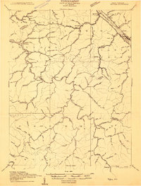
 - 1891 Map of Raleigh
 1891 Raleigh1891 Print · USGSCovers Boone County, including Beckley, Oak Hill, and other nearby areas
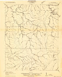
 - 1893 Map of Oceana
 1893 Oceana1893 Print · USGSCovers Boone County, including Mallory, Logan, and other nearby areas
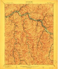
 - 1897 Map of Kanawha Falls
 1897 Kanawha Falls1897 Print · USGSCovers Boone County, including Oak Hill, Fayetteville, and other nearby areas
 - 1897 Map of Raleigh
 1897 Raleigh1897 Print · USGSCovers Boone County, including Beckley, Oak Hill, and other nearby areas
 - 1898 Map of Oceana
 1898 Oceana1898 Print · USGSCovers Boone County, including Mallory, Logan, and other nearby areas4 unique versions available
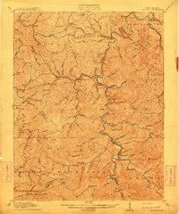
 - 1899 Map of Charleston
 1899 Charleston1899 Print · USGSCovers Boone County, including Charleston, Teays Valley, and other nearby areas6 unique versions available
 - 1900 Map of Kanawha Falls
 1900 Kanawha Falls1900 Print · USGSCovers Boone County, including Oak Hill, Fayetteville, and other nearby areas
 - 1901 Map of Kanawha Falls
 1901 Kanawha Falls1901 Print · USGSCovers Boone County, including Oak Hill, Fayetteville, and other nearby areas3 unique versions available
 - 1902 Map of Raleigh
 1902 Raleigh1902 Print · USGSCovers Boone County, including Beckley, Oak Hill, and other nearby areas3 unique versions available
 - 1908 Map of Montgomery
 1908 Montgomery1908 Print · USGSCovers Boone County, including Montgomery, East Bank, and other nearby areas
 - 1909 Map of Peytona
 1909 Peytona1909 Print · USGSCovers Boone County, including Marmet, Chesapeake, and other nearby areas
 - 1910 Map of Bald Knob
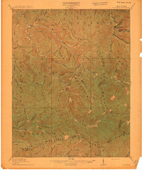
 1910 Bald Knob1910 Print · USGSCovers Boone County, including Whitesville, Amherstdale-Robinette, and other nearby areas2 unique versions available
 - 1910 Map of Montgomery
 1910 Montgomery1910 Print · USGSCovers Boone County, including Montgomery, East Bank, and other nearby areas3 unique versions available
 - 1911 Map of Marshes
 1911 Marshes1911 Print · USGSCovers Boone County, including Pax, Mossy, and other nearby areas
 - 1911 Map of Peytona
 1911 Peytona1911 Print · USGSCovers Boone County, including Marmet, Chesapeake, and other nearby areas3 unique versions available
 - 1911 Map of Madison
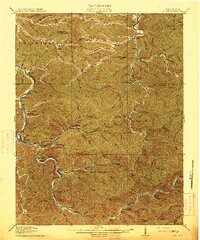
 1911 Madison1911 Print · USGSCovers Boone County, including Madison, Danville, and other nearby areas2 unique versions available
 - 1912 Map of Bald Knob
 1912 Bald Knob1912 Print · USGSCovers Boone County, including Whitesville, Amherstdale-Robinette, and other nearby areas3 unique versions available
 - 1913 Map of Logan
 1913 Logan1913 Print · USGSCovers Boone County, including Logan, Man, and other nearby areas3 unique versions available
 - 1914 Map of Eccles
 1914 Eccles1914 Print · USGSCovers Boone County, including Pax, Mossy, and other nearby areas2 unique versions available
 - 1926 Map of Logan, 1963 Print
 1926 Logan1963 Print · USGSCovers Boone County, including Logan, Man, and other nearby areas
 - 1928 Map of Logan
 1928 Logan1928 Print · USGSCovers Boone County, including Logan, Man, and other nearby areas3 unique versions available
 - 1928 Map of Bald Knob, 1956 Print
 1928 Bald Knob1956 Print · USGSCovers Boone County, including Whitesville, Amherstdale-Robinette, and other nearby areas
 - 1928 Map of Montgomery, 1963 Print
 1928 Montgomery1963 Print · USGSCovers Boone County, including Montgomery, East Bank, and other nearby areas
 - 1929 Map of Eccles, 1956 Print
 1929 Eccles1956 Print · USGSCovers Boone County, including Pax, Mossy, and other nearby areas
Showing maps 1-25 of 71
Top cities of Boone County
Frequently asked questions
- What are the different types of historical maps available for Boone County?
- What is the oldest map of Boone County?
- Where can I purchase historical maps of Boone County for my home or office?
- Where can I download high-res historical maps of Boone County?
- Are there historical topographic maps available for Boone County?
- Is there historical aerial imagery available for Boone County?
- Where are historical maps of Boone County sourced from?