Old Maps of Braxton County, West Virginia
Explore 44 old maps of Braxton County, spanning from 1893 to today. These high-resolution historic maps reveal how streets, neighborhoods, landmarks, and natural features evolved over time — perfect for genealogy, metal detecting, research, and local history exploration.
What you can do with these maps:
- See how Braxton County changed over time: Compare historical maps to modern-day views to trace roads, homesites, rail lines & more.
- View detailed metadata: Each map includes creators, publishers, year, scale, and archive source.
- Overlay maps with satellite & LiDAR: Visualize the past alongside modern tools to explore terrain & human change.
- Trusted historical sources: Maps sourced from the USGS, Library of Congress, and other archives.
- Access maps your way: View online, download high-res files, or order prints for personal or research use.
Start exploring old maps of Braxton County to uncover forgotten places, hidden landmarks, and the deep history beneath your feet.
Braxton County, WV maps
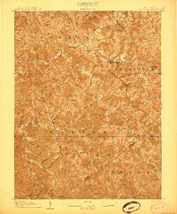
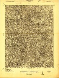
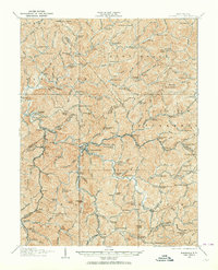
(44)- 1893 Map of Buckhannon
 1893 Buckhannon1893 Print · USGSCovers Braxton County, including Buckhannon, Valley Head, and other nearby areas
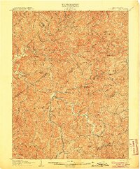
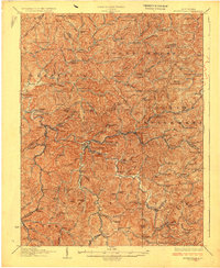
 - 1893 Map of Sutton
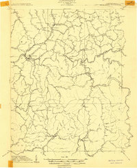
 1893 Sutton1893 Print · USGSCovers Braxton County, including Glenville, Sutton, and other nearby areas3 unique versions available
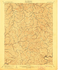
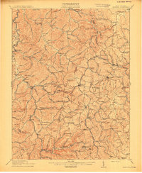
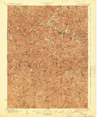
 - 1896 Map of Buckhannon, 1902 Print
 1896 Buckhannon1902 Print · USGSCovers Braxton County, including Buckhannon, Valley Head, and other nearby areas3 unique versions available
 - 1897 Map of Buckhannon
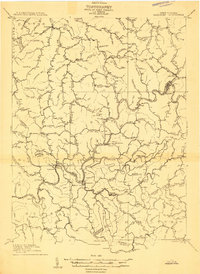
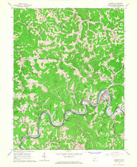
 1897 Buckhannon1897 Print · USGSCovers Braxton County, including Buckhannon, Valley Head, and other nearby areas
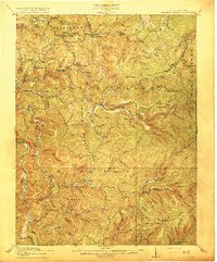
 - 1906 Map of Glenville
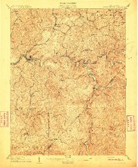
 1906 Glenville1906 Print · USGSCovers Braxton County, including Glenville, Sand Fork, and other nearby areas2 unique versions available
 - 1906 Map of Burnsville
 1906 Burnsville1906 Print · USGSCovers Braxton County, including Burnsville, Sand Fork, and other nearby areas2 unique versions available
 - 1906 Map of Otter, 1961 Print
 1906 Otter1961 Print · USGSCovers Braxton County, including Elana, Douglas, and other nearby areas
 - 1907 Map of Otter
 1907 Otter1907 Print · USGSCovers Braxton County, including Elana, Douglas, and other nearby areas3 unique versions available
 - 1908 Map of Gassaway
 1908 Gassaway1908 Print · USGSCovers Braxton County, including Gassaway, Gip, and other nearby areas
 - 1908 Map of Sutton
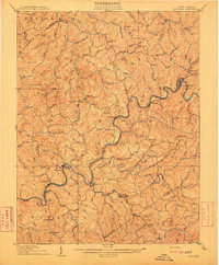
 1908 Sutton1908 Print · USGSCovers Braxton County, including Sutton, Flatwoods, and other nearby areas2 unique versions available
 - 1910 Map of Sutton Special
 1910 Sutton Special1910 Print · USGSCovers Braxton County, including Sutton, Flatwoods, and other nearby areas3 unique versions available
 - 1910 Map of Gassaway
 1910 Gassaway1910 Print · USGSCovers Braxton County, including Gassaway, Gip, and other nearby areas3 unique versions available
 - 1912 Map of Crawford
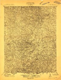 1912 Crawford1912 Print · USGSCovers Braxton County, including Buckhannon, Gould, and other nearby areas2 unique versions available
 - 1913 Map of Hacker Valley
 1913 Hacker Valley1913 Print · USGSCovers Braxton County, including Vernon, Big Run, and other nearby areas2 unique versions available
 - 1914 Map of Crawford
 1914 Crawford1914 Print · USGSCovers Braxton County, including Buckhannon, Gould, and other nearby areas3 unique versions available
 - 1915 Map of Hacker Valley
 1915 Hacker Valley1915 Print · USGSCovers Braxton County, including Vernon, Big Run, and other nearby areas4 unique versions available
 - 1925 Map of Glenville, 1962 Print
 1925 Glenville1962 Print · USGSCovers Braxton County, including Glenville, Sand Fork, and other nearby areas
 - 1925 Map of Burnsville, 1964 Print
 1925 Burnsville1964 Print · USGSCovers Braxton County, including Burnsville, Sand Fork, and other nearby areas
 - 1927 Map of Burnsville
 1927 Burnsville1927 Print · USGSCovers Braxton County, including Burnsville, Sand Fork, and other nearby areas3 unique versions available
 - 1928 Map of Glenville
 1928 Glenville1928 Print · USGSCovers Braxton County, including Glenville, Sand Fork, and other nearby areas2 unique versions available
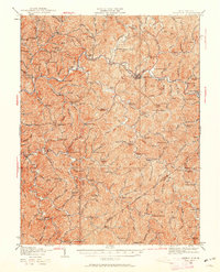
 - 1954 Map of Charleston
 1954 Charleston1954 Print · USGSCovers Braxton County, including Charleston, Teays Valley, and other nearby areas
 - 1957 Map of Charleston, 1966 Print
 1957 Charleston1966 Print · USGSCovers Braxton County, including Charleston, Teays Valley, and other nearby areas3 unique versions available
 - 1958 Map of Charleston
 1958 Charleston1958 Print · USGSCovers Braxton County, including Charleston, Teays Valley, and other nearby areas
 - 1961 Map of Charleston
 1961 Charleston1961 Print · USGSCovers Braxton County, including Charleston, Teays Valley, and other nearby areas
 - 1965 Map of Gassaway, 1967 Print
 1965 Gassaway1967 Print · USGSCovers Braxton County, including Gassaway, Belfont, and other nearby areas2 unique versions available
Showing maps 1-25 of 44
Top cities of Braxton County
Frequently asked questions
- What are the different types of historical maps available for Braxton County?
- What is the oldest map of Braxton County?
- Where can I purchase historical maps of Braxton County for my home or office?
- Where can I download high-res historical maps of Braxton County?
- Are there historical topographic maps available for Braxton County?
- Is there historical aerial imagery available for Braxton County?
- Where are historical maps of Braxton County sourced from?