Old Maps of Follansbee District, West Virginia for Metal Detecting
Plan your next treasure hunt with 26 historic maps of Follansbee District. Find old homesites, ghost towns, trails, and gathering spots that may be lost to time — perfect for identifying promising metal detecting locations.
- Locate forgotten sites: Uncover places like long-lost settlements, abandoned rail lines, or gathering spots.
- Plan better hunts: Use map overlays combined with LiDAR or satellite views to narrow in on historically rich areas.
- Made for detectorists: Thousands of hobbyists use these maps to discover relics, coins, and hidden history.
Use these historic maps to boost your research and find new opportunities beneath the surface of Follansbee District.
Follansbee District, WV maps
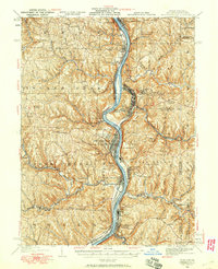
(26)- 1902 Map of Wheeling
 1902 Wheeling1902 Print · USGSThe Ohio River valley at the start of the 1900s was a powerhouse of rail and river industry across West Virginia, Ohio, and Pennsylvania. Genealogists can trace family roots in early industrial hubs like Martins Ferry, locate historic landmarks like the S Bridge, or find riverfront settlements such as Beach Bottom and Yorkville.7 unique versions available
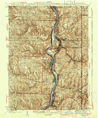
 - 1904 Map of Steubenville
 1904 Steubenville1904 Print · USGSThe industrial heart of the Ohio River Valley comes to life in this early 1900s survey of the tri-state border region. Genealogists and historians can trace the early footprints of Steubenville, the rail junctions at Mingo Junction, and river crossings like Middle Ferry.5 unique versions available
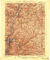
 - 1935 Map of Wheeling, 1957 Print
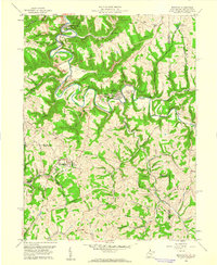
 1935 Wheeling1957 Print · USGSThe industrial Ohio River valley is captured here in the mid-thirties, showing the complex rail and river networks of the tri-state area. Genealogists can trace family footprints across dozens of rural schools like Wells Sch and local landmarks such as Oglebay Park or the Mt Union Ch.
 - 1935 Map of Steubenville, 1958 Print
 1935 Steubenville1958 Print · USGSThe industrial heart of the Ohio River valley comes to life in this mid-century survey of the Ohio, West Virginia, and Pennsylvania borders. Genealogists and historians can trace the early footprints of Weirton, Steubenville, and smaller stops like Zalia and Reeds Mills.
 - 1942 Map of Wheeling
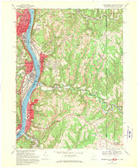
 1942 Wheeling1942 Print · USGSThe Northern Panhandle and Ohio Valley are shown at their industrial peak during the mid-forties, spanning three states. Researchers can trace the riverfront rail networks and rural school districts like Hammond Sch, plus regional landmarks such as Oglebay Park and the Teachers College at West Liberty.2 unique versions available
 - 1942 Map of Steubenville
 1942 Steubenville1942 Print · USGSThe industrial corridor of the upper Ohio River comes to life here during the early 1940s. Genealogists can trace family roots through the streets of Steubenville and Weirton, or locate rural landmarks like Jefferson Sch and New Alexandria Sta.2 unique versions available
 - 1951 Map of Canton
 1951 Canton1951 Print · USGSThe industrial heartland of Ohio and Pennsylvania reached its mid-century peak during this era of heavy rail and river transit. Genealogists and historians can trace the development of steel towns like Aliquippa and Weirton alongside the Ohio River and major lines of the Pennsylvania RR.
 - 1953 Map of Canton
 1953 Canton1953 Print · USGSThe industrial heartland of Ohio and Pennsylvania is captured at its mid-century peak in this detailed regional survey. Genealogists and historians can trace the vast rail networks of the Pennsylvania RR and find local landmarks like Nimisila Reservoir and Tappan Reservoir.
 - 1957 Map of Canton, 1971 Print
 1957 Canton1971 Print · USGSThe industrial heartland of eastern Ohio and western Pennsylvania comes alive in this mid-century survey of the Ohio River Valley. Trace the heritage of rail and river commerce through Pittsburgh, the massive steel towns along the Ohio River, and major junctions on the Pennsylvania RR.3 unique versions available
 - 1958 Map of Steubenville East, 1959 Print
 1958 Steubenville East1959 Print · USGSSteubenville and the Ohio River valley are shown in detail during the late fifties as industrial growth climbed the surrounding bluffs. Researchers can trace local landmarks like the College of Steubenville, Mingo Cem, and the rail lines through Colliers.2 unique versions available
 - 1959 Map of Bethany, 1961 Print
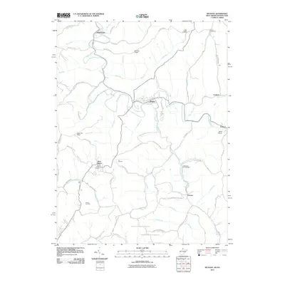
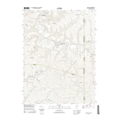
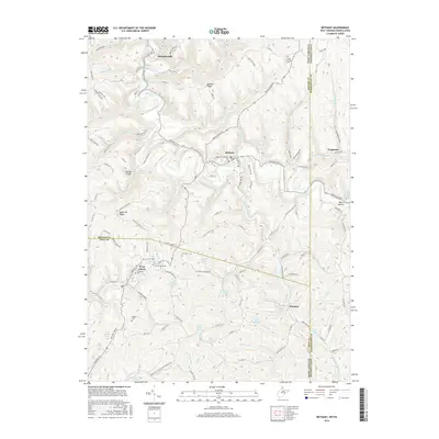
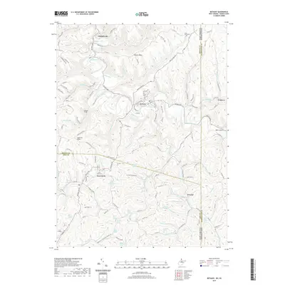
 1959 Bethany1961 Print · USGSIn the late fifties, the northern panhandle of West Virginia remained a landscape of steep ridges, coal mines, and historic college towns. Genealogists and researchers can trace family landmarks like the Alexander Campbell Mansion, Morgan Cem, and Stone Chapel Ch.3 unique versions available
 - 1962 Map of Canton
 1962 Canton1962 Print · USGSThe industrial heartland of Eastern Ohio and Western Pennsylvania thrives in the early sixties as steel mills and rail lines dominate the river valleys. Genealogists and historians can trace local landmarks like McKinley National Memorial, Malone College, and industrial sites such as Republic Steel Corp.2 unique versions available
 - 1968 Map of Steubenville East, 1970 Print
 1968 Steubenville East1970 Print · USGSThe Ohio River valley was a bustling hub of industry and transit in the late sixties, where West Virginia and Ohio river towns met. Genealogists can trace family footprints through sites like St Johns Cem, the Lower Buffalo Ch, and Mingo Junction.3 unique versions available
 - 1986 Map of Pittsburgh West
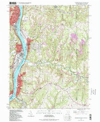
 1986 Pittsburgh West1986 Print · USGSThe Tri-State region's coal and rail corridors are captured in the mid-eighties as industry and aviation expanded. Trace the legacy of extraction at Nelms Mine No 1, locate Short Creek PO, or follow the Chessie System tracks along the Ohio River.3 unique versions available
 - 1997 Map of Steubenville East, 1999 Print
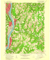
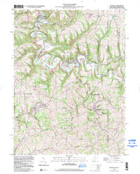
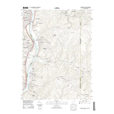
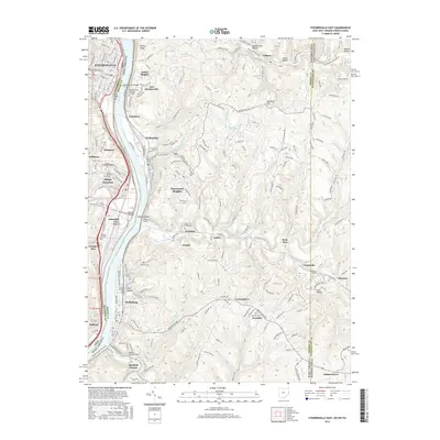
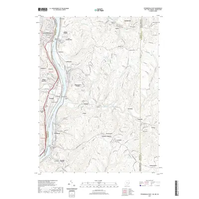
 1997 Steubenville East1999 Print · USGSThe industrial Ohio River valley is captured here in the late twentieth century, showing the dense riverside settlements of Steubenville and Follansbee. Researchers can trace local genealogy and land use through numerous hillside burial grounds like Oak Grove Cem and Cross Creek Cem.
 - 1997 Map of Bethany, 2000 Print
 1997 Bethany2000 Print · USGSThe West Virginia panhandle near the Pennsylvania line is home to storied campuses and deep-seated rural traditions. Researchers can find prominent landmarks like Bethany College, the historic Alexander Campbell Mansion, and the Lower Buffalo Cem.
 - 2010 Map of Steubenville East, 2010 Print
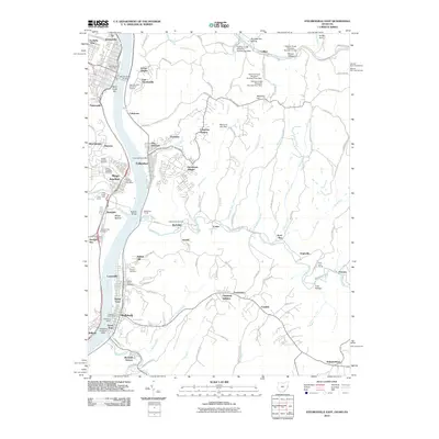 2010 Steubenville East2010 Print · USGSCovers Follansbee District, including Weirton, Steubenville, and other nearby areas
 - 2010 Map of Bethany, 2010 Print
 2010 Bethany2010 Print · USGSCovers Follansbee District, including Independence Township, West Liberty, and other nearby areas
 - 2013 Map of Steubenville East, 2013 Print
 2013 Steubenville East2013 Print · USGSCovers Follansbee District, including Weirton, Steubenville, and other nearby areas
 - 2014 Map of Bethany, 2014 Print
 2014 Bethany2014 Print · USGSCovers Follansbee District, including Independence Township, West Liberty, and other nearby areas
 - 2016 Map of Bethany, 2016 Print
 2016 Bethany2016 Print · USGSCovers Follansbee District, including Independence Township, West Liberty, and other nearby areas
 - 2016 Map of Steubenville East, 2016 Print
 2016 Steubenville East2016 Print · USGSCovers Follansbee District, including Weirton, Steubenville, and other nearby areas
 - 2019 Map of Bethany, 2019 Print
 2019 Bethany2019 Print · USGSCovers Follansbee District, including Independence Township, West Liberty, and other nearby areas
 - 2019 Map of Steubenville East, 2019 Print
 2019 Steubenville East2019 Print · USGSCovers Follansbee District, including Weirton, Steubenville, and other nearby areas
 - 2023 Map of Bethany, 2023 Print
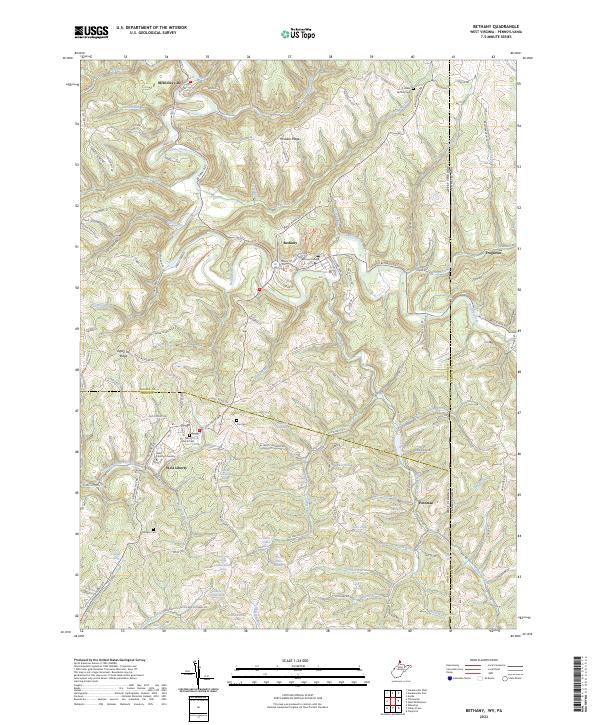 2023 Bethany2023 Print · USGSThe Northern Panhandle's academic and rural heritage is on display here during the early twenty-first century. Genealogists and local historians can locate family landmarks like Cox Cem and Morgan Cem or trace the early footprints of Bethany College and West Liberty University.
Showing maps 1-25 of 26
Top cities near Follansbee District
- Wheeling historical maps
- Weirton historical maps
- Steubenville historical maps
- Martins Ferry historical maps
- Toronto historical maps
- Wintersville historical maps
See more
Top neighborhoods of Follansbee District
- Rabbit Hill historical maps
- McKinleyville historical maps
- Arnold historical maps
- Hooverson Heights historical maps
- Archer Heights historical maps
- Chapman Addition historical maps
See more
Frequently asked questions
- What are the different types of historical maps available for Follansbee District?
- What is the oldest map of Follansbee District?
- Where can I purchase historical maps of Follansbee District for my home or office?
- Where can I download high-res historical maps of Follansbee District?
- Are there historical topographic maps available for Follansbee District?
- Is there historical aerial imagery available for Follansbee District?
- Where are historical maps of Follansbee District sourced from?