2010s Maps of Cabell County, West Virginia
Explore 56 historic maps of Cabell County from the 2010s. These maps offer a rare glimpse into what life looked like during the 2010s — showing old roads, neighborhoods, homes, and landmarks that have changed or disappeared over time.
Whether you're researching your family's past, planning a metal detecting trip, or studying how Cabell County's landscape evolved across the 2010s, these high-resolution maps are a powerful tool for exploring the history of this region.
- Focus on a specific era: All maps on this page are from the 2010s, giving you a focused view of this time period.
- See what’s changed: Compare century-old streets, trails, and buildings to today's modern landscape using overlays and satellite layers.
- Research with precision: Use these maps for genealogy, historical research, land use analysis, or educational projects.
- View, download, or print: Maps are fully viewable online in high resolution, and can be downloaded or printed for your own records.
Start exploring Cabell County's history through authentic maps from the 2010s. This is your window into the past.
Cabell County, WV maps
(56)- 2011 Map of Hurricane, 2011 Print
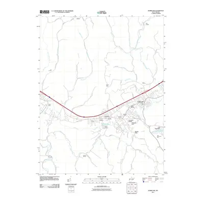 2011 Hurricane2011 Print · USGSHurricane and the Teays Valley corridor are shown here in the early twenty-first century as suburban growth spreads along the historic turnpike. Genealogists can trace family plots at Lundsford Cemetery or Zoar Cemetery, while geographic landmarks like Signal Knob and Lake Washington define the local topography.
 - 2011 Map of Winslow, 2011 Print
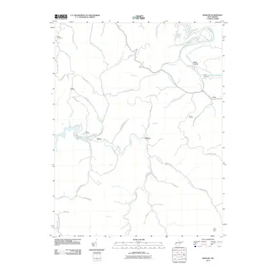 2011 Winslow2011 Print · USGSCabell County is shown in detail during the early twenty-first century, featuring the winding Guyandotte River and the rural communities of the hinterland. Genealogists can locate several family burial grounds like Wallace Cemetery or the historic Camp Dekanawida.
 - 2011 Map of Milton, 2011 Print
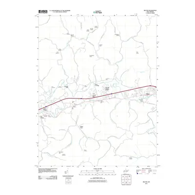 2011 Milton2011 Print · USGSMilton and the Mud River valley are shown in the early twenty-first century as a mix of river-bottom communities and highland hollows. Researchers can locate family landmarks like Love Cemetery and the Mud River Covered Bridge, or trace the historical James River Tpke.
 - 2011 Map of Branchland, 2011 Print
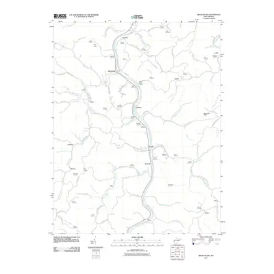 2011 Branchland2011 Print · USGSLincoln County’s river valleys and ridgelines are shown here in the early twenty-first century, centered on the Guyandotte River. Researchers can locate dozens of family burial sites including Saunders Cemetery and McComas Cemetery near the communities of Branchland and Midkiff.
 - 2011 Map of Nestlow, 2011 Print
 2011 Nestlow2011 Print · USGSWayne County’s high ridges and creek forks are documented in detail here during the early twenty-first century. Genealogists and local historians can locate dozens of family burial sites, from Beckelheimer Cemetery and Tallclay Cemetery to the namesake settlement of Nestlow.
 - 2011 Map of Lavalette, 2011 Print
 2011 Lavalette2011 Print · USGSThe community of Lavalette and its surrounding hollows are captured here in the early 21st century. Genealogists and local historians can trace family-named landmarks like Mount Vernon Cemetery, Smith Cemetery, and the Shoals Post Office.
 - 2011 Map of West Hamlin, 2011 Print
 2011 West Hamlin2011 Print · USGSWest Virginia's river valleys and ridgelines are shown here in the early twenty-first century as the landscape around Salt Rock continues to evolve. Genealogists can trace family burial sites like Hatfield Cemetery or Midkiff Cemetery and follow the routes through Balls Gap.
 - 2011 Map of Hamlin, 2011 Print
 2011 Hamlin2011 Print · USGSWest Virginia's river valleys and hollows are documented here during the early 2000s, centered on the community of Hamlin. Genealogists and local historians can trace family locations through sites like the Lincoln Memorial Cemetery and the Sweetland Post Office.
 - 2011 Map of Mount Olive, 2011 Print
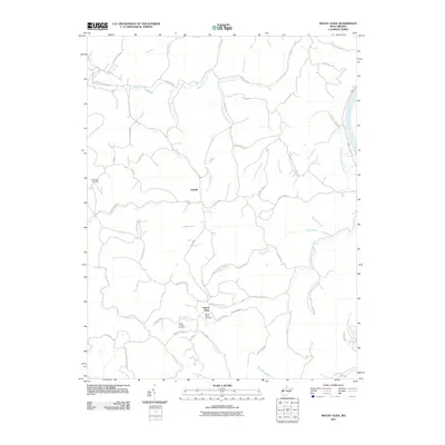 2011 Mount Olive2011 Print · USGSMason County’s ridge-and-hollow topography is meticulously detailed here in the years following the turn of the millennium. Genealogists and local historians can locate several family landmarks including Meadows Cemetery, Staten Chapel, and the settlement of Upland.
 - 2011 Map of Catlettsburg, 2011 Print
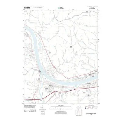 2011 Catlettsburg2011 Print · USGSThe tri-state confluence of Kentucky, Ohio, and West Virginia comes alive in this survey of the river-and-rail economy. Researchers can trace ancestral sites like Green Lawn Cemetery or study the industrial footprint of the Ashland Oil Refinery and Big Sandy Junction.
 - 2011 Map of Glenwood, 2011 Print
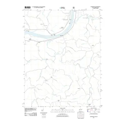 2011 Glenwood2011 Print · USGSThe Ohio River valley near the West Virginia and Ohio border is shown in this early twenty-first century survey. Genealogists and local historians can trace family locations through several community burial grounds like Mount Zion Cemetery and historic river access points such as Hannon Landing.
 - 2011 Map of Athalia, 2011 Print
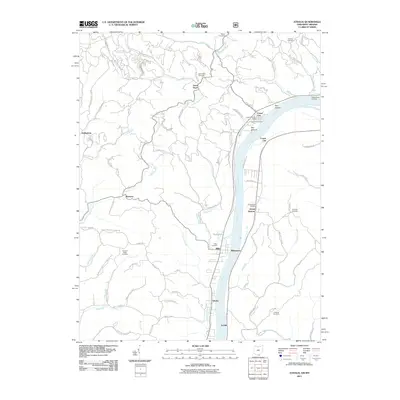 2011 Athalia2011 Print · USGSThe river valley and surrounding ridges of Gallia County are documented here as they appeared in the early 2010s. Researchers can locate numerous family burial sites such as Greenbottom Cemetery and Halley Cemetery, or trace the rural landscape around Crown City and Millersport.
 - 2011 Map of Barboursville, 2011 Print
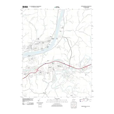 2011 Barboursville2011 Print · USGSThe confluence of the Ohio and Guyandotte rivers is documented here in the early twenty-first century as suburban neighborhoods expanded across the West Virginia hills. Genealogists and historians can locate numerous burial grounds including White Chapel Cemetery and Oaklawn Memorial Park.
 - 2011 Map of Huntington, 2011 Print
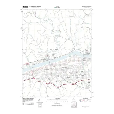 2011 Huntington2011 Print · USGSHuntington and the Ohio River valley appear in high detail during the early twenty-first century, documenting a major educational and industrial hub. Researchers can trace the layout of Marshall University, find family names at Spring Hill Cemetery, or locate the Lawrence County Airpark across the water.
 - 2013 Map of Catlettsburg, 2013 Print
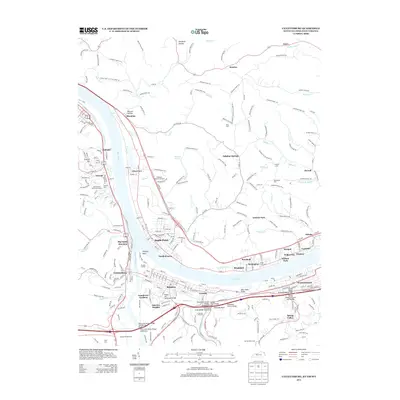 2013 Catlettsburg2013 Print · USGSThe confluence of the Ohio and Big Sandy Rivers comes alive in this modern survey of the Huntington tri-state area. Genealogists and local historians can trace the neighborhoods of Catlettsburg and Kenova or locate family sites at Crescent Hill Cem and Highland Memorial Gardens.
 - 2013 Map of Athalia, 2013 Print
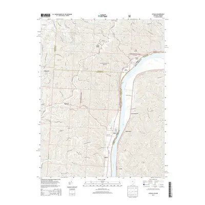 2013 Athalia2013 Print · USGSThe Ohio River valley at the Lawrence and Gallia county line comes into focus in this recent survey. Researchers can trace family sites from Crown City to Athalia, alongside numerous burial grounds like Good Hope Cem and Greenbottom Cem.
 - 2014 Map of Mount Olive, 2014 Print
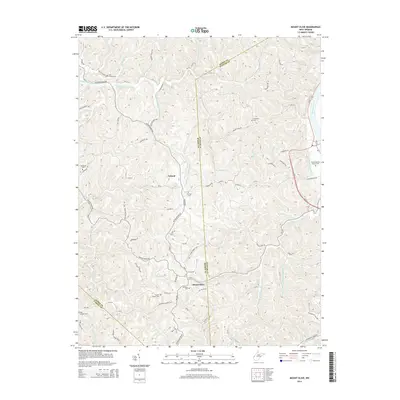 2014 Mount Olive2014 Print · USGSThe headwaters of Eighteenmile Creek meet the Kanawha River in this 2010s survey of the Mason and Putnam county border. Local historians can trace family burial sites at Mt Zion Cem, Evergreen Cem, and the high-elevation settlement of Upland.
 - 2014 Map of West Hamlin, 2014 Print
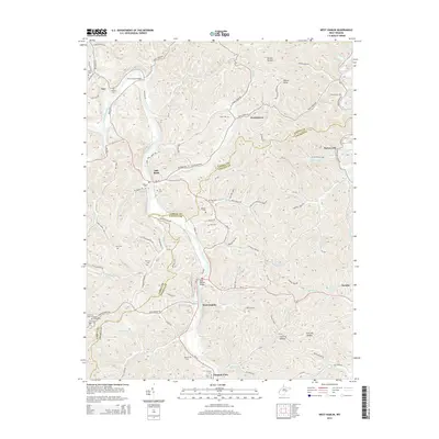 2014 West Hamlin2014 Print · USGSThe Guyandotte and Mud River valleys in Cabell and Lincoln counties appear here in the early 2010s. Genealogists can trace family heritage through numerous ridge-top sites like Hatfield Cem, Ross Cem, and the community of Salt Rock.
 - 2014 Map of Winslow, 2014 Print
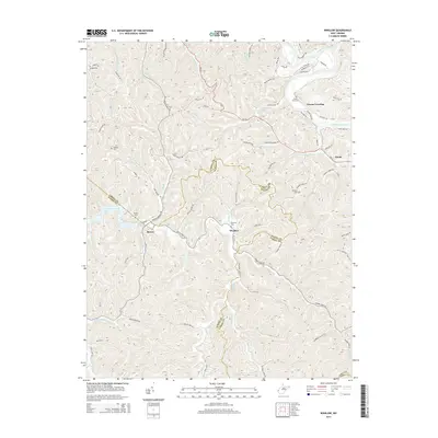 2014 Winslow2014 Print · USGSCabell and Wayne counties are shown during the mid-2010s, capturing the communities along the Guyandotte River and the hollows of the Beech Fork valley. Researchers can locate family burial sites like Floral Oaks Cem and Crooks Cem or trace the early paths of Owens Crossing and Winslow.
 - 2014 Map of Hamlin, 2014 Print
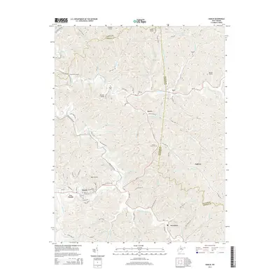 2014 Hamlin2014 Print · USGSLincoln County life follows the winding Mud River and its numerous tributary hollows in this 2010s-era study. Researchers can trace family roots through several documented burial sites, including Lincoln Memorial Cem, Hamlin Cem, and the more remote Trace Fork Cem.
 - 2014 Map of Nestlow, 2014 Print
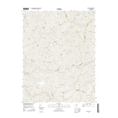 2014 Nestlow2014 Print · USGSThe West Virginia borderlands of Wayne, Cabell, and Lincoln Counties are captured here in the mid-2010s. Genealogists can trace family heritage across a landscape dense with family-named sites like Beckelheimer Cem, Saddle Knob, and Asbury Hollow.
 - 2014 Map of Branchland, 2014 Print
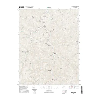 2014 Branchland2014 Print · USGSLincoln County in the mid-2010s remains a landscape of tightly packed hollows and river-bend settlements. Genealogists and local historians can trace family roots through a remarkable number of upland burial sites, including Chapman Cem, Keck Cem, and the riverfront Lucas Cem.
 - 2014 Map of Barboursville, 2014 Print
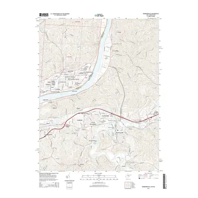 2014 Barboursville2014 Print · USGSThe Ohio River valley and its surrounding ridges come alive in the mid-2010s, showing the suburban growth of Pea Ridge and Barboursville. Genealogists and local historians can trace family locations through Beulah Baptist Cem, Ridgelawn Memorial Park, and the historic Quaker Bottom area.
 - 2014 Map of Huntington, 2014 Print
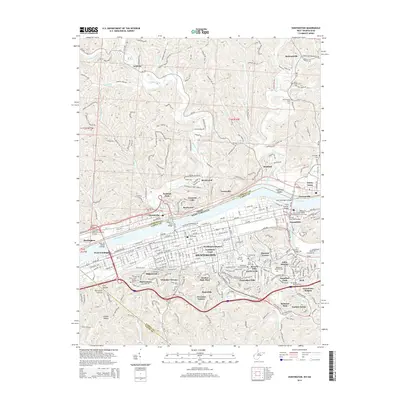 2014 Huntington2014 Print · USGSHuntington and the Ohio River valley are shown in the mid-2010s, revealing a landscape defined by industrial river crossings and established neighborhoods. Genealogists and historians can trace local landmarks like Spring Hill Cem, the Nick Joe Rahall II Bridge, and the community of Guyandotte.
 - 2014 Map of Milton, 2014 Print
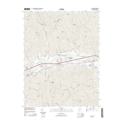 2014 Milton2014 Print · USGSCabell County in the early twenty-first century is defined by its river valleys and established residential communities. Trace the legacy of old transportation routes and local family history at the Mud River Covered Bridge or the Blue Sulphur Burial Park.
Showing maps 1-25 of 56
Top cities of Cabell County
- Huntington historical maps
- Barboursville historical maps
- Culloden historical maps
- Milton historical maps
Frequently asked questions
- What are the different types of historical maps available for Cabell County?
- What is the oldest map of Cabell County?
- Where can I purchase historical maps of Cabell County for my home or office?
- Where can I download high-res historical maps of Cabell County?
- Are there historical topographic maps available for Cabell County?
- Is there historical aerial imagery available for Cabell County?
- Where are historical maps of Cabell County sourced from?