Old Maps of Pansy, West Virginia for Hiking & Exploration
Hike through history with 15 historic maps of Pansy. Explore old trails, ghost towns, and forgotten backroads — perfect for outdoor adventurers and local explorers.
- Rediscover forgotten places: Map out old mining camps, roads, and footpaths that no longer exist on modern maps.
- Layer with modern tools: Combine with LiDAR or satellite views to plan hikes through historical terrain.
- Made for exploration: Popular among hikers, overlanders, and local history lovers.
Use these maps to find adventure and explore the hidden past of Pansy.
Pansy, WV maps
(15)- 1892 Map of Franklin
 1892 Franklin1892 Print · USGSPendleton County and the Potomac Highlands are shown here in the 1890s, organized by the dramatic ridges and river valleys of the Alleghanies. Researchers can trace historic homesteads and early post offices at Fort Seybert, Upper Tract, and the riverside crossroads of Kline Cross Roads.
 - 1896 Map of Franklin, 1907 Print
 1896 Franklin1907 Print · USGSThe Potomac River's headwaters and the high ridges of the Alleghenies are documented here in the final years of the nineteenth century. Genealogists and local historians can trace early valley communities like Fort Seybert, Sugar Grove, and the mills at Harper Mill.4 unique versions available
 - 1920 Map of Petersburg
 1920 Petersburg1920 Print · USGSThe West Virginia and Virginia borderlands were a network of tight-knit mountain communities just after the Great War. Genealogists can locate family-named sites like Schmuckers School and Sites Chapel or trace the early Smoke Hole Settlement.3 unique versions available
 - 1921 Map of Petersburg
 1921 Petersburg1921 Print · USGSEastern West Virginia at the start of the twenties shows a landscape of mountain hollows tied together by the Baltimore and Ohio at Petersburg. Genealogists can trace family names through landmarks like Hedrick Church, Crites School, and Ketterman.
 - 1922 Map of Petersburg
 1922 Petersburg1922 Print · USGSThe West Virginia highlands in the early 1920s are centered here on the river valley at Petersburg. Researchers can locate dozens of rural schools and mountain churches, including Royal Glen Mill, Hedrick Church, and Mountaindale School.2 unique versions available
 - 1949 Map of Charlottesville
 1949 Charlottesville1949 Print · USGSThe Shenandoah Valley and Blue Ridge appear in the late 1940s as a thriving corridor of rail and river commerce. Researchers can trace the mid-century footprints of Harrisonburg, Staunton, and Culpeper alongside the historic routes of the Southern Railway.2 unique versions available
 - 1956 Map of Charlottesville, 1966 Print
 1956 Charlottesville1966 Print · USGSThe Shenandoah Valley and Blue Ridge are captured in detail during the mid-1960s as the modern interstate system began to emerge. Genealogists and historians can trace rail-connected hubs like Waynesboro or follow the river paths of the Rapidan River and Rivanna River.4 unique versions available
 - 1969 Map of Petersburg West, 1973 Print
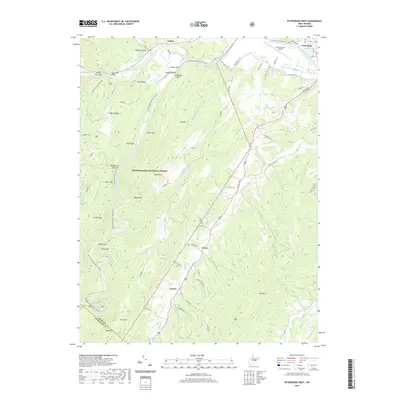
 1969 Petersburg West1973 Print · USGSThe Potomac Highlands in the late sixties were a landscape of steep ridges and valley settlements like Petersburg and Cabins. Genealogists can trace family roots through numerous remote cemeteries and rural landmarks like North Mill Creek Ch and Gordon Chapel.4 unique versions available
 - 1981 Map of Elkins, 1983 Print
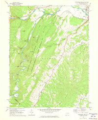
 1981 Elkins1983 Print · USGSThe West Virginia mountains in the early eighties were a hub of rail-based industry and emerging conservation lands. Genealogists and historians can trace the paths of the Western Maryland RR through Elkins and locate small upland communities like Harpertown, Bowden, and Wymer.
 - 1995 Map of Petersburg West, 1998 Print
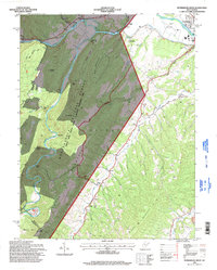 1995 Petersburg West1998 Print · USGSIn the mid-nineties, the South Branch Potomac River valley outside Petersburg supported a mix of mountain recreation and rural community life. Genealogists and hikers can trace historical landmarks like Marvin Chapel, the Petersburg Airport, and the peaks of Dayton Knob.
 - 2011 Map of Petersburg West, 2011 Print
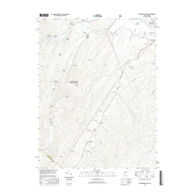
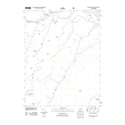 2011 Petersburg West2011 Print · USGSCovers Pansy, including Petersburg, Cabins, and other nearby areas
 - 2014 Map of Petersburg West, 2014 Print
 2014 Petersburg West2014 Print · USGSCovers Pansy, including Petersburg, Cabins, and other nearby areas
 - 2016 Map of Petersburg West, 2016 Print
 2016 Petersburg West2016 Print · USGSCovers Pansy, including Petersburg, Cabins, and other nearby areas
 - 2019 Map of Petersburg West, 2019 Print
 2019 Petersburg West2019 Print · USGSCovers Pansy, including Petersburg, Cabins, and other nearby areas
 - 2023 Map of Petersburg West, 2023 Print
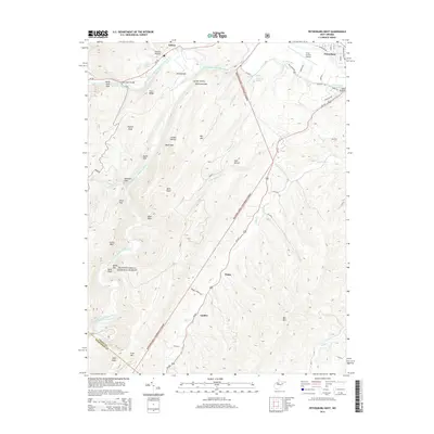
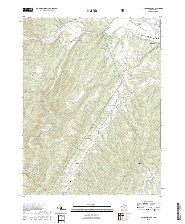 2023 Petersburg West2023 Print · USGSThe West Virginia highlands near the Grant and Pendleton county line come to life in this recent survey. Genealogists and local historians can trace family roots at the Alt Cem or Bible Family Cem, while following the winding course of North Mill Creek.
End of results
Showing maps 1-15 of 15
Top cities near Pansy
Frequently asked questions
- What are the different types of historical maps available for Pansy?
- What is the oldest map of Pansy?
- Where can I purchase historical maps of Pansy for my home or office?
- Where can I download high-res historical maps of Pansy?
- Are there historical topographic maps available for Pansy?
- Is there historical aerial imagery available for Pansy?
- Where are historical maps of Pansy sourced from?