Old Maps of Ronceverte, West Virginia for Genealogy
Trace your family roots with 37 historic maps of Ronceverte. These high-res maps reveal old neighborhoods, homesites, landmarks, and streets — helping you uncover where your ancestors lived and how the area evolved over time.
- Explore historic neighborhoods: Identify where your relatives may have lived in the 1800s or 1900s.
- Compare maps over time: Trace the changes in streets, buildings, and landmarks for multi-generational research.
- Perfect for genealogy & ancestry research: Used by family historians and researchers to map out lineage and migration.
These maps are an incredible resource for exploring your personal connection to Ronceverte's past.
Ronceverte, WV maps
(37)- 1887 Map of Hinton
 1887 Hinton1887 Print · USGSSouthern West Virginia’s rugged river corridors and mineral spring resorts come alive in this late nineteenth-century survey. Trace the rail-and-river economy through the Big Bend Tunnel, the Greenbrier Stock Yards, and the historic springs at Red Sulphur Springs.
 - 1887 Map of Lewisburg
 1887 Lewisburg1887 Print · USGSThe Greenbrier Valley and the Virginia borderlands are captured here in the late nineteenth century during a period of significant rail expansion. Genealogists and historians can trace early mountain settlements like White Sulphur Springs and Ronceverte, or locate specific landmarks like Van Staverns Mill and the Half Way House.
 - 1891 Map of Lewisburg
 1891 Lewisburg1891 Print · USGSThe Virginia and West Virginia borderlands are captured here in the late 1880s, documenting a landscape of mountain ridges and burgeoning rail infrastructure. Genealogists and historians can trace family-named landmarks like Van Staverns Mill or follow the route of the Chesapeake and Ohio Railroad through the Alleghany Tunnel.8 unique versions available
 - 1892 Map of Hinton
 1892 Hinton1892 Print · USGSSouthern West Virginia in the late nineteenth century centers on the river-and-rail hub of Hinton and the high ridges of the Alleghenies. Researchers can trace early railroad engineering at the Big Bend Tunnel or locate historic mineral spring resorts like Salt Sulphur Springs and Blue Sulphur Springs.5 unique versions available
 - 1921 Map of Alderson
 1921 Alderson1921 Print · USGSThe Greenbrier River valley and the West Virginia highlands come alive in the early 1920s, showing the region's rail-dependent economy and rural school networks. Researchers can trace family roots at Nickels Mill, Spider Den School, and the settlement of Sinks Grove.3 unique versions available
 - 1921 Map of White Sulphur Springs
 1921 White Sulphur Springs1921 Print · USGSThe Greenbrier Valley in the early twenties reveals a landscape of dense rural settlements and early mountain thoroughfares. Genealogists can trace family footprints across dozens of local sites like Germany School, Balm of Gilead Church, and White Sulphur Springs.2 unique versions available
 - 1921 Map of Ronceverte
 1921 Ronceverte1921 Print · USGSThe West Virginia and Virginia borderlands come alive in this early 1920s record of the Greenbrier Valley and Allegheny ridges. Genealogists can trace family roots through numerous local landmarks like Organ Cave, Red Mill, and the Highland Green School.2 unique versions available
 - 1923 Map of White Sulphur Springs
 1923 White Sulphur Springs1923 Print · USGSGreenbrier County is documented in the early twenties as a landscape of river-bend railroads and mountain turnpikes. Genealogists can trace family schoolhouses like Carroll Hill School and local landmarks such as Mathews Fort or Pilgrims Rest.3 unique versions available
 - 1923 Map of Ronceverte
 1923 Ronceverte1923 Print · USGSSoutheast West Virginia in the early twenties is a landscape of mountain ridges and remote hollows. Genealogists can trace the rural communities of Gap Mills and Sweet Springs, alongside dozens of landmarks like Organ Cave and Schley School.4 unique versions available
 - 1923 Map of Alderson
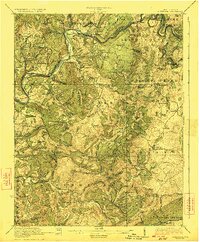 1923 Alderson1923 Print · USGSMonroe and Greenbrier Counties are shown here in the early 1920s, a landscape defined by mineral springs and a dense network of rural schoolhouses. Researchers can locate dozens of local sites like Hokes Mill, Sinks Grove P O, and the Spider Den School.3 unique versions available
 - 1935 Map of White Sulphur Springs, 1965 Print
 1935 White Sulphur Springs1965 Print · USGSGreenbrier County is shown here in the mid-1930s, featuring a landscape of mountain ridges and river-bottom settlements connected by the Chesapeake and Ohio railroad. Researchers can locate many now-rare landmarks, from Camp Alleghany to the Enon Church and schools like Dansie School.
 - 1939 Map of White Sulphur Springs
 1939 White Sulphur Springs1939 Print · USGSGreenbrier County is captured here in the late 1930s, showing a landscape defined by the winding Greenbrier River and the expanding road network of Lewisburg. Genealogists and historians can trace numerous rural institutions, from the grounds of Camp Alleghany to local centers like Frankford and Pilgrim Rest Church.2 unique versions available
 - 1948 Map of Ronceverte, 1964 Print
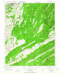 1948 Ronceverte1964 Print · USGSThe West Virginia and Virginia borderlands come into focus in the late 1940s, showing the mountain communities between the Greenbrier River and the Jefferson National Forest. Genealogists can locate family-named landmarks like McGlone and Gutes, or trace rural institutions such as Pleasant Valley Sch and Red Mill.
 - 1952 Map of Ronceverte
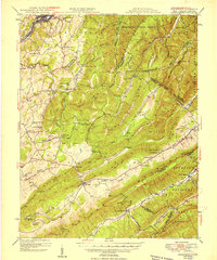 1952 Ronceverte1952 Print · USGSThe West Virginia and Virginia borderlands come alive in the early fifties, showing a rugged landscape of high ridges and narrow valleys. Genealogists can trace family roots through numerous local landmarks like Dowdy Cem, Organ Cave, and rural centers such as Gap Mills or Paint Bank.
 - 1955 Map of Bluefield
 1955 Bluefield1955 Print · USGSThe Central Appalachian borderlands come alive in the mid-fifties, showing the coal and rail networks connecting Bluefield to Beckley. Researchers can trace the industrial landscape of the New River Ordnance Plant and the terrain of Burkes Garden.
 - 1957 Map of Bluefield, 1967 Print
 1957 Bluefield1967 Print · USGSThe heart of Central Appalachia in the mid-fifties is defined by the winding rail lines and river valleys of the coalfields. Researchers can trace the industrial footprints of towns like Welch and Princeton or locate landmarks such as the Bluestone Reservoir and Claytor Lake.2 unique versions available
 - 1961 Map of Bluefield
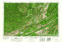 1961 Bluefield1961 Print · USGSThe coalfields and mountain ridges of southern West Virginia and southwest Virginia are captured in the early sixties. Genealogists can trace family ties through rail-linked towns like Princeton and Richlands or along the shores of Bluestone Reservoir.
 - 1971 Map of Ronceverte, 1975 Print
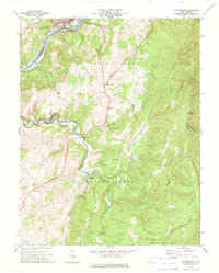 1971 Ronceverte1975 Print · USGSGreenbrier and Monroe counties are captured here in the early seventies, showing the rail-and-river hub of Ronceverte. Genealogists can trace local roots through sites like Organ Cave, Morgan Cem, and the numerous country churches like Salem Ch and Elizabeth Chapel.
 - 1971 Map of Fort Spring, 1975 Print
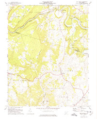 1971 Fort Spring1975 Print · USGSMonroe County in the early seventies shows a landscape defined by the winding Greenbrier River and heavy rail industry. Local historians can trace industrial sites like Snowflake and old water-powered landmarks including Nickells Mill and the Covered Bridge.2 unique versions available
 - 1972 Map of Lewisburg, 1974 Print
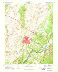 1972 Lewisburg1974 Print · USGSLewisburg and the Greenbrier Valley are captured in the early seventies, showing a landscape shaped by the river and the rail. Researchers can trace local genealogy at Greenbrier Memorial Gardens or locate rural landmarks like Calvary Ch and the Arbuckle School.2 unique versions available
 - 1984 Map of Lewisburg, 1985 Print
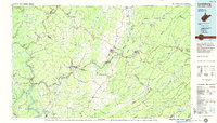 1984 Lewisburg1985 Print · USGSThe Greenbrier Valley in the mid-eighties shows a landscape of river-town commerce, mountain agriculture, and major institutional landmarks. Researchers can trace the rail corridors of the Chesapeake and Ohio and locate sites like the Federal Reformatory for Women and the Sam Black Church.2 unique versions available
 - 1998 Map of Lewisburg, 2000 Print
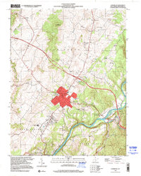 1998 Lewisburg2000 Print · USGSGreenbrier County is captured in the late nineties as a thriving valley anchored by Lewisburg. Genealogists and historians can trace local landmarks like Arbuckle Sch, Liberty Ch, and the winding course of the Greenbrier River.
 - 2011 Map of Lewisburg, 2011 Print
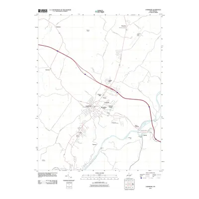 2011 Lewisburg2011 Print · USGSLewisburg and the Greenbrier River valley are captured in this recent survey during a period of modern residential expansion. Genealogists and local historians can trace family ties at the Old Stone Cemetery or locate landmarks like Mathews Ford and the Greenbrier Valley Fairground.
 - 2011 Map of Fort Spring, 2011 Print
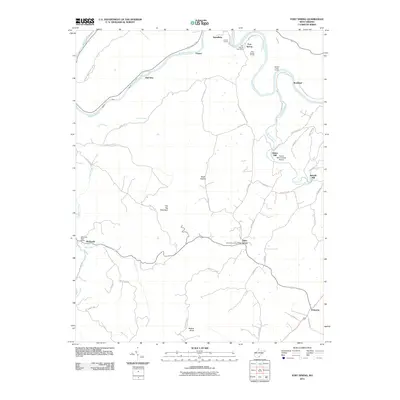 2011 Fort Spring2011 Print · USGSGreenbrier County, West Virginia, is shown here in the early twenty-first century, centered on the river-and-rail hub of Fort Spring. Local historians can trace the paths of industry and mail service through landmarks like the Hokes Mill Covered Bridge, Nickells Mill, and several rural post offices.
 - 2011 Map of Ronceverte, 2011 Print
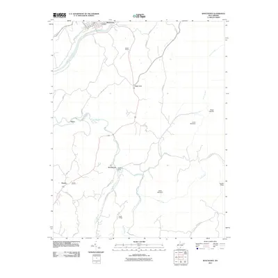 2011 Ronceverte2011 Print · USGSRonceverte and the southern Greenbrier County highlands are captured here in the early twenty-first century. Genealogists and local historians can trace family land near Organ Cave, Patton, and the Lebanon Cemetery along Second Creek.
Showing maps 1-25 of 37
Top cities near Ronceverte
- Lewisburg historical maps
- White Sulphur Springs historical maps
- Fairlea historical maps
- Rupert historical maps
- Union historical maps
Frequently asked questions
- What are the different types of historical maps available for Ronceverte?
- What is the oldest map of Ronceverte?
- Where can I purchase historical maps of Ronceverte for my home or office?
- Where can I download high-res historical maps of Ronceverte?
- Are there historical topographic maps available for Ronceverte?
- Is there historical aerial imagery available for Ronceverte?
- Where are historical maps of Ronceverte sourced from?