Old Maps of West Milford, West Virginia for Genealogy
Trace your family roots with 13 historic maps of West Milford. These high-res maps reveal old neighborhoods, homesites, landmarks, and streets — helping you uncover where your ancestors lived and how the area evolved over time.
- Explore historic neighborhoods: Identify where your relatives may have lived in the 1800s or 1900s.
- Compare maps over time: Trace the changes in streets, buildings, and landmarks for multi-generational research.
- Perfect for genealogy & ancestry research: Used by family historians and researchers to map out lineage and migration.
These maps are an incredible resource for exploring your personal connection to West Milford's past.
West Milford, WV maps
(13)- 1904 Map of Weston
 1904 Weston1904 Print · USGSWest Virginia's Lewis and Harrison counties at the start of the century show a region shaped by coal and steam. Genealogists and historians can trace family roots through early settlements like Jane Lew, identify operations at Lynch Mines, and locate the Dovener P.O. Dean.2 unique versions available
 - 1926 Map of Weston
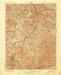 1926 Weston1926 Print · USGSWeston and the West Fork River valley are captured in the mid-twenties as the rail-and-river economy flourished. Genealogists and researchers can trace family-named sites like Jackson Mill, Romines Mills, and the Broad Run Church.4 unique versions available
 - 1949 Map of Clarksburg
 1949 Clarksburg1949 Print · USGSThe upper Ohio River valley and the industrial heart of West Virginia come into focus during this post-war period. Genealogists and researchers can trace the rail corridors of the Baltimore and Ohio and locate centers like Fairmont, Grafton, and Waynesburg.
 - 1956 Map of Clarksburg, 1966 Print
 1956 Clarksburg1966 Print · USGSThe Ohio River valley and the industrial heart of West Virginia are seen here in the mid-1950s as rail and river commerce thrived. Researchers can trace historic transport lines like the Baltimore and Ohio RR and locate ancestral homes in Clarksburg, Moundsville, or Parkersburg.2 unique versions available
 - 1961 Map of Clarksburg
 1961 Clarksburg1961 Print · USGSThe mid-century industrial and river landscapes of West Virginia and Ohio are detailed here, centered on the Ohio River. Researchers can trace the Baltimore and Ohio rail lines connecting towns like Parkersburg, Clarksburg, and Monongah.
 - 1961 Map of West Milford, 1962 Print
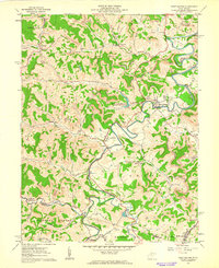 1961 West Milford1962 Print · USGSHarrison and Lewis Counties come alive in the early sixties as a landscape of river valleys and ridgeline industry. Genealogists and historians can trace family locations near West Milford, the Kobergard Sch, or the many Strip Mines and Oil Wells that defined the era.2 unique versions available
 - 1982 Map of Clarksburg, 1983 Print
 1982 Clarksburg1983 Print · USGSNorth Central West Virginia in the early eighties reveals a landscape deeply connected to its coal and gas resources. Genealogists and researchers can trace family landmarks and historical settlements from Clarksburg to Buckhannon, or locate sites like Quiet Dell and Watters Smith Memorial State Park.
 - 1988 Map of Clarksburg, 1989 Print
 1988 Clarksburg1989 Print · USGSThe central Appalachians are documented in detail during the late eighties, showing the industrial and river-based economies of West Virginia, Ohio, and Pennsylvania. Researchers can trace historic rail routes like the B & O RR and locate river towns from St Marys to Parkersburg.
 - 2011 Map of West Milford, 2011 Print
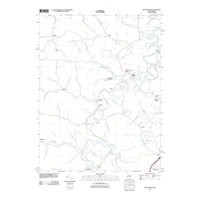 2011 West Milford2011 Print · USGSHarrison County at the start of the 2010s reveals a landscape of enduring rural settlements and complex river geography. Genealogists and local researchers can trace the history of West Milford and Sheets Mills while locating ancestral sites like Post Cemetery and Mount Olive Cemetery.
 - 2014 Map of West Milford, 2014 Print
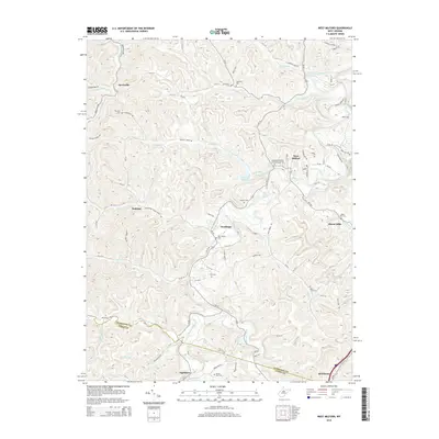 2014 West Milford2014 Print · USGSHarrison County's river-bottom settlements and upland ridges are meticulously detailed in this early twenty-first-century survey. Genealogists and local historians can trace family locations through numerous sites like New Bethel Cem, Post Cem, and the community at Goodhope.
 - 2016 Map of West Milford, 2016 Print
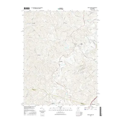 2016 West Milford2016 Print · USGSHarrison and Lewis Counties appear in the mid-2010s as a landscape of river-valley settlements and quiet ridge roads. Genealogists and local historians can trace family locations through numerous sites like New Bethel Cem, Jarvisville, and the West Fork River corridor.
 - 2019 Map of West Milford, 2019 Print
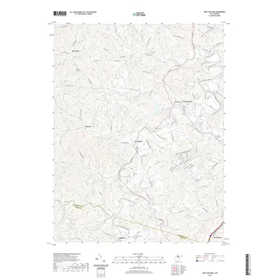 2019 West Milford2019 Print · USGSWest Virginia's river valleys and ridgelines are documented here during the late 2010s, showing a landscape defined by the West Fork River. Genealogists can trace family connections at Rose Hill Cem and Mausoleum, Goodhope, and the rural enclave of Jarvisville.
 - 2023 Map of West Milford, 2023 Print
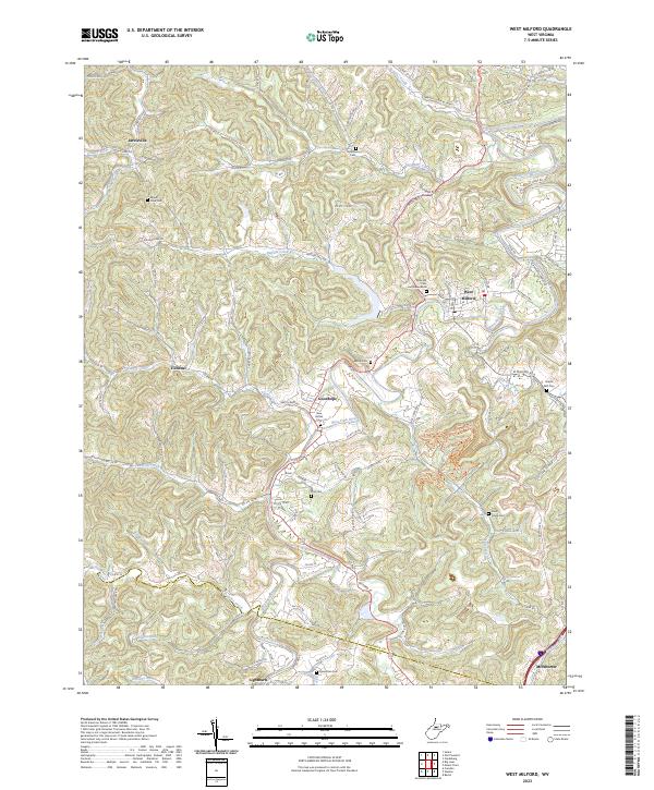 2023 West Milford2023 Print · USGSWest Virginia's rural heartland comes to life in this contemporary survey of Harrison and Lewis counties. Genealogists and local historians can trace family roots through numerous burial sites like Rose Hill Cem and Mausoleum, Broad Run Cem, and Sheets Mill Cem.
End of results
Showing maps 1-13 of 13
Top cities near West Milford
- Fairmont historical maps
- Clarksburg historical maps
- Bridgeport historical maps
- Buckhannon historical maps
- Weston historical maps
- Pleasant Valley historical maps
See more
Frequently asked questions
- What are the different types of historical maps available for West Milford?
- What is the oldest map of West Milford?
- Where can I purchase historical maps of West Milford for my home or office?
- Where can I download high-res historical maps of West Milford?
- Are there historical topographic maps available for West Milford?
- Is there historical aerial imagery available for West Milford?
- Where are historical maps of West Milford sourced from?