Old Maps of Morgan, West Virginia for Metal Detecting
Plan your next treasure hunt with 13 historic maps of Morgan. Find old homesites, ghost towns, trails, and gathering spots that may be lost to time — perfect for identifying promising metal detecting locations.
- Locate forgotten sites: Uncover places like long-lost settlements, abandoned rail lines, or gathering spots.
- Plan better hunts: Use map overlays combined with LiDAR or satellite views to narrow in on historically rich areas.
- Made for detectorists: Thousands of hobbyists use these maps to discover relics, coins, and hidden history.
Use these historic maps to boost your research and find new opportunities beneath the surface of Morgan.
Morgan, WV maps
(13)- 1907 Map of Keno, 1919 Print
 1907 Keno1919 Print · USGSMeigs County and the Ohio River valley appear in high detail just after the turn of the century, showing a landscape defined by river trade and rail. Researchers can trace family sites at Nease Settlement, find the Minersville PO, or locate old schools like Morningstar School and Redbrush School.3 unique versions available
 - 1949 Map of Clarksburg
 1949 Clarksburg1949 Print · USGSThe upper Ohio River valley and the industrial heart of West Virginia come into focus during this post-war period. Genealogists and researchers can trace the rail corridors of the Baltimore and Ohio and locate centers like Fairmont, Grafton, and Waynesburg.
 - 1956 Map of Clarksburg, 1966 Print
 1956 Clarksburg1966 Print · USGSThe Ohio River valley and the industrial heart of West Virginia are seen here in the mid-1950s as rail and river commerce thrived. Researchers can trace historic transport lines like the Baltimore and Ohio RR and locate ancestral homes in Clarksburg, Moundsville, or Parkersburg.2 unique versions available
 - 1960 Map of Portland, 1963 Print
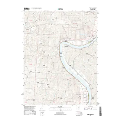
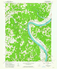 1960 Portland1963 Print · USGSThe Ohio River valley at the start of the 1960s reveals a landscape of river-dependent commerce and deep local history. Genealogists and historians can trace the Buffington Island State Memorial Mon, find family names at Brick Church Cem, or locate the Riverview Sch.5 unique versions available
 - 1961 Map of Clarksburg
 1961 Clarksburg1961 Print · USGSThe mid-century industrial and river landscapes of West Virginia and Ohio are detailed here, centered on the Ohio River. Researchers can trace the Baltimore and Ohio rail lines connecting towns like Parkersburg, Clarksburg, and Monongah.
 - 1981 Map of Parkersburg, 1984 Print
 1981 Parkersburg1984 Print · USGSThe Ohio River valley at the start of the 1980s reveals a landscape shaped by river commerce and the rail networks of the Baltimore and Ohio RR. Genealogists and historians can trace the development of riverfront communities like Parkersburg, Marietta, and Williamstown, alongside rural landmarks like Blennerhassett Island and Elizabeth.
 - 1988 Map of Clarksburg, 1989 Print
 1988 Clarksburg1989 Print · USGSThe central Appalachians are documented in detail during the late eighties, showing the industrial and river-based economies of West Virginia, Ohio, and Pennsylvania. Researchers can trace historic rail routes like the B & O RR and locate river towns from St Marys to Parkersburg.
 - 1994 Map of Portland, 1998 Print
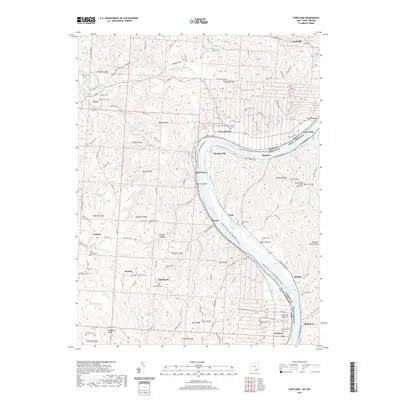
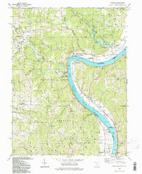 1994 Portland1998 Print · USGSMeigs County's riverfront and the West Virginia borderlands appear in detail in the 1990s, capturing a landscape of state forests and riverside settlements. Genealogists can trace family names at Our Lady of Loretto Ch, Muses Bottom, and the Buffington Island State Memorial.
 - 2010 Map of Portland, 2010 Print
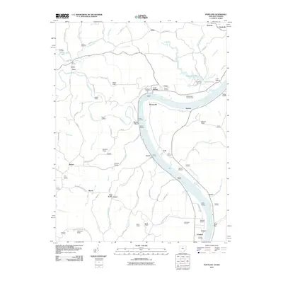 2010 Portland2010 Print · USGSCovers Morgan, including Rushville, Hazael, and other nearby areas
 - 2013 Map of Portland, 2013 Print
 2013 Portland2013 Print · USGSCovers Morgan, including Rushville, Hazael, and other nearby areas
 - 2016 Map of Portland, 2016 Print
 2016 Portland2016 Print · USGSCovers Morgan, including Rushville, Hazael, and other nearby areas
 - 2019 Map of Portland, 2019 Print
 2019 Portland2019 Print · USGSCovers Morgan, including Rushville, Hazael, and other nearby areas
 - 2023 Map of Portland, 2023 Print
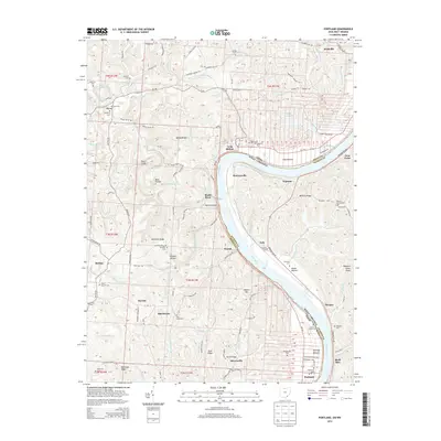
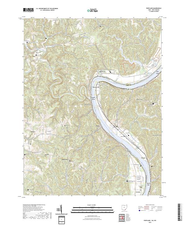 2023 Portland2023 Print · USGSMeigs County, Ohio, and across the river into West Virginia, the landscape is captured here along a dramatic bend in the Ohio River. Local historians can trace family roots through numerous hilltop burial sites like Rainbow Cem and Laucks Chapel Cem or locate old settlements at Long Bottom and Hazael.
End of results
Showing maps 1-13 of 13
Top cities near Morgan
- Parkersburg historical maps
- Ravenswood historical maps
- Ripley historical maps
- Chester historical maps
- New Haven historical maps
- Syracuse historical maps
See more
Frequently asked questions
- What are the different types of historical maps available for Morgan?
- What is the oldest map of Morgan?
- Where can I purchase historical maps of Morgan for my home or office?
- Where can I download high-res historical maps of Morgan?
- Are there historical topographic maps available for Morgan?
- Is there historical aerial imagery available for Morgan?
- Where are historical maps of Morgan sourced from?