2000s (21st Century) Maps of Jefferson County, West Virginia
Explore 50 historic maps of Jefferson County from the 2000s (21st Century). These maps offer a rare glimpse into what life looked like during the 2000s — showing old roads, neighborhoods, homes, and landmarks that have changed or disappeared over time.
Whether you're researching your family's past, planning a metal detecting trip, or studying how Jefferson County's landscape evolved across the 2000s, these high-resolution maps are a powerful tool for exploring the history of this region.
- Focus on a specific era: All maps on this page are from the 2000s, giving you a focused view of this time period.
- See what’s changed: Compare century-old streets, trails, and buildings to today's modern landscape using overlays and satellite layers.
- Research with precision: Use these maps for genealogy, historical research, land use analysis, or educational projects.
- View, download, or print: Maps are fully viewable online in high resolution, and can be downloaded or printed for your own records.
Start exploring Jefferson County's history through authentic maps from the 2000s. This is your window into the past.
Jefferson County, WV maps
(50)- 2010 Map of Middleway, 2010 Print
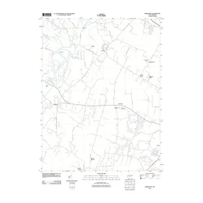 2010 Middleway2010 Print · USGSJefferson County’s rural landscape is documented here in the early 2000s, centered on the historic crossroads of Middleway. Researchers can trace family history at the Washington Burial Ground or locate old water crossings like Dandridges Ford and Whitmores Ford.
 - 2010 Map of Berryville, 2010 Print
 2010 Berryville2010 Print · USGSBerryville and the Virginia-West Virginia borderlands are shown here in the early twenty-first century, characterized by a unique pattern of historic named estates. Genealogists and local historians can trace family locations at Frosts Mill Estate, Soldiers Rest, and numerous burial grounds like Franklintown Cemetery.
 - 2010 Map of Martinsburg, 2010 Print
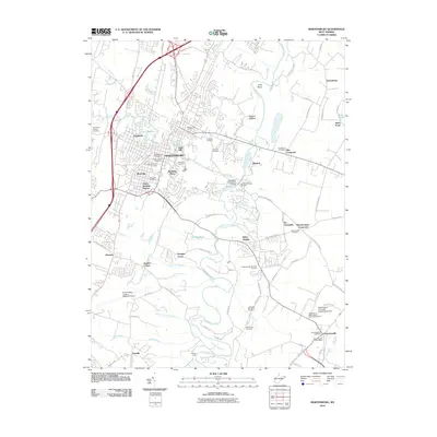 2010 Martinsburg2010 Print · USGSMartinsburg and its surrounding Berkeley County communities are captured here in the early twenty-first century as the city expanded southward. Genealogists and local historians can locate many burial sites like Old Norbourne Cemetery or trace the area's development near Boydville and Baker Heights.
 - 2010 Map of Round Hill, 2010 Print
 2010 Round Hill2010 Print · USGSThe Virginia and West Virginia borderlands are shown here in the early twenty-first century as the Blue Ridge meets the Shenandoah Valley. Researchers can locate the Kabletown Churchyard Cemetery, trace the Appalachian Trail Rd, and find old sites like Clips Mill and the Round Hill Post Office.
 - 2011 Map of Inwood, 2011 Print
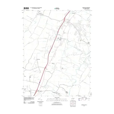 2011 Inwood2011 Print · USGSBerkeley County and the West Virginia-Virginia borderlands are captured here in the early twenty-first century as suburban growth meets rural heritage. Genealogists can trace family names and local sites from Gerrardstown to Brucetown, including the Hopewell Meetinghouse and Mountain View Cemetery.
 - 2011 Map of Stephenson, 2011 Print
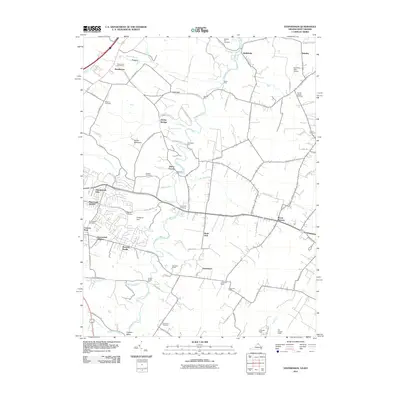 2011 Stephenson2011 Print · USGSThe northern Virginia and West Virginia borderlands appear in detail at the start of the 21st century. Researchers can trace numerous family burial grounds and historic river crossings, from Stones Chapel Cemetery to the waters at Seivers Ford and Berryville Crossing.
 - 2011 Map of Shepherdstown, 2011 Print
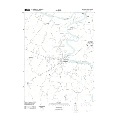 2011 Shepherdstown2011 Print · USGSShepherdstown and the Potomac River valley are captured here in the early twenty-first century as the region balanced its colonial heritage with modern growth. Genealogists can locate family landmarks like Mount Wesley Cemetery or trace historic river crossings at Pack Horse Ford and Shepherds Ford.
 - 2011 Map of Keedysville, 2011 Print
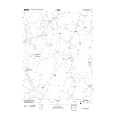 2011 Keedysville2011 Print · USGSMaryland's Civil War landscape and rural crossroads are preserved here as they appeared in the early 21st century. Historians can trace the terrain of the Antietam National Cemetery and The Cornfield, or locate family landmarks like Mumma Cemetery and Eakles Mills.
 - 2011 Map of Charles Town, 2011 Print
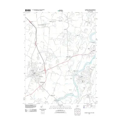 2011 Charles Town2011 Print · USGSCharles Town and the lower Shenandoah Valley are shown here in the early twenty-first century, capturing a landscape of racing history and river commerce. Genealogists and historians can trace family locations through Zion Cemetery, old post offices in Halltown, and the grounds of the Charles Town Racetrack.
 - 2011 Map of Harpers Ferry, 2011 Print
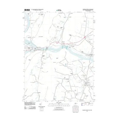 2011 Harpers Ferry2011 Print · USGSHarpers Ferry and the surrounding river gaps are shown here in the early 21st century at the meeting of three states. Local historians can trace the Chesapeake and Ohio Canal, industrial sites like Garretts Mill, and numerous burial sites including the Old Lovettsville Cemetery.
 - 2013 Map of Stephenson, 2013 Print
 2013 Stephenson2013 Print · USGSThe region northeast of Winchester shows its modern suburban growth alongside deep-rooted crossroads in the early twenty-first century. Genealogists and historians can trace family-named sites like Seivers Ford, Jordan Springs, and the High View Farm Airport.
 - 2013 Map of Berryville, 2013 Print
 2013 Berryville2013 Print · USGSThe Virginia and West Virginia borderlands are documented here in the early twenty-first century, highlighting an area of historic estates and spring-fed farms. Researchers can trace land ownership through labels like Lang Syne Estate, Fairfax Grant Farm Springs, and the settlement at Battletown.
 - 2013 Map of Round Hill, 2013 Print
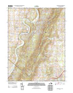 2013 Round Hill2013 Print · USGSThe Shenandoah River valley and Blue Ridge foothills meet in this contemporary survey of the West Virginia and Virginia border. Genealogists and local historians can trace family-named sites like Tom Painter Farm Spring and settlements such as Shannondale or Shenandoah Retreat.
 - 2014 Map of Inwood, 2014 Print
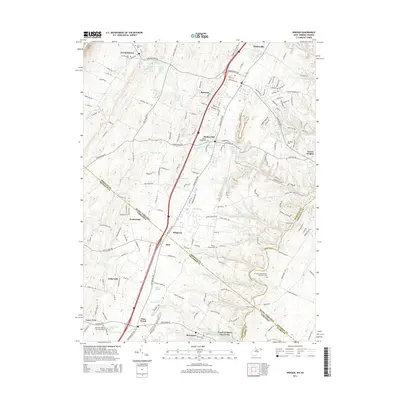 2014 Inwood2014 Print · USGSThe West Virginia and Virginia borderlands come alive in this mid-2010s survey of the Opequon Creek watershed. Researchers can trace ancestral sites like Morgan Chapel Cem, the Hopewell Meeting House Graveyard, and the historic streets of Gerrardstown.
 - 2014 Map of Harpers Ferry, 2014 Print
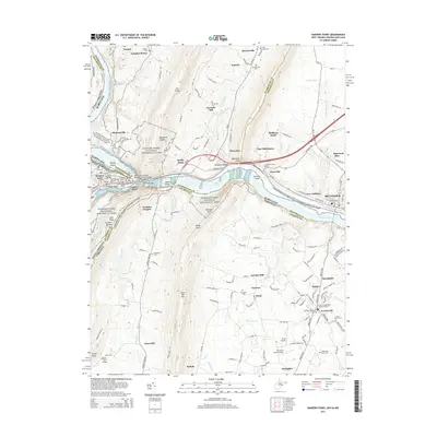 2014 Harpers Ferry2014 Print · USGSHarpers Ferry and its three-state borderlands are shown here in the early twenty-first century, before recent growth reshaped the Loudoun Valley. Genealogists can trace family names through sites like Garretts Mill, the African Methodist Episcopal Cem, and the old rail town of Brunswick.
 - 2014 Map of Charles Town, 2014 Print
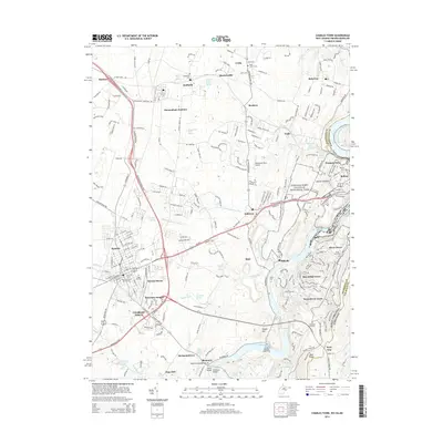 2014 Charles Town2014 Print · USGSJefferson County's storied river junctions and rail corridors are meticulously detailed in the mid-2010s. Researchers can trace family roots through sites like Zion Cem, explore the Chesapeake and Ohio Canal, or locate early settlements such as Uvilla and Halltown.
 - 2014 Map of Martinsburg, 2014 Print
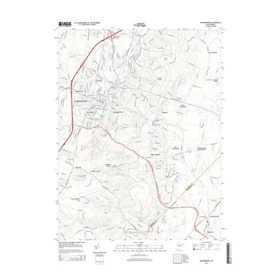 2014 Martinsburg2014 Print · USGSMartinsburg and its surrounding Berkeley County hamlets are captured here during a period of modern expansion balanced with deep-seated heritage. Researchers can locate numerous ancestral sites like Old Norbourne Cem and the Old Stone Bridge Cem near Blairton.
 - 2014 Map of Middleway, 2014 Print
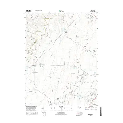 2014 Middleway2014 Print · USGSJefferson County’s historic agricultural and spring-fed landscapes are captured here as they appeared in the early twenty-first century. Researchers can locate family landmarks like the Washington Burial Ground, trace water sources like Bullskin Run, or explore the limits of Middleway and Summit Point.
 - 2014 Map of Shepherdstown, 2014 Print
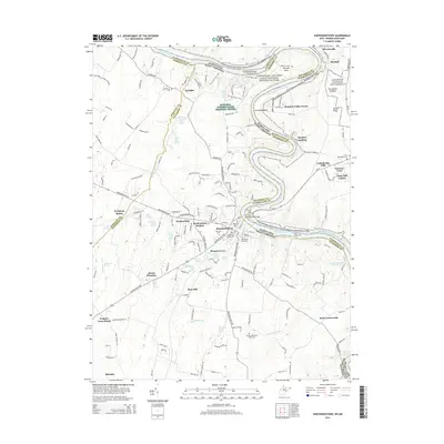 2014 Shepherdstown2014 Print · USGSThe Potomac River corridor at Shepherdstown is captured here in the early twenty-first century, showing the historic town alongside its expansive canal park. Genealogists and historians can locate numerous family burial grounds, such as Shepherds Graveyard and the Buckles-Reverend Black Cem, or trace the many springs like Rippling Spring that shaped local settlement.
 - 2014 Map of Keedysville, 2014 Print
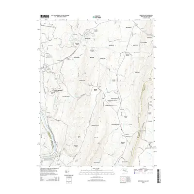 2014 Keedysville2014 Print · USGSMaryland's Civil War landscapes and Potomac River heritage are documented in this mid-2010s survey of the Washington County countryside. Researchers can trace the hallowed ground of Antietam National Battlefield or locate rural landmarks like Mt Hebron Cem and Snavelys Ford.
 - 2016 Map of Stephenson, 2016 Print
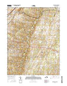 2016 Stephenson2016 Print · USGSThe borderlands of Frederick and Clarke Counties are documented here as traditional rural tracts meet modern residential growth. Genealogists and local historians can trace family burial sites like Milburn Cem and old settlements such as Jordan Springs and Wadesville.
 - 2016 Map of Berryville, 2016 Print
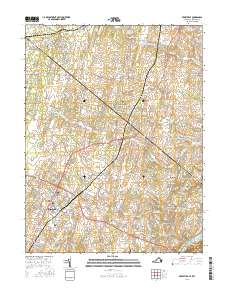 2016 Berryville2016 Print · USGSThe Virginia and West Virginia borderlands south of the Potomac show a landscape of historic family farms and established towns in the mid-2010s. Genealogists can locate numerous burial grounds like Milton Valley Cem and Franklintown Cem alongside settlements at Berryville and Wickliffe.
 - 2016 Map of Round Hill, 2016 Print
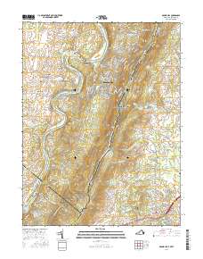 2016 Round Hill2016 Print · USGSThe West Virginia and Virginia borderlands come alive in the mid-2010s, following the ridge of the Blue Ridge Mountains and the winding Shenandoah River. Trace local heritage through the Shannondale White Sulphur Spring, the Kabletown Churchyard Cem, and the path of the Appalachian National Scenic Trail.
 - 2016 Map of Martinsburg, 2016 Print
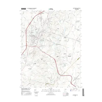 2016 Martinsburg2016 Print · USGSThe Martinsburg area during the mid-2010s shows a landscape of growing suburban centers and preserved rural crossroads. Genealogists can find numerous historic burial sites, including the Providence Quaker Cem and Saint Josephs Cem.
 - 2016 Map of Charles Town, 2016 Print
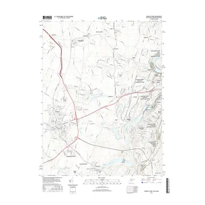 2016 Charles Town2016 Print · USGSJefferson County’s historic river forks and the Blue Ridge heights are mapped here in the mid-2010s. Researchers can trace family sites at Edge Hill Cem and Snyder Hill, or follow the B & O RR through Shenandoah Junction.
Showing maps 1-25 of 50
Top cities of Jefferson County
- Charles Town historical maps
- Ranson historical maps
- Shannondale historical maps
- Shepherdstown historical maps
- Bolivar historical maps
- Harpers Ferry historical maps
Frequently asked questions
- What are the different types of historical maps available for Jefferson County?
- What is the oldest map of Jefferson County?
- Where can I purchase historical maps of Jefferson County for my home or office?
- Where can I download high-res historical maps of Jefferson County?
- Are there historical topographic maps available for Jefferson County?
- Is there historical aerial imagery available for Jefferson County?
- Where are historical maps of Jefferson County sourced from?