Old Maps of Fivemile, West Virginia for Academic Research
Study the evolution of Fivemile with 17 high-resolution historic maps. Whether you're teaching, researching, or modeling changes in land use, these maps provide essential visual documentation of urban, environmental, and geographic change.
- Analyze long-term change: Track patterns in development, transportation, and natural features.
- Ideal for environmental or urban studies: Support academic projects with primary historical map data.
- Use in the classroom or lab: Educators and researchers rely on these maps to bring historical context to life.
These maps are a powerful tool for teaching, research, and visualizing how Fivemile has changed over the decades.
Fivemile, WV maps
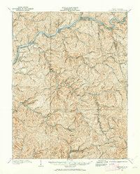
(17)- 1897 Map of Kanawha Falls
 1897 Kanawha Falls1897 Print · USGSWest Virginia's river valleys and burgeoning industrial corridors are captured here in the late nineteenth century. You can trace the early rail networks and riverside settlements such as Montgomery, Clendenin, and the river engineering at Lock 2.
 - 1900 Map of Kanawha Falls
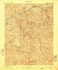
 1900 Kanawha Falls1900 Print · USGSThe Kanawha and Elk rivers converge here at the turn of the century as the coal and rail industries were rapidly transforming the West Virginia landscape. Genealogists and historians can trace riverside settlements like Montgomery and Coalburg or follow the paths of the Chesapeake and Ohio RR and early river navigation at Lock 2.
 - 1901 Map of Kanawha Falls
 1901 Kanawha Falls1901 Print · USGSWest Virginia's coal and rail heartland is captured here at the end of the nineteenth century, as river navigation and railroads transformed the Kanawha Valley. Genealogists and historians can trace the early footprints of Montgomery, find family sites near Kanawha Falls, and locate landmarks like Hawks Nest or Powellton.3 unique versions available
 - 1907 Map of Clendenin, 1962 Print
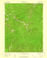
 1907 Clendenin1962 Print · USGSThe Elk River valley and its steep ridge-and-hollow terrain are captured here in the early 1900s as railroads expanded into the coalfields. Trace old river crossings at Jarretts Ford or locate remote hillside settlements like Putney, Quick, and Kendalia.2 unique versions available
 - 1909 Map of Clendenin
 1909 Clendenin1909 Print · USGSKanawha County’s rugged river corridors and rail-linked mining towns are captured here in the first decade of the twentieth century. Genealogists and historians can trace family locations near Jarretts Ford, Dry Ridge School, and the remote settlement of Blakeley.5 unique versions available
 - 1954 Map of Charleston
 1954 Charleston1954 Print · USGSWest Virginia’s industrial heart and mountain highlands are captured here during the mid-fifties, centered on the capital city. Researchers can trace historic river-and-rail corridors along the Kanawha River and locate remote peaks within the Monongahela National Forest.
 - 1957 Map of Charleston, 1966 Print
 1957 Charleston1966 Print · USGSMid-century West Virginia unfolds along the industrial Kanawha River valley and into the high Allegheny Mountains. Genealogists and historians can trace the vital rail lines of the Chesapeake and Ohio and locate riverside settlements from Saint Albans to Buckhannon.3 unique versions available
 - 1958 Map of Charleston
 1958 Charleston1958 Print · USGSMid-century West Virginia is defined here by the industrial corridor of the Kanawha River and the high ridges of the Allegheny Mountains. Researchers can trace the rail networks of the New York Central or locate remote highland communities like Pickens and Hillsboro.
 - 1958 Map of Quick, 1959 Print
 1958 Quick1959 Print · USGSThe Kanawha County coalfields are captured here in the late fifties as small valley settlements like Cinco and Quick thrived along the creeks. Genealogists and researchers can trace old mining sites and rural landmarks like Hansel Sch, Grace Ch, and the Mt Desert Lookout Tower.4 unique versions available
 - 1961 Map of Charleston
 1961 Charleston1961 Print · USGSWest Virginia's capital region and the highlands to the east are shown in detail during the early sixties. Genealogists and historians can trace rail networks like the Baltimore and Ohio RR and find early state parks such as Watoga State Park.
 - 1984 Map of Charleston
 1984 Charleston1984 Print · USGSWest Virginia's capital and the industrial Kanawha Valley are shown here in the mid-eighties as modern interstates began to reshape the region. Local researchers can locate family-named landmarks like Reamer (Sybial PO) and institutional anchors like West Virginia State College.2 unique versions available
 - 2000 Map of Quick, 2001 Print
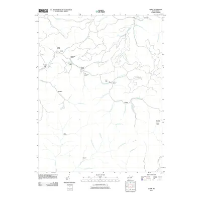
 2000 Quick2001 Print · USGSKanawha County’s creek-carved valleys are captured here at the turn of the millennium, showing a landscape shaped by rural industry and small-town roots. Local historians can trace the positions of the Book Mine, the Hansford Sch, and settlements like Quick and Blount.
 - 2011 Map of Quick, 2011 Print
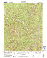
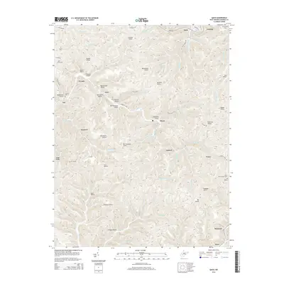
 2011 Quick2011 Print · USGSCovers Fivemile, including Rensford, Blount, and other nearby areas
 - 2014 Map of Quick, 2014 Print
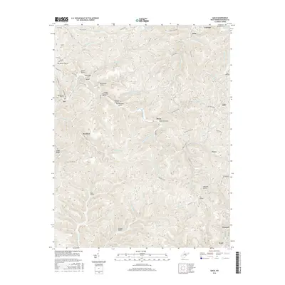
 2014 Quick2014 Print · USGSCovers Fivemile, including Rensford, Blount, and other nearby areas
 - 2016 Map of Quick, 2016 Print
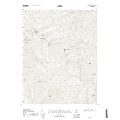
 2016 Quick2016 Print · USGSCovers Fivemile, including Rensford, Blount, and other nearby areas
 - 2019 Map of Quick, 2019 Print
 2019 Quick2019 Print · USGSCovers Fivemile, including Rensford, Blount, and other nearby areas
 - 2023 Map of Quick, 2023 Print
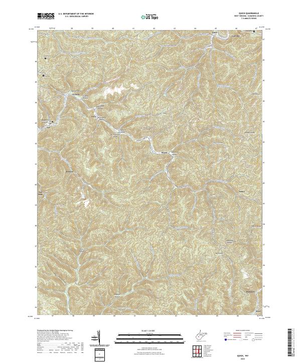 2023 Quick2023 Print · USGSThe creek valleys of Kanawha County appear in high detail on this contemporary survey of the West Virginia coalfields. Researchers can trace family origins through several burial sites like Patterson Cem and Hunter Cem, or locate old company towns at Putney and Mammoth.
End of results
Showing maps 1-17 of 17
Top cities near Fivemile
- Charleston historical maps
- South Charleston historical maps
- Montgomery historical maps
- Marmet historical maps
- Chesapeake historical maps
- Rand historical maps
See more
Frequently asked questions
- What are the different types of historical maps available for Fivemile?
- What is the oldest map of Fivemile?
- Where can I purchase historical maps of Fivemile for my home or office?
- Where can I download high-res historical maps of Fivemile?
- Are there historical topographic maps available for Fivemile?
- Is there historical aerial imagery available for Fivemile?
- Where are historical maps of Fivemile sourced from?