Old Maps of Marmet, West Virginia for Academic Research
Study the evolution of Marmet with 31 high-resolution historic maps. Whether you're teaching, researching, or modeling changes in land use, these maps provide essential visual documentation of urban, environmental, and geographic change.
- Analyze long-term change: Track patterns in development, transportation, and natural features.
- Ideal for environmental or urban studies: Support academic projects with primary historical map data.
- Use in the classroom or lab: Educators and researchers rely on these maps to bring historical context to life.
These maps are a powerful tool for teaching, research, and visualizing how Marmet has changed over the decades.
Marmet, WV maps
(31)- 1899 Map of Charleston
 1899 Charleston1899 Print · USGSWest Virginia's capital and the surrounding coalfields are documented here during the late nineteenth-century industrial boom. Researchers can trace early mining operations at the Graham Mines and follow pioneer rail lines like the Winifrede R. R. through the rugged river hollows.6 unique versions available
 - 1909 Map of Charleston
 1909 Charleston1909 Print · USGSThe Kanawha and Elk rivers converge at the turn of the century, showing a region during a period of rapid industrial expansion. Trace old rail lines and rural landmarks like Mason Sta Graham Mines P.O. and the Morning Star School Church.6 unique versions available
 - 1909 Map of Peytona
 1909 Peytona1909 Print · USGSBoone and Kanawha Counties are shown here during a period of industrial expansion along the river forks and mountain ridges. Researchers can trace early railroad sidings and post offices at Winifrede Jct, Lewiston PO, and the riverside community of Peytona.
 - 1911 Map of Peytona
 1911 Peytona1911 Print · USGSSouthern West Virginia’s coal and rail landscape is captured here in the decade before the Great War, centered on the winding Coal River. Researchers can trace the early rail hubs and hollows including Winifrede, Peytona, and the vanished Lewiston PO.3 unique versions available
 - 1929 Map of Peytona, 1960 Print
 1929 Peytona1960 Print · USGSThe Coal River valley and the industrial corridor of the Kanawha River are captured here during the late 1920s. Genealogists and historians can trace rail-side communities and local schools like Brushton Costa PO, Peytona, and Williams Sch.
 - 1931 Map of Peytona
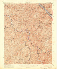 1931 Peytona1931 Print · USGSThe coal hollows and river bends of Kanawha and Boone Counties are captured here between the wars as the rail-and-river economy flourished. Genealogists can trace early twentieth-century homesites and infrastructure at Peytona, the Brushton Costa PO, and along the Winifrede RR.3 unique versions available
 - 1931 Map of Charleston, 1956 Print
 1931 Charleston1956 Print · USGSWest Virginia's capital and the surrounding river valley are shown here at a peak of industrial and rail expansion. Genealogists can trace family connections through numerous rural landmarks like the Levi Rand PO, Trinity Ch, and the ancient Mound.5 unique versions available
 - 1935 Map of Charleston, 1942 Print
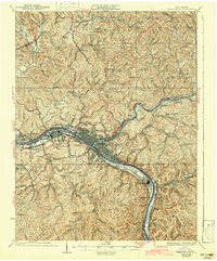 1935 Charleston1942 Print · USGSThe Kanawha Valley industrial corridor thrives in the mid-1930s as Charleston expands along its namesake river and rail lines. Local historians can trace the footprint of the U S Navy Reservation and dozens of rural hilltop schools like Walnut Gap Sch and Alum Sch.2 unique versions available
 - 1936 Map of Charleston
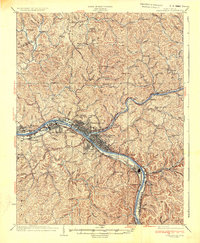 1936 Charleston1936 Print · USGSCharleston and the Kanawha Valley are captured during the 1930s industrial boom, when the river was a bustling corridor of rail and navigation. Genealogists can trace family names across dozens of rural schools like Roxalana Sch and sites like the U S Naval Reservation.
 - 1954 Map of Charleston
 1954 Charleston1954 Print · USGSWest Virginia’s industrial heart and mountain highlands are captured here during the mid-fifties, centered on the capital city. Researchers can trace historic river-and-rail corridors along the Kanawha River and locate remote peaks within the Monongahela National Forest.
 - 1957 Map of Charleston East, 1959 Print
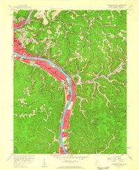 1957 Charleston East1959 Print · USGSThe West Virginia state capital and its industrial river corridor are captured in the late fifties as the turnpike and suburbs expanded. Researchers can trace mid-century landmarks like Morris Harvey College, the State Capitol, and the Kanawha Airport.3 unique versions available
 - 1957 Map of Charleston, 1966 Print
 1957 Charleston1966 Print · USGSMid-century West Virginia unfolds along the industrial Kanawha River valley and into the high Allegheny Mountains. Genealogists and historians can trace the vital rail lines of the Chesapeake and Ohio and locate riverside settlements from Saint Albans to Buckhannon.3 unique versions available
 - 1958 Map of Charleston
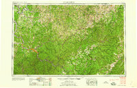 1958 Charleston1958 Print · USGSMid-century West Virginia is defined here by the industrial corridor of the Kanawha River and the high ridges of the Allegheny Mountains. Researchers can trace the rail networks of the New York Central or locate remote highland communities like Pickens and Hillsboro.
 - 1958 Map of Charleston East, 1978 Print
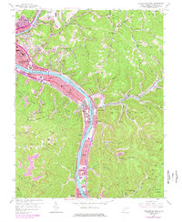 1958 Charleston East1978 Print · USGSThe industrial corridor of the Kanawha River valley east of Charleston is captured here in the late fifties, showcasing a landscape defined by manufacturing and transit. Genealogists and local researchers can trace family names and community landmarks from Spring Hill Cemetery to Dupont City and Hess Cem.
 - 1961 Map of Charleston
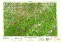 1961 Charleston1961 Print · USGSWest Virginia's capital region and the highlands to the east are shown in detail during the early sixties. Genealogists and historians can trace rail networks like the Baltimore and Ohio RR and find early state parks such as Watoga State Park.
 - 1965 Map of Belle, 1966 Print
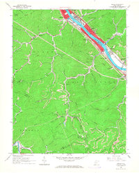 1965 Belle1966 Print · USGSMid-century industry and coal mining define the Kanawha valley in the 1960s as river traffic and railroads converge near Belle and Marmet. Genealogists and historians can trace the steep hollows to find local landmarks like Lens Creek Ch, Mitchell Cem, and the specialized Opera House Hol.4 unique versions available
 - 1977 Map of Belle, 1980 Print
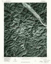 1977 Belle1980 Print · USGSThe Kanawha River valley was a bustling corridor of West Virginia industry and riverfront life in the late seventies. Genealogists and historians can trace the footprints of riverside towns like Belle, Marmet, and the inland settlement of Winifrede.
 - 1977 Map of Charleston East, 1980 Print
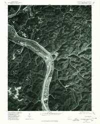 1977 Charleston East1980 Print · USGSThe industrial corridor of the Kanawha Valley is captured in detail during the late 1970s, showing the concentrated development between the steep hills and the river. Trace the layout of riverside communities from Kanawha City to Dupont City and the winding course of Campbells Creek.
 - 1984 Map of Charleston
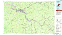 1984 Charleston1984 Print · USGSWest Virginia's capital and the industrial Kanawha Valley are shown here in the mid-eighties as modern interstates began to reshape the region. Local researchers can locate family-named landmarks like Reamer (Sybial PO) and institutional anchors like West Virginia State College.2 unique versions available
 - 1996 Map of Charleston East, 2000 Print
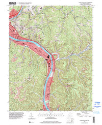 1996 Charleston East2000 Print · USGSCharleston and the industrial Kanawha Valley are captured here in the mid-nineties as the city expanded east into the hollows. Researchers can trace family sites at Spring Hill Cemetery or locate landmarks like Morris Harvey College and the Marmet Locks.
 - 1996 Map of Belle, 2000 Print
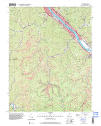 1996 Belle2000 Print · USGSThe industrial corridor of the Kanawha River comes into sharp focus during the mid-nineties, showing the integration of rail, water, and mining. Genealogists and historians can trace family locations through numerous sites like Wrightsville Cem, Winifrede, and Lens Creek Ch.
 - 2011 Map of Charleston East, 2011 Print
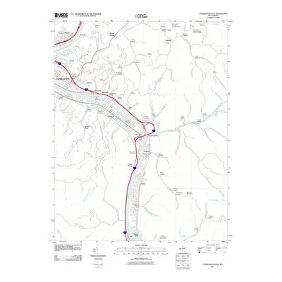 2011 Charleston East2011 Print · USGSThe Kanawha River corridor near CHARLESTON is captured here in the early twenty-first century, showing the dense network of settlements and hollows. Genealogists can locate family burial plots at Spring Hill Cemetery or Hess Cemetery and trace historical landmarks like the Malden Post Office.
 - 2011 Map of Belle, 2011 Print
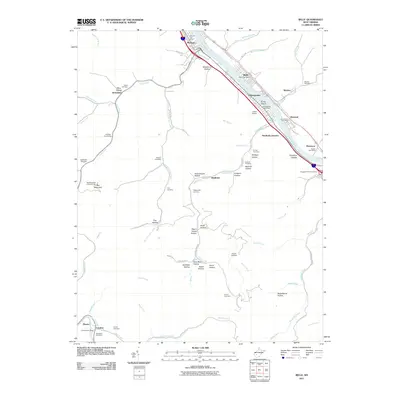 2011 Belle2011 Print · USGSIn the Kanawha River valley during the early 21st century, these riverfront communities and deep hollows reveal a complex network of Appalachian settlements. Genealogists and local historians can locate numerous burial sites like Snodgrass Cemetery or Sawmill Cemetery and trace landmarks such as the Bee Mountain Lookout Tower.
 - 2014 Map of Charleston East, 2014 Print
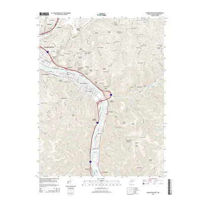 2014 Charleston East2014 Print · USGSThe eastern reaches of Charleston and the industrial Kanawha River valley are captured in detail here during the mid-2010s. Researchers can trace family history through numerous local burial sites like Spring Hill Cem and Hess Cem, or locate landmarks such as the Univ of Charleston.
 - 2014 Map of Belle, 2014 Print
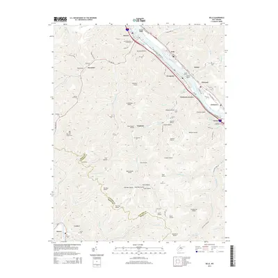 2014 Belle2014 Print · USGSThe Kanawha River valley was a bustling corridor of riverside towns and industry in the early twenty-first century. Genealogists and historians can trace numerous family burial sites and landmarks like Island Airport, Bee Mountain Lookout Tower, and the Marmet Memorial Gardens.
Showing maps 1-25 of 31
Top cities near Marmet
- Charleston historical maps
- South Charleston historical maps
- St. Albans historical maps
- Dunbar historical maps
- Madison historical maps
- Montgomery historical maps
See more
Frequently asked questions
- What are the different types of historical maps available for Marmet?
- What is the oldest map of Marmet?
- Where can I purchase historical maps of Marmet for my home or office?
- Where can I download high-res historical maps of Marmet?
- Are there historical topographic maps available for Marmet?
- Is there historical aerial imagery available for Marmet?
- Where are historical maps of Marmet sourced from?