2010s Maps of Lewis County, West Virginia
Explore 56 historic maps of Lewis County from the 2010s. These maps offer a rare glimpse into what life looked like during the 2010s — showing old roads, neighborhoods, homes, and landmarks that have changed or disappeared over time.
Whether you're researching your family's past, planning a metal detecting trip, or studying how Lewis County's landscape evolved across the 2010s, these high-resolution maps are a powerful tool for exploring the history of this region.
- Focus on a specific era: All maps on this page are from the 2010s, giving you a focused view of this time period.
- See what’s changed: Compare century-old streets, trails, and buildings to today's modern landscape using overlays and satellite layers.
- Research with precision: Use these maps for genealogy, historical research, land use analysis, or educational projects.
- View, download, or print: Maps are fully viewable online in high resolution, and can be downloaded or printed for your own records.
Start exploring Lewis County's history through authentic maps from the 2010s. This is your window into the past.
Lewis County, WV maps
(56)- 2010 Map of Peterson, 2010 Print
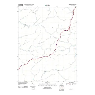 2010 Peterson2010 Print · USGSLewis County at the start of the 2010s reveals a network of valley settlements and hill ridges. Trace family history at Saint Bernard Cemetery or locate old sites at Bealls Mills, Finster, and Gillooly.
 - 2010 Map of Orlando, 2010 Print
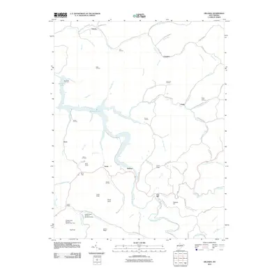 2010 Orlando2010 Print · USGSBraxton County's river valleys and ridgelines are shown here in the era following the creation of Burnsville Lake. Genealogists can locate family burial sites at Orlando Cem and Knawl Creek Cemetery or trace old routes like the Gauley Tpke.
 - 2010 Map of Walkersville, 2010 Print
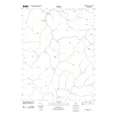 2010 Walkersville2010 Print · USGSWest Virginia mountain life continues along the river forks of Lewis and Webster counties in the early twenty-first century. Genealogists and hikers can locate the Walkersville Covered Bridge and remote settlements like Ireland or Wildcat.
 - 2010 Map of Hacker Valley, 2010 Print
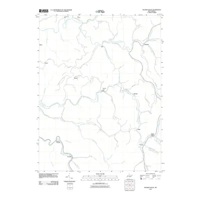 2010 Hacker Valley2010 Print · USGSHacker Valley and the surrounding Braxton County highlands are captured here in the early 2000s, showing a landscape defined by deep river forks. You can trace family roots through rural settlements like Replete, Cleveland, and Guardian, or locate landmarks such as the Hacker Valley Post Office and Courthouse Rock.
 - 2010 Map of Roanoke, 2010 Print
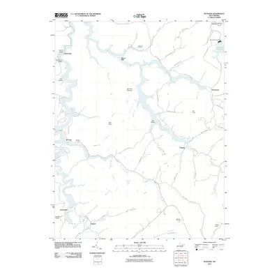 2010 Roanoke2010 Print · USGSLewis County rural life at the start of the 21st century centers on the West Fork River and the expansive Stonecoal Reservoir. Researchers can trace family history through sites like Rockford-Pletcher Cemetery and locate old settlements at Alkires Mills and Jacksonville.
 - 2011 Map of Adrian, 2011 Print
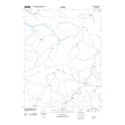 2011 Adrian2011 Print · USGSUpshur County’s rural landscape is captured here in the early twenty-first century, centered on the communities of Adrian and Frenchton. Researchers can trace local lineage through Slab Camp Cemetery or explore small settlements like McCuetown and Grub Hollow.
 - 2011 Map of Gilmer, 2011 Print
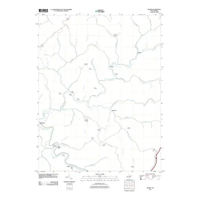 2011 Gilmer2011 Print · USGSCentral West Virginia in the early twenty-first century reveals a landscape of isolated hollows and river-bottom settlements along the Little Kanawha River. Genealogists can locate numerous family burial sites like Old Field Fork Cemetery and historic points such as the Stouts Mills Post Office.
 - 2011 Map of New Milton, 2011 Print
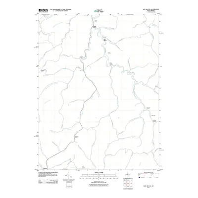 2011 New Milton2011 Print · USGSDoddridge County's creek valleys and ridgelines are documented here in the early twenty-first century, showing a landscape defined by its small settlements and family histories. Researchers can locate numerous local burial sites like Childers Cemetery and Indian Fork Cemetery or trace the early paths of Middle Point and Nina.
 - 2011 Map of Vadis, 2011 Print
 2011 Vadis2011 Print · USGSNear the West Virginia heartland, this early twenty-first-century survey captures the rural crossroads of Lewis and Gilmer counties. Researchers can trace family history through local landmarks like Point Pleasant Cemetery and the Vadis Post Office.
 - 2011 Map of Big Isaac, 2011 Print
 2011 Big Isaac2011 Print · USGSHarrison County communities like Big Isaac and Kincheloe are shown in detail during the early 21st century. Genealogists and local historians can locate many rural burial sites including Mount Lebanon Cemetery and Pleasant Hill Cemetery.
 - 2011 Map of Berlin, 2011 Print
 2011 Berlin2011 Print · USGSWest Virginia's Upshur County highlands are revealed in this 2011 survey during a period of modern rural persistence. Genealogists can trace family heritage at Old Johnstown Cemetery, Reger Cemetery, and the historic crossroads of Berlin.
 - 2011 Map of West Milford, 2011 Print
 2011 West Milford2011 Print · USGSHarrison County at the start of the 2010s reveals a landscape of enduring rural settlements and complex river geography. Genealogists and local researchers can trace the history of West Milford and Sheets Mills while locating ancestral sites like Post Cemetery and Mount Olive Cemetery.
 - 2011 Map of Camden, 2011 Print
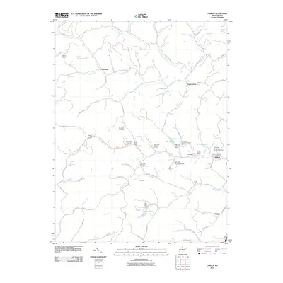 2011 Camden2011 Print · USGSLewis County's hill country is depicted here in the early twenty-first century, showing a landscape shaped by creek-side settlements and modern flood control dams. Genealogists and local historians can locate family burial sites at Woofter Cemetery and Fisher Cemetery, or trace the rural footprint of Camden and Pricetown.
 - 2011 Map of Weston, 2011 Print
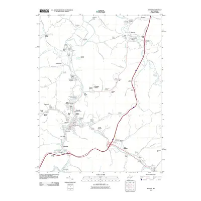 2011 Weston2011 Print · USGSWeston and the West Fork River corridor are shown here in the early twenty-first century, featuring a dense network of valley settlements. Researchers can locate dozens of ancestral burial sites like Old Hill Cemetery and trace local landmarks such as Louis Bennett Field and the Jacksons Mill State 4-H Camp.
 - 2014 Map of Walkersville, 2014 Print
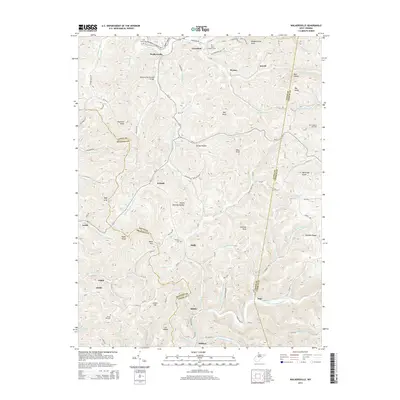 2014 Walkersville2014 Print · USGSThe West Virginia highlands near the Braxton and Lewis county lines are captured here during a period of modern rural continuity. Researchers can trace ancestral sites at Point Cem or the Walkersville Covered Bridge, and locate old mountain crossroads like Ireland and Duffy.
 - 2014 Map of Peterson, 2014 Print
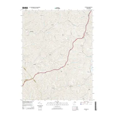 2014 Peterson2014 Print · USGSWest Virginia's Lewis County highlands are shown here in the early twenty-first century, mapping the deep hollows and high ridges that defined the region's development. Local history and genealogy researchers can locate Saint Bernard Cem, trace the West Fork River, and find small settlements like Bealls Mills and Finster.
 - 2014 Map of Gilmer, 2014 Print
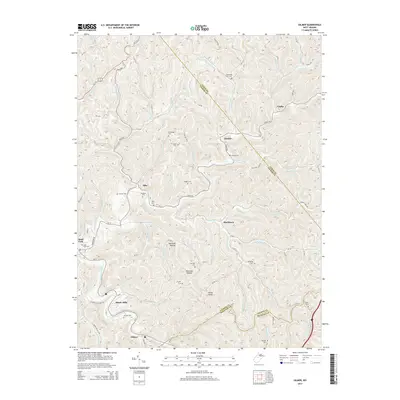 2014 Gilmer2014 Print · USGSGilmer and Sand Fork are captured here in the early twenty-first century, showcasing the deeply dissected terrain of the West Virginia hills. Genealogists can trace numerous local burial sites like Sand Fork Cem, Messenger Cem, and Mick Cem.
 - 2014 Map of Hacker Valley, 2014 Print
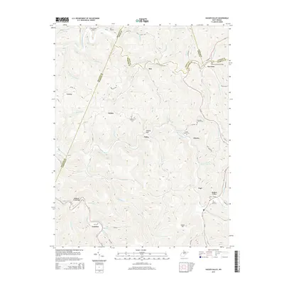 2014 Hacker Valley2014 Print · USGSThe West Virginia highlands in 2014 appear as a network of deep hollows and isolated mountain settlements. Researchers can trace family roots through numerous sites like Chestnut Grove Cemetery and the remote communities of Replete and Poling.
 - 2014 Map of Orlando, 2014 Print
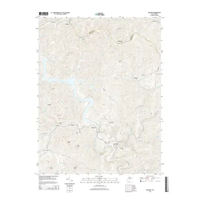 2014 Orlando2014 Print · USGSThe headwaters of the Little Kanawha River meet the waters of Burnsville Lake in this 2014 survey of the Braxton and Lewis County line. Genealogists can trace family names through landmarks like Knawl Creek Cem, Bulltown, and Highwood Cem.
 - 2014 Map of New Milton, 2014 Print
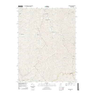 2014 New Milton2014 Print · USGSDoddridge County during the early twenty-first century maintains its quiet rural character defined by the winding waters of the Meathouse Fork. Genealogists and local historians can locate numerous family burial sites such as Toms Fork Cem and Redemption Cem alongside small settlements like Market and New Milton.
 - 2014 Map of Adrian, 2014 Print
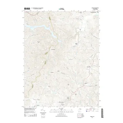 2014 Adrian2014 Print · USGSUpshur and Lewis Counties are captured in this mid-2010s survey, showing a landscape defined by deep hollows and the waters of the Stonecoal Reservoir. Researchers can trace old family sites and rural settlements from Frenchton to Hinkleville, including Beechtown Cem and Grub Hollow.
 - 2014 Map of Roanoke, 2014 Print
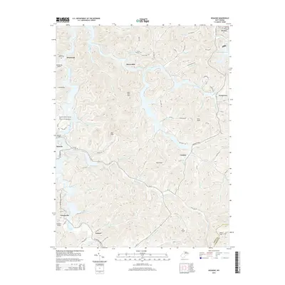 2014 Roanoke2014 Print · USGSSettlement and terrain converge in this Lewis County landscape during the early twenty-first century. Researchers can trace family history at Glady Fork Cem or Fairview Cem and locate historic community hubs like Alkires Mills, Vandalia, and Jacksonville.
 - 2014 Map of Big Isaac, 2014 Print
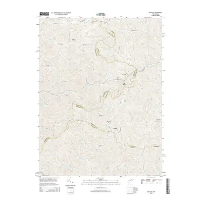 2014 Big Isaac2014 Print · USGSThe hills of West Virginia at the tri-county border of Harrison, Doddridge, and Lewis reveal a landscape of secluded hollows and family cemeteries in the early twenty-first century. Genealogists can trace family names and burial sites at Mt Carmel Cem, Big Isaac Cem, and Freeman Cem near the Kincheloe Cr drainage.
 - 2014 Map of West Milford, 2014 Print
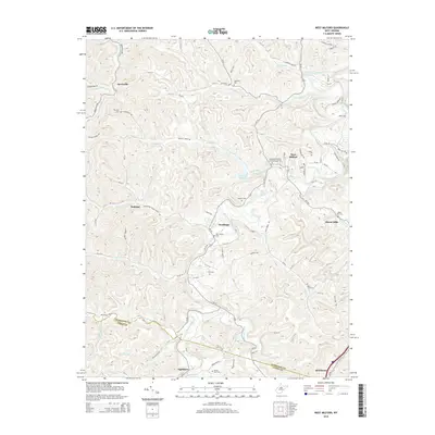 2014 West Milford2014 Print · USGSHarrison County's river-bottom settlements and upland ridges are meticulously detailed in this early twenty-first-century survey. Genealogists and local historians can trace family locations through numerous sites like New Bethel Cem, Post Cem, and the community at Goodhope.
 - 2014 Map of Vadis, 2014 Print
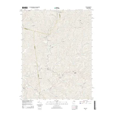 2014 Vadis2014 Print · USGSWest Virginia's rural heartland is preserved here in the early twenty-first century, spanning the meeting point of Doddridge, Gilmer, and Lewis counties. Genealogists can trace numerous family burial sites like Halderman Cem and Rock Grove Cem or locate the historic Spruce Run Truss Bridge.
Showing maps 1-25 of 56
Top cities of Lewis County
Frequently asked questions
- What are the different types of historical maps available for Lewis County?
- What is the oldest map of Lewis County?
- Where can I purchase historical maps of Lewis County for my home or office?
- Where can I download high-res historical maps of Lewis County?
- Are there historical topographic maps available for Lewis County?
- Is there historical aerial imagery available for Lewis County?
- Where are historical maps of Lewis County sourced from?