Old Maps of Flatrock, West Virginia for Genealogy
Trace your family roots with 12 historic maps of Flatrock. These high-res maps reveal old neighborhoods, homesites, landmarks, and streets — helping you uncover where your ancestors lived and how the area evolved over time.
- Explore historic neighborhoods: Identify where your relatives may have lived in the 1800s or 1900s.
- Compare maps over time: Trace the changes in streets, buildings, and landmarks for multi-generational research.
- Perfect for genealogy & ancestry research: Used by family historians and researchers to map out lineage and migration.
These maps are an incredible resource for exploring your personal connection to Flatrock's past.
Flatrock, WV maps
(12)- 1908 Map of Point Pleasant
 1908 Point Pleasant1908 Print · USGSThe confluence of the Ohio and Kanawha Rivers comes alive in the Edwardian era, showing a landscape defined by steamboats and steam engines. Genealogists can trace family roots through riverside landings and local institutions like the Ohio Epileptic Home, Hickory Chapel, and the Gallipolis Ferry.3 unique versions available
 - 1926 Map of Point Pleasant, 1958 Print
 1926 Point Pleasant1958 Print · USGSAt the meeting of the Ohio and Kanawha rivers, this 1920s landscape captures a bustling network of river commerce and railroad towns. Researchers can trace historic river crossings like the Gallipolis Ferry and locate early institutional landmarks including the Epileptic Home and State Industrial School.
 - 1929 Map of Point Pleasant
 1929 Point Pleasant1929 Print · USGSThe riverfronts of the Ohio and Kanawha serve as the industrial spine for this region during the late 1920s. Researchers can trace genealogical roots through dozens of local landmarks like Ambrosia PO, Clipper Mill, and the Morning Star School.2 unique versions available
 - 1957 Map of Beech Hill, 1959 Print
 1957 Beech Hill1959 Print · USGSThe Kanawha River valley in the late fifties was a landscape of small river towns and upland hollows defined by the New York Central rail line. Researchers can trace family ties at Flatrock Cem or locate rural landmarks like Hickory Chapel and the Franklin D Roosevelt Sch.2 unique versions available
 - 1957 Map of Huntington, 1966 Print
 1957 Huntington1966 Print · USGSThe industrial heart of the Ohio River valley is captured here in the mid-sixties, showing the growth of Huntington and Ashland. Researchers can trace the extensive rail networks of the Chesapeake and Ohio RR and locate sites like the Chief Cornstalk Hunting Ground.3 unique versions available
 - 1960 Map of Huntington
 1960 Huntington1960 Print · USGSThe tri-state river valley thrived in the late fifties as a hub of heavy industry and Appalachian rail transit. Genealogists and historians can trace the connection between river towns like Ashland and Portsmouth or locate family homesteads near Coleman Ridge.
 - 1981 Map of Ironton, 1982 Print
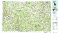 1981 Ironton1982 Print · USGSThe tri-state river valley at the start of the eighties shows a landscape shaped by heavy industry, atomic energy, and sprawling national forests. Researchers can trace the legacy of iron production at Harrison Furnace or follow the historic rail lines of the C & O RR and N & W RR.
 - 2011 Map of Beech Hill, 2011 Print
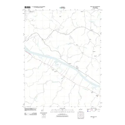 2011 Beech Hill2011 Print · USGSThe Kanawha River valley in Mason County appears here in the early 2000s, showing a landscape shaped by riverfront hamlets and upland ridges. Genealogists can locate several family-named burial sites, including McCulloch Cemetery, Henderson Cemetery, and Lutton Cemetery.
 - 2014 Map of Beech Hill, 2014 Print
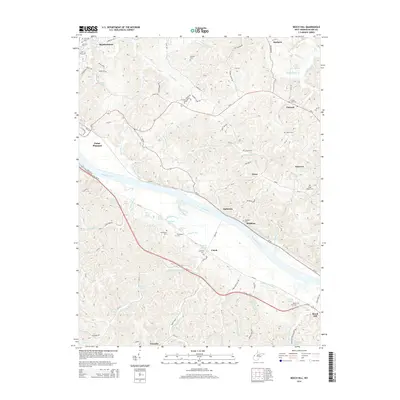 2014 Beech Hill2014 Print · USGSThe rural riverfront of Mason County is captured here in the early twenty-first century, featuring the Kanawha River corridor and the expansive Cornstalk Reservation Area. Genealogists can trace family landmarks through numerous sites like Forest Hills Cem, Brighton, and Eddy Chapel Cem.
 - 2016 Map of Beech Hill, 2016 Print
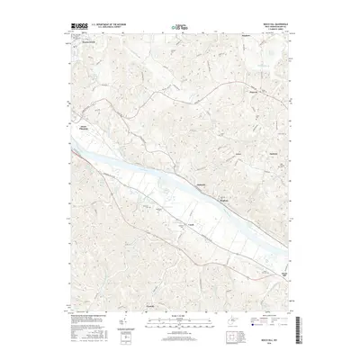 2016 Beech Hill2016 Print · USGSThe Kanawha River valley in Mason County appears here in the mid-2010s, showing a landscape defined by riverside towns and winding hill roads. Genealogists can locate family burial sites and landmarks like Forest Hills Cem, Beech Hill Cem, and Ray Crank Spring.
 - 2019 Map of Beech Hill, 2019 Print
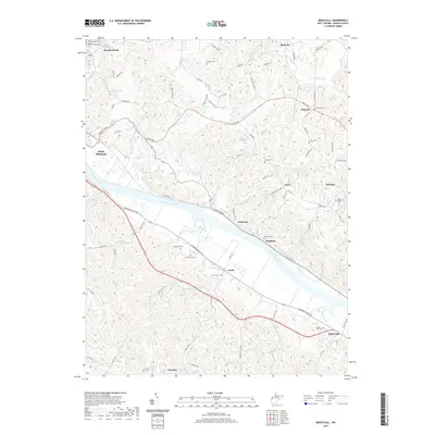 2019 Beech Hill2019 Print · USGSMason County’s riverfront and interior uplands are captured here in the late 2010s, showcasing the persistent small-town character of the Kanawha Valley. Genealogists can trace numerous family burial grounds like Hoschar Cem and Lutton Cem alongside settlements at Ambrosia and Flatrock.
 - 2023 Map of Beech Hill, 2023 Print
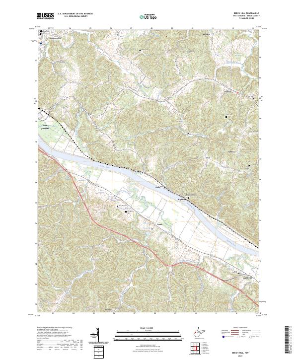 2023 Beech Hill2023 Print · USGSMason County's riverfront communities and upland ridges are mapped here in the modern era, showing the enduring rural character of the West Virginia landscape. Genealogists can trace family heritage through numerous hillside burial sites like McCulloch Cem, Henderson Cem, and the Beech Hill Cem.
End of results
Showing maps 1-12 of 12
Top cities near Flatrock
- Point Pleasant historical maps
- Gallipolis historical maps
- Middleport historical maps
- Addison historical maps
- Pomeroy historical maps
- New Haven historical maps
See more
Frequently asked questions
- What are the different types of historical maps available for Flatrock?
- What is the oldest map of Flatrock?
- Where can I purchase historical maps of Flatrock for my home or office?
- Where can I download high-res historical maps of Flatrock?
- Are there historical topographic maps available for Flatrock?
- Is there historical aerial imagery available for Flatrock?
- Where are historical maps of Flatrock sourced from?