Old Maps of Gary, West Virginia for Academic Research
Study the evolution of Gary with 23 high-resolution historic maps. Whether you're teaching, researching, or modeling changes in land use, these maps provide essential visual documentation of urban, environmental, and geographic change.
- Analyze long-term change: Track patterns in development, transportation, and natural features.
- Ideal for environmental or urban studies: Support academic projects with primary historical map data.
- Use in the classroom or lab: Educators and researchers rely on these maps to bring historical context to life.
These maps are a powerful tool for teaching, research, and visualizing how Gary has changed over the decades.
Gary, WV maps
(23)- 1891 Map of Tazewell
 1891 Tazewell1891 Print · USGSThe Clinch Valley highlands are shown here in the late nineteenth century, capturing the early settlement of the Virginia and West Virginia borderlands. Local historians can trace the foundations of Jeffersonville and rural outposts like Baptist Valley and Cedar Bluff.
 - 1895 Map of Tazewell
 1895 Tazewell1895 Print · USGSSouthwest Virginia and the West Virginia coalfields are captured in the 1890s as the rail network transformed these mountain valleys. Researchers can trace early settlements and stores along the Norfolk and Western RR, from Tazewell to the mines near Welch and Vivian.
 - 1897 Map of Tazewell
 1897 Tazewell1897 Print · USGSThe rugged coal and timber lands of the border country appear here in the 1890s as the rail network expands. Genealogists can trace family roots at Mc Neil Store, follow the early growth of Welch, and locate homesteads near Shack Mills.8 unique versions available
 - 1912 Map of Welch
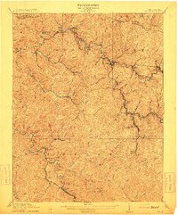 1912 Welch1912 Print · USGSMcDowell County's coal country comes alive in this pre-war survey, centered on the junction of the Norfolk and Western RR and the Tug Fork. Trace the early development of mining towns like Coalwood, Gary, and Kimball or locate vanished post offices such as Yukon PO.2 unique versions available
 - 1924 Map of Welch, 1957 Print
 1924 Welch1957 Print · USGSSouthern West Virginia’s coal country is captured here during the 1920s, showing the height of the rail-and-mine economy. Researchers can trace the legacy of company towns and family homesteads near Welch, Coalwood, and the Warrior Mine.2 unique versions available
 - 1926 Map of Welch
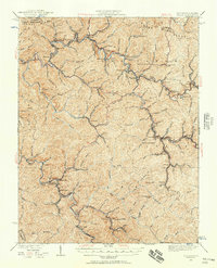
 1926 Welch1926 Print · USGSMcDowell County's coal country comes alive in the mid-1920s, showing the height of the region's rail-and-river industrial development. Genealogists can pinpoint vanished post offices like Pando Juverna PO and old rural campuses such as Mill Creek School and Shannon Branch School.3 unique versions available
 - 1955 Map of Bluefield
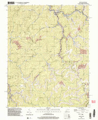
 1955 Bluefield1955 Print · USGSThe Central Appalachian borderlands come alive in the mid-fifties, showing the coal and rail networks connecting Bluefield to Beckley. Researchers can trace the industrial landscape of the New River Ordnance Plant and the terrain of Burkes Garden.
 - 1957 Map of Bluefield, 1967 Print
 1957 Bluefield1967 Print · USGSThe heart of Central Appalachia in the mid-fifties is defined by the winding rail lines and river valleys of the coalfields. Researchers can trace the industrial footprints of towns like Welch and Princeton or locate landmarks such as the Bluestone Reservoir and Claytor Lake.2 unique versions available
 - 1961 Map of Bluefield
 1961 Bluefield1961 Print · USGSThe coalfields and mountain ridges of southern West Virginia and southwest Virginia are captured in the early sixties. Genealogists can trace family ties through rail-linked towns like Princeton and Richlands or along the shores of Bluestone Reservoir.
 - 1967 Map of Gary, 1971 Print
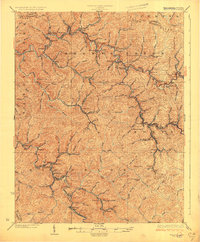
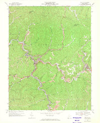
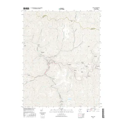
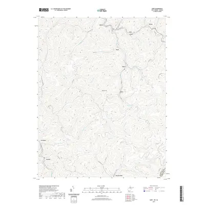
 1967 Gary1971 Print · USGSMcDowell County's coal country is shown in detail during the late sixties, where the Norfolk and Western railway links industrial settlements. Genealogists can trace family roots in Gary, Thorpe, and Newhall, or locate specific Mines and Cemeteries along the Tug Fork.2 unique versions available
 - 1968 Map of Welch, 1971 Print
 1968 Welch1971 Print · USGSMcDowell County's coal country comes into sharp focus in the late sixties, where the Norfolk and Western railroad winds through the deep valleys of the Tug Fork. Genealogists and local historians can locate many family landmarks, from the New Belcher Mtn Community Cem to the homes of Welch, Kimball, and Wilcoe.2 unique versions available
 - 1981 Map of Bluefield
 1981 Bluefield1981 Print · USGSThe coalfields and mountain ridges of the Virginia-West Virginia border are captured here during the early eighties. Genealogists and historians can trace the rail lines of the Norfolk and Western RR connecting Coalwood, Welch, and the unique geological basin of Burkes Garden.2 unique versions available
 - 2001 Map of Gary, 2003 Print
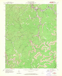
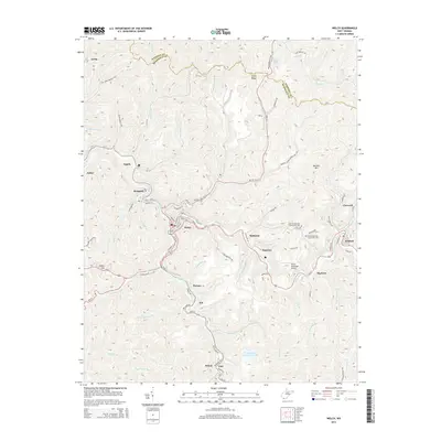
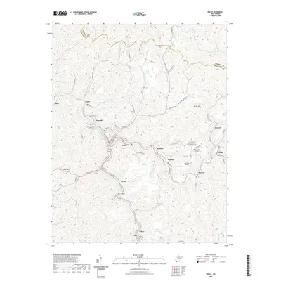
 2001 Gary2003 Print · USGSThe coal country of southern West Virginia is shown at the start of the 2000s, centered on the company towns and hollows of McDowell County. Trace the industrial landscape from the Tipple at Thorpe to the scattered settlements of Elbert, Filbert, and Newhall.
 - 2011 Map of Welch, 2011 Print
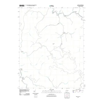
 2011 Welch2011 Print · USGSCovers Gary, including Welch, Kimball, and other nearby areas
 - 2011 Map of Gary, 2011 Print
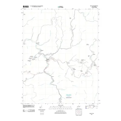
 2011 Gary2011 Print · USGSCovers Gary, including Filbert, Thorpe, and other nearby areas
 - 2014 Map of Welch, 2014 Print
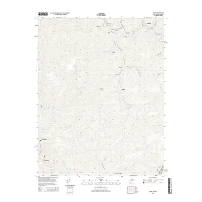
 2014 Welch2014 Print · USGSCovers Gary, including Welch, Kimball, and other nearby areas
 - 2014 Map of Gary, 2014 Print
 2014 Gary2014 Print · USGSCovers Gary, including Filbert, Thorpe, and other nearby areas
 - 2016 Map of Welch, 2016 Print
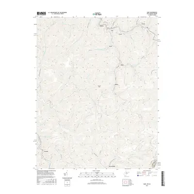
 2016 Welch2016 Print · USGSCovers Gary, including Welch, Kimball, and other nearby areas
 - 2016 Map of Gary, 2016 Print
 2016 Gary2016 Print · USGSCovers Gary, including Filbert, Thorpe, and other nearby areas
 - 2019 Map of Welch, 2019 Print
 2019 Welch2019 Print · USGSCovers Gary, including Welch, Kimball, and other nearby areas
 - 2019 Map of Gary, 2019 Print
 2019 Gary2019 Print · USGSCovers Gary, including Filbert, Thorpe, and other nearby areas
 - 2023 Map of Gary, 2023 Print
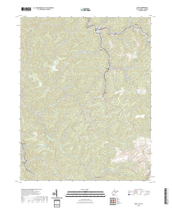 2023 Gary2023 Print · USGSSouthern West Virginia's coal-heritage corridor is shown here as it appears today, mapping the communities from Gary to Thorpe. Genealogists and researchers can trace local family landmarks through settlements like Filbert, Elbert, and Brewsterdale.
 - 2023 Map of Welch, 2023 Print
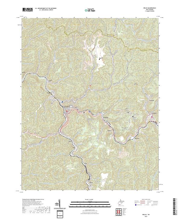 2023 Welch2023 Print · USGSMcDowell County's coal country comes into sharp focus during this era of modern topography and infrastructure. Genealogists can locate family sites near Old Belcher Mountain Community Cem or trace the river-bound settlements of Havaco and Wilcoe.
End of results
Showing maps 1-23 of 23
Top cities near Gary
- Bluefield historical maps
- Tazewell historical maps
- Welch historical maps
- Mullens historical maps
- Springville historical maps
- Gratton historical maps
See more
Top neighborhoods of Gary
Frequently asked questions
- What are the different types of historical maps available for Gary?
- What is the oldest map of Gary?
- Where can I purchase historical maps of Gary for my home or office?
- Where can I download high-res historical maps of Gary?
- Are there historical topographic maps available for Gary?
- Is there historical aerial imagery available for Gary?
- Where are historical maps of Gary sourced from?