2010s Maps of Bluefield, West Virginia
Explore 16 historic maps of Bluefield from the 2010s. These maps offer a rare glimpse into what life looked like during the 2010s — showing old roads, neighborhoods, homes, and landmarks that have changed or disappeared over time.
Whether you're researching your family's past, planning a metal detecting trip, or studying how Bluefield's landscape evolved across the 2010s, these high-resolution maps are a powerful tool for exploring the history of this region.
- Focus on a specific era: All maps on this page are from the 2010s, giving you a focused view of this time period.
- See what’s changed: Compare century-old streets, trails, and buildings to today's modern landscape using overlays and satellite layers.
- Research with precision: Use these maps for genealogy, historical research, land use analysis, or educational projects.
- View, download, or print: Maps are fully viewable online in high resolution, and can be downloaded or printed for your own records.
Start exploring Bluefield's history through authentic maps from the 2010s. This is your window into the past.
Bluefield, WV maps
(16)- 2011 Map of Bramwell, 2011 Print
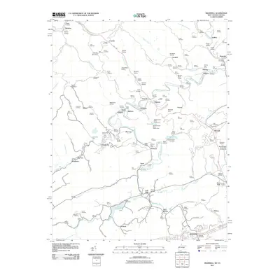 2011 Bramwell2011 Print · USGSThe West Virginia-Virginia borderlands are captured here in the early 2000s, showcasing the deep coal-mining heritage of Pocahontas and Bramwell. Local historians can trace family burial sites like Witten Cemetery or industrial markers such as the Pocahontas Mine and Flat Top Yards.
 - 2011 Map of Princeton, 2011 Print
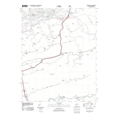 2011 Princeton2011 Print · USGSThe city of Princeton and the surrounding Mercer County ridges are captured here during the first decade of the 2000s. Genealogists and local historians can trace family ties through dozens of small cemeteries and rural settlements like Stumpy Bottom, Ingleside, and Lilly Grove.
 - 2011 Map of Bastian, 2011 Print
 2011 Bastian2011 Print · USGSBland and Mercer counties appear here in the early twenty-first century, centered on the community of Bastian at the base of Round Mountain. Genealogists and local historians can trace family locations near Rose Hill Cemetery and the hamlets of Hicksville and Byron.
 - 2011 Map of Bluefield, 2011 Print
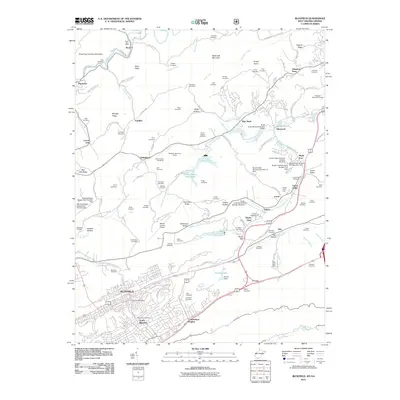 2011 Bluefield2011 Print · USGSBluefield and its northern hinterlands are shown here in the early twenty-first century, featuring a landscape of managed waterways and ridge-top settlements. Genealogists can trace family landmarks like Smith Chapel Cemetery, Johnston Town, and McQuire Cemetery.
 - 2013 Map of Bastian, 2013 Print
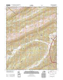 2013 Bastian2013 Print · USGSBastian and its surrounding mountain gaps are documented here in the early twenty-first century, showing the enduring layout of Appalachian valley settlements. Trace the former rail paths along Hunting Camp Cr and locate old communities like Stowersville and Grapefield.
 - 2014 Map of Bramwell, 2014 Print
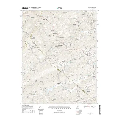 2014 Bramwell2014 Print · USGSThe West Virginia and Virginia borderlands were defined by the coal and rail industries of the mid-twenty-first century. Researchers can trace historic industrial sites and family heritage through the Exhibition Mine, the Flat Top Yards, and numerous sites like Pocahontas Cem.
 - 2014 Map of Princeton, 2014 Print
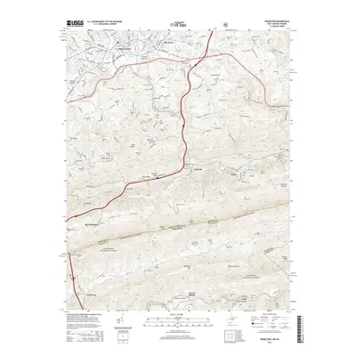 2014 Princeton2014 Print · USGSThe borderlands of West Virginia and Virginia are captured here in the early twenty-first century, showing the urban growth of Princeton against the backdrop of the Jefferson National Forest. Researchers can locate decades of local history in named sites like Elmore School, the East River Mountain Tunnel, and Oakwood Cem.
 - 2014 Map of Bluefield, 2014 Print
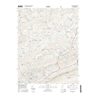 2014 Bluefield2014 Print · USGSBluefield and the Mercer County highlands are shown here in the mid-2010s, as the state line follows the ridges above a complex network of rail and hollows. Researchers can trace family sites at Roselawn Memorial Garden or locate the Mountaineer Speedway and Mercer County Airport.
 - 2016 Map of Bastian, 2016 Print
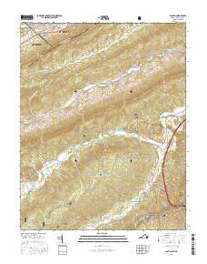 2016 Bastian2016 Print · USGSThe mountain borders of Virginia and West Virginia meet in this 2016 survey, documenting the rugged corridor between Bluefield and the Jefferson National Forest. Researchers can trace the layout of Bluefield College or locate landmarks like Rose Hill Cem and Hicksville along the southern creek beds.
 - 2016 Map of Princeton, 2016 Print
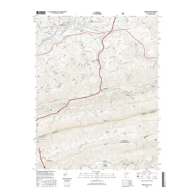 2016 Princeton2016 Print · USGSSouthern West Virginia meets the Virginia border in this contemporary survey of the Princeton area. Family historians can trace dozens of small family plots like Winfrey and Honaker cemeteries tucked between East River Mountain and Stumpy Bottom.
 - 2016 Map of Bluefield, 2016 Print
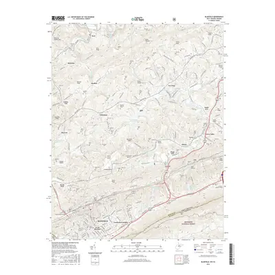 2016 Bluefield2016 Print · USGSBluefield and its surrounding Appalachian hollows are seen here in the mid-2010s, showing a landscape defined by ridge-top settlements and valley rails. Genealogists can trace family names at Smith Chapel Cem, Tabor Cem, and Lorton Lick.
 - 2016 Map of Bramwell, 2016 Print
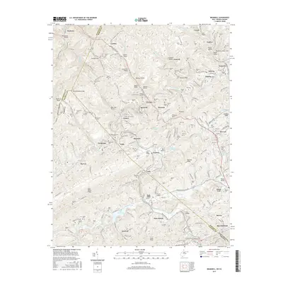 2016 Bramwell2016 Print · USGSThe coal country of the West Virginia-Virginia border thrives in this late twentieth-century landscape centered on Bramwell and Pocahontas. Genealogists and local historians can trace family locations through dozens of sites like Pocahontas Cem, Woodlawn Cem, and the old Nemours PO.
 - 2019 Map of Bastian, 2019 Print
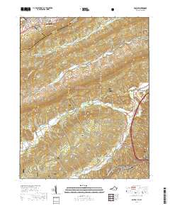 2019 Bastian2019 Print · USGSBluefield and the surrounding Jefferson National Forest are captured in this recent survey of the Virginia and West Virginia border. Genealogists and hikers can trace the Appalachian National Scenic Trail or locate family roots near Bastian and Rose Hill Cem.
 - 2019 Map of Bluefield, 2019 Print
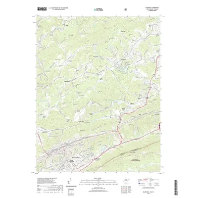 2019 Bluefield2019 Print · USGSBluefield and its surrounding ridges come into focus in the 2010s, showing the modern layout of this Appalachian transport hub. Researchers can trace family sites from Sandlick to Ceres, or locate landmarks like Horton Lake and the Grant Street Bridge.
 - 2019 Map of Princeton, 2019 Print
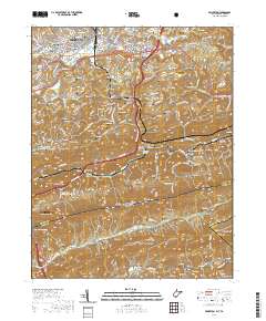 2019 Princeton2019 Print · USGSCovers Bluefield, including Princeton, Hardy, and other nearby areas
 - 2019 Map of Bramwell, 2019 Print
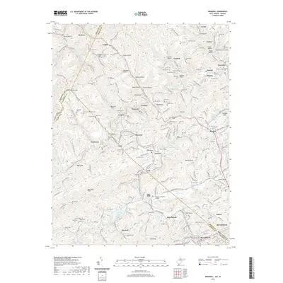 2019 Bramwell2019 Print · USGSThe coal country of the West Virginia and Virginia border comes into focus in this late twenty-tens survey. Genealogists and historians can trace family burial sites like Mount Tabor Cem or explore the geography of Bramwell, Pocahontas, and Maybeury.
End of results
Showing maps 1-16 of 16
Top cities near Bluefield
- Princeton historical maps
- Bluefield historical maps
- Athens historical maps
- Brush Fork historical maps
- Boissevain historical maps
- Pocahontas historical maps
See more
Top neighborhoods of Bluefield
Frequently asked questions
- What are the different types of historical maps available for Bluefield?
- What is the oldest map of Bluefield?
- Where can I purchase historical maps of Bluefield for my home or office?
- Where can I download high-res historical maps of Bluefield?
- Are there historical topographic maps available for Bluefield?
- Is there historical aerial imagery available for Bluefield?
- Where are historical maps of Bluefield sourced from?