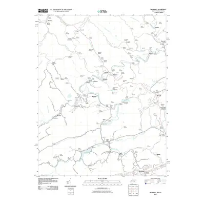
2011 Map of Bramwell
USGS Topo · Published 2011About this map
Pocahontas and Bramwell anchor this West Virginia borderland, where the industrial legacy of the Pocahontas Coalfield is etched into the landscape. The Pocahontas Mine and the sprawling rail infrastructure of the Norfolk Southern line, including the Flat Top Yards, reveal the 21st-century state of an area once defined by intense extraction. The topography is deeply dissected by drainages like Elkhorn Creek and Flipping Creek, creating numerous named hollows such as Booths Hollow and Buckeye Hollow that historically dictated the placement of small company towns and family homesteads.
Find a feature on this map
165 named features on this map. Tap any name to fly to it.
Don’t see what you’re looking for? This feature index may not catch every label — zoom into the map to look around manually.
Map Details
Editions of this 2011 Bramwell Map
This is the sole edition of this map. No revisions or reprints were ever made.
Other maps of this area

1887 · Pocahontas
USGS Topo · 1:125,000

1891 · Pocahontas
USGS Topo · 1:125,000

1894 · Pocahontas
USGS Topo · 1:125,000

1895 · Pocahontas
USGS Topo · 1:125,000

1909 · Pocahontas Special
USGS Topo · 1:48,000

1911 · Pocahontas Special
USGS Topo · 1:62,500

1913 · Bluefield
USGS Topo · 1:48,000

1916 · Bluefield
USGS Topo · 1:62,500

1924 · Bramwell
USGS Topo · 1:62,500

1924 · Bluefield
USGS Topo · 1:62,500