2000s (21st Century) Maps of Bluestone, West Virginia
Explore 6 historic maps of Bluestone from the 2000s (21st Century). These maps offer a rare glimpse into what life looked like during the 2000s — showing old roads, neighborhoods, homes, and landmarks that have changed or disappeared over time.
Whether you're researching your family's past, planning a metal detecting trip, or studying how Bluestone's landscape evolved across the 2000s, these high-resolution maps are a powerful tool for exploring the history of this region.
- Focus on a specific era: All maps on this page are from the 2000s, giving you a focused view of this time period.
- See what’s changed: Compare century-old streets, trails, and buildings to today's modern landscape using overlays and satellite layers.
- Research with precision: Use these maps for genealogy, historical research, land use analysis, or educational projects.
- View, download, or print: Maps are fully viewable online in high resolution, and can be downloaded or printed for your own records.
Start exploring Bluestone's history through authentic maps from the 2000s. This is your window into the past.
Bluestone, WV maps
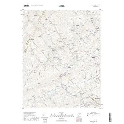
(6)- 2001 Map of Bramwell, 2003 Print
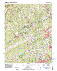 2001 Bramwell2003 Print · USGSThe West Virginia and Virginia borderlands come into focus at the turn of the millennium, revealing a landscape shaped by the coal industry and the winding Bluestone River. Genealogists can trace family names at Pocahontas Cem or find old community centers like Abbs Valley Sch and Mt Sinai Ch.
 - 2011 Map of Bramwell, 2011 Print
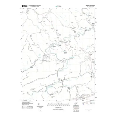 2011 Bramwell2011 Print · USGSCovers Bluestone, including Bluefield, Bluefield, and other nearby areas
 - 2014 Map of Bramwell, 2014 Print
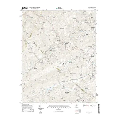 2014 Bramwell2014 Print · USGSCovers Bluestone, including Bluefield, Bluefield, and other nearby areas
 - 2016 Map of Bramwell, 2016 Print
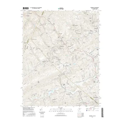 2016 Bramwell2016 Print · USGSCovers Bluestone, including Bluefield, Bluefield, and other nearby areas
 - 2019 Map of Bramwell, 2019 Print
 2019 Bramwell2019 Print · USGSCovers Bluestone, including Bluefield, Bluefield, and other nearby areas
 - 2023 Map of Bramwell, 2023 Print
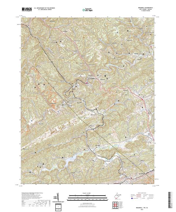 2023 Bramwell2023 Print · USGSThe coal country of the West Virginia and Virginia border comes into sharp focus in this detailed modern survey. Genealogists and local historians can trace family burial sites and old mining communities from Bramwell and Pocahontas to the Bryant Memorial Cem and Pinnacle Rock.
End of results
Showing maps 1-6 of 6
Top cities near Bluestone
- Bluefield historical maps
- Princeton historical maps
- Bluefield historical maps
- Tazewell historical maps
- Welch historical maps
- Brush Fork historical maps
See more
Frequently asked questions
- What are the different types of historical maps available for Bluestone?
- What is the oldest map of Bluestone?
- Where can I purchase historical maps of Bluestone for my home or office?
- Where can I download high-res historical maps of Bluestone?
- Are there historical topographic maps available for Bluestone?
- Is there historical aerial imagery available for Bluestone?
- Where are historical maps of Bluestone sourced from?