Old Maps of Sulphur City, West Virginia for Genealogy
Trace your family roots with 19 historic maps of Sulphur City. These high-res maps reveal old neighborhoods, homesites, landmarks, and streets — helping you uncover where your ancestors lived and how the area evolved over time.
- Explore historic neighborhoods: Identify where your relatives may have lived in the 1800s or 1900s.
- Compare maps over time: Trace the changes in streets, buildings, and landmarks for multi-generational research.
- Perfect for genealogy & ancestry research: Used by family historians and researchers to map out lineage and migration.
These maps are an incredible resource for exploring your personal connection to Sulphur City's past.
Sulphur City, WV maps
(19)- 1895 Map of Piedmont
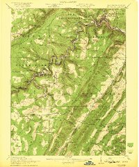
 1895 Piedmont1895 Print · USGSThe West Virginia and Maryland borderlands come to life in the 1890s, when coal and timber drove the expansion of the Potomac River valleys. Genealogists can trace the early industrial roots of Piedmont, locate the historic Fairfax Stone, or find the long-lost operations at Rees Tannery.4 unique versions available
 - 1919 Map of Elk Garden
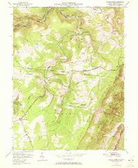
 1919 Elk Garden1919 Print · USGSThe Potomac River corridor in the years following the Great War reveals a landscape defined by rail and ridge. Genealogists can trace family names at Rehoboth Church or locate vanished school sites like Terra Firma School and Empire School.2 unique versions available
 - 1920 Map of Elk Garden
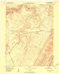
 1920 Elk Garden1920 Print · USGSThe West Virginia highlands and the Potomac River border are captured here just after the Great War, during the peak of the rail-and-coal era. Genealogists can locate numerous rural landmarks including Elk Garden, Rehoboth Church, and the Nethken School.
 - 1922 Map of Elk Garden
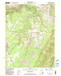
 1922 Elk Garden1922 Print · USGSThe Potomac River highlands come to life in the early 1920s as rail and river industry define the border between Maryland and West Virginia. Genealogists and local historians can trace family roots through numerous small schools and churches like Sunnyside School, Mt Pisgah Church, and Hartmansville.2 unique versions available
 - 1948 Map of Cumberland
 1948 Cumberland1948 Print · USGSMid-century Appalachia and the Shenandoah Valley are shown in detail, documenting the industrial and transportation hubs of the tri-state area. Genealogists can trace family roots through settlements like Double Tollgate and Bunker Hill or along the Baltimore & Ohio RR.3 unique versions available
 - 1949 Map of Mount Storm, 1972 Print
 1949 Mount Storm1972 Print · USGSThe West Virginia highlands are captured here in the late 1940s, showing the industrial pulse of the coal mines along the Allegheny Front. Genealogists can trace local roots through the White Hall Sch and family sites like the Dixon Cem or Schaeffer Cem.4 unique versions available
 - 1951 Map of Mount Storm
 1951 Mount Storm1951 Print · USGSThe coal and rail corridor of the West Virginia mountains comes into focus during the early postwar years. Researchers can trace family sites like Schaeffer Cem, rural schools such as White Hall Sch, and early mining operations near Emoryville.
 - 1952 Map of Cumberland
 1952 Cumberland1952 Print · USGSThe Potomac Highlands and the Shenandoah Valley are revealed in this early 1950s survey of the Appalachian interior. Researchers can trace the river-and-rail corridors connecting Cumberland, Winchester, and the recreational waters of Deep Creek Lake.
 - 1956 Map of Cumberland, 1966 Print
 1956 Cumberland1966 Print · USGSThe tri-state Highlands in the mid-1950s show a landscape shaped by coal, timber, and the massive presence of the Baltimore & Ohio RR. Researchers can trace the industrial corridor from Cumberland through the Allegheny Mountains to mountain retreats like Deep Creek Lake.6 unique versions available
 - 1957 Map of Cumberland
 1957 Cumberland1957 Print · USGSThe Potomac River valley and the ridges of the Allegheny Front define this mid-century landscape at the intersection of Maryland, West Virginia, and Pennsylvania. Trace the steam-era rail lines of the Baltimore and Ohio RR or locate rural landmarks like St Stephens Church and Stony River Dam.
 - 1961 Map of Cumberland
 1961 Cumberland1961 Print · USGSThe tri-state highlands of Maryland, West Virginia, and Pennsylvania are shown in the mid-twentieth century as a complex landscape of ridges and river valleys. Researchers can trace the winding Potomac River and find old rail-and-river towns like Cumberland, Keyser, and Morgantown.
 - 1962 Map of Cumberland
 1962 Cumberland1962 Print · USGSThe central Appalachians meet at the height of the mid-century industrial era, showing the rugged topography between Morgantown and Winchester. Genealogists can trace family lands near Fort Necessity or along the vital Baltimore & Ohio RR corridors.
 - 1981 Map of Kingwood, 1982 Print
 1981 Kingwood1982 Print · USGSThe West Virginia highlands in the early eighties were a hub of mountain railroading and wilderness conservation. Trace the path of the Baltimore & Ohio RR through Kingwood or explore the early footprints of Canaan Valley State Park and Dolly Sods.
 - 1997 Map of Mount Storm, 2001 Print
 1997 Mount Storm2001 Print · USGSMount Storm and the West Virginia-Maryland borderlands appear in the late nineties, showing a landscape defined by ridge-top highways and industrial activity. Genealogists can trace family landmarks at Nethkin Cem, White Hall Sch, and Rehoboth Ch.
 - 2011 Map of Mount Storm, 2011 Print
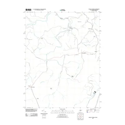 2011 Mount Storm2011 Print · USGSCovers Sulphur City, including Mount Pisgah, Crosstown, and other nearby areas
 - 2014 Map of Mount Storm, 2014 Print
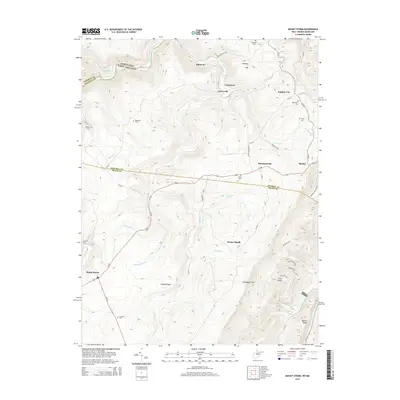 2014 Mount Storm2014 Print · USGSCovers Sulphur City, including Mount Pisgah, Crosstown, and other nearby areas
 - 2016 Map of Mount Storm, 2016 Print
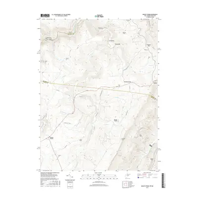 2016 Mount Storm2016 Print · USGSCovers Sulphur City, including Mount Pisgah, Crosstown, and other nearby areas
 - 2019 Map of Mount Storm, 2019 Print
 2019 Mount Storm2019 Print · USGSCovers Sulphur City, including Mount Pisgah, Crosstown, and other nearby areas
 - 2023 Map of Mount Storm, 2023 Print
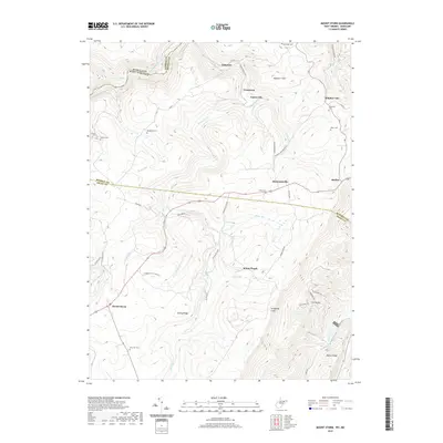
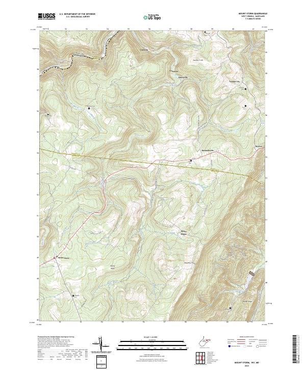 2023 Mount Storm2023 Print · USGSThe Potomac headwaters and the steep rise of the Allegheny Front define this corner of West Virginia. Researchers can trace family history through a network of small burial grounds like Murphy Cem and Evans Cem near the mountain community of Mount Storm.
End of results
Showing maps 1-19 of 19
Top cities near Sulphur City
- Keyser historical maps
- Westernport historical maps
- Lonaconing historical maps
- Piedmont historical maps
- McCoole historical maps
- Barton historical maps
See more
Frequently asked questions
- What are the different types of historical maps available for Sulphur City?
- What is the oldest map of Sulphur City?
- Where can I purchase historical maps of Sulphur City for my home or office?
- Where can I download high-res historical maps of Sulphur City?
- Are there historical topographic maps available for Sulphur City?
- Is there historical aerial imagery available for Sulphur City?
- Where are historical maps of Sulphur City sourced from?