Old Maps of Williamson, West Virginia for Metal Detecting
Plan your next treasure hunt with 25 historic maps of Williamson. Find old homesites, ghost towns, trails, and gathering spots that may be lost to time — perfect for identifying promising metal detecting locations.
- Locate forgotten sites: Uncover places like long-lost settlements, abandoned rail lines, or gathering spots.
- Plan better hunts: Use map overlays combined with LiDAR or satellite views to narrow in on historically rich areas.
- Made for detectorists: Thousands of hobbyists use these maps to discover relics, coins, and hidden history.
Use these historic maps to boost your research and find new opportunities beneath the surface of Williamson.
Williamson, WV maps
(25)- 1887 Map of Warfield
 1887 Warfield1887 Print · USGSThe West Virginia and Kentucky borderlands come into focus in the late nineteenth century along the winding Tug Fork of Big Sandy River. Genealogists and historians can trace early valley life through sites like Warfield, Chapmansville, and the remote White Post settlement.
 - 1891 Map of Warfield
 1891 Warfield1891 Print · USGSThe Tug Fork valley in the 1880s is captured here at the intersection of Kentucky and West Virginia. Researchers can trace the early Appalachian landscape through riverfront settlements like Warfield and White Post, or find family-named hubs such as Hatfield and Mate.7 unique versions available
 - 1909 Map of Matewan
 1909 Matewan1909 Print · USGSMingo County was a landscape of coal camps and rail sidings during the first decade of the twentieth century. Researchers can trace early family homesites near Thacker Mines, Red Jacket, and the small post offices at Edgarton and Okeeffe.
 - 1915 Map of Williamson
 1915 Williamson1915 Print · USGSThe borderlands of the Tug Fork river come alive in this early century survey of the Central Appalachian coal country. Genealogists and local historians can trace the early rail-side growth of Williamson, Chattaroy, and Nolan along the Norfolk and Western Ry.2 unique versions available
 - 1915 Map of Matewan
 1915 Matewan1915 Print · USGSThe industrial coalfields of Mingo County and the Kentucky border are documented here during the height of the early twentieth-century boom. Genealogists and historians can trace rail-side communities and mining operations like Thacker Mines, Red Jacket, and the Blackberry Fork School.
 - 1917 Map of Matewan
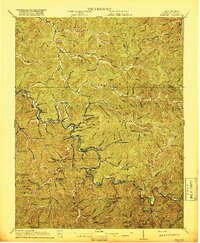 1917 Matewan1917 Print · USGSThe Tug Fork valley in the 1910s was a bustling corridor of coal production and rail activity along the West Virginia and Kentucky border. Genealogists and historians can trace the foundations of coal-camp life at Thacker Mines, the winding Norfolk and Western RR, and local landmarks like the Hatfield School.2 unique versions available
 - 1918 Map of Williamson
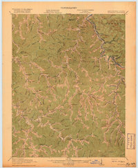 1918 Williamson1918 Print · USGSThe Tug Fork river valley at the Kentucky-West Virginia border comes alive in this survey from the era of the Great War. Researchers can trace the path of the Norfolk and Western RR through Williamson or locate rural schools like Hammon Manor School and the Pinson Fork P O Peg Sta.3 unique versions available
 - 1928 Map of Matewan
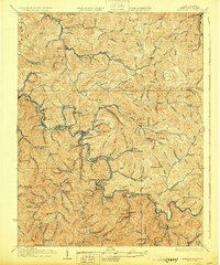 1928 Matewan1928 Print · USGSCoal and rail define the rugged borderlands of the West Virginia-Kentucky line in the late 1920s. Genealogists can trace family footprints at Puritan Mines, Matewan, and the many hollow schools like Hatfield Sch and Red Jacket Sch.4 unique versions available
 - 1954 Map of Williamson, 1955 Print
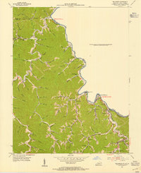 1954 Williamson1955 Print · USGSThe Tug Fork valley at the Kentucky-West Virginia border shows a landscape of coal-town growth and hollow settlements in the mid-1950s. Genealogists can locate family landmarks like Stepp Cem and Scott Cem, or trace the rail-side life of New Camp, Leckieville, and Belfry.2 unique versions available
 - 1957 Map of Jenkins, 1974 Print
 1957 Jenkins1974 Print · USGSThe Cumberland Plateau in the mid-twentieth century reveals a complex landscape of winding river valleys and deep-seated industry. Genealogists and historians can trace the development of Hazard, Jenkins, and Pikeville alongside extensive Numerous Oil and Gas Fields and the routes of the Chesapeake & Ohio Railway.
 - 1960 Map of Jenkins
 1960 Jenkins1960 Print · USGSEastern Kentucky and the West Virginia borderlands are captured at a mid-century peak of the coal and rail era. Trace the industrial corridors of the Chesapeake and Ohio RR through mountain hubs like Hazard and Jenkins.
 - 1963 Map of Delbarton, 1964 Print
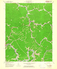 1963 Delbarton1964 Print · USGSMingo County mining communities and rail corridors are captured here in the mid-1960s as they follow the winding Tug Fork. Genealogists can trace family locations near Lando Mines, Elk Creek Ch, and family sites like McCoy Cem or Yates Cem.3 unique versions available
 - 1964 Map of Williamson, 1965 Print
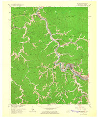 1964 Williamson1965 Print · USGSMingo and Pike Counties come alive in the mid-sixties, following the winding Tug Fork as coal and rail define the local landscape. Genealogists and historians can trace family-named hollows and settlements like Nolan, Leckieville, and Hatfield along the Norfolk and Western line.4 unique versions available
 - 1982 Map of Williamson, 1983 Print
 1982 Williamson1983 Print · USGSThe Central Appalachian coalfields of West Virginia and Kentucky come into sharp focus here during the early eighties. Genealogists and researchers can trace the valley rail networks of the Norfolk and Western RR through Matewan, Williamson, and Blackberry City.
 - 1992 Map of Williamson
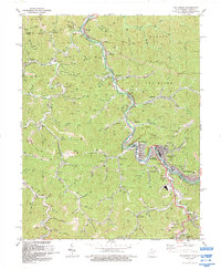 1992 Williamson1992 Print · USGSThe industrial heart of Mingo County is captured here in the early nineties, centered on the river-and-rail hub of Williamson. Genealogists and historians can trace the development of border towns like Nolan, Goodman, and Belfry along the Tug Fork.
 - 2010 Map of Delbarton, 2010 Print
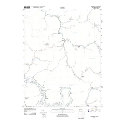 2010 Delbarton2010 Print · USGSMingo County’s steep valleys and coal-mining heritage are on full display in this early twenty-first-century survey of the Tug Fork region. Researchers can trace family history through numerous hillside burial sites like Phillips Cemetery and locate historic community hubs including Puritan Mines and the Red Jacket Post Office.
 - 2011 Map of Williamson, 2011 Print
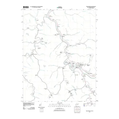 2011 Williamson2011 Print · USGSThe Tug Fork valley along the West Virginia and Kentucky border shows its established settlement patterns in the early 2000s. Genealogists can locate numerous family burial sites such as Goff Cemetery and Hayes Lowe Cemetery, alongside historic hubs like Chattaroy and Nolan.
 - 2014 Map of Williamson, 2014 Print
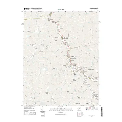 2014 Williamson2014 Print · USGSThe Tug Fork borderland near the turn of the twenty-first century reveals a dense network of valley settlements and riverside infrastructure. Researchers can trace dozens of family-named landmarks and cemeteries like Goff Cem, or locate crossings such as the Nolan Toll Bridge.
 - 2014 Map of Delbarton, 2014 Print
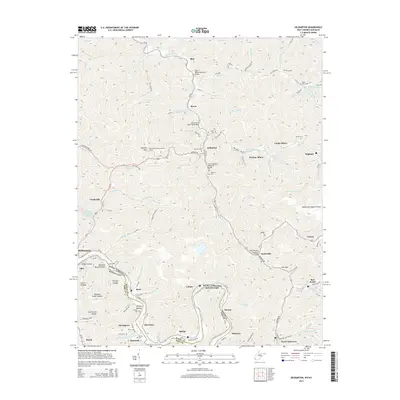 2014 Delbarton2014 Print · USGSMingo County and the Kentucky border are documented here in the mid-2010s as the regional coal landscape and aviation hubs evolve. Researchers can trace family history at Marcum Cem or locate industrial sites like Puritan Mines and Cinderella.
 - 2016 Map of Delbarton, 2016 Print
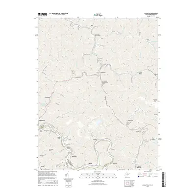 2016 Delbarton2016 Print · USGSMingo County coal country comes into focus in this recent survey, showing the deep hollows and mining operations of the Tug Fork valley. Researchers can trace family history at the Estep Cem or locate the industrial footprint of the Lando Mines and Cinderella.
 - 2016 Map of Williamson, 2016 Print
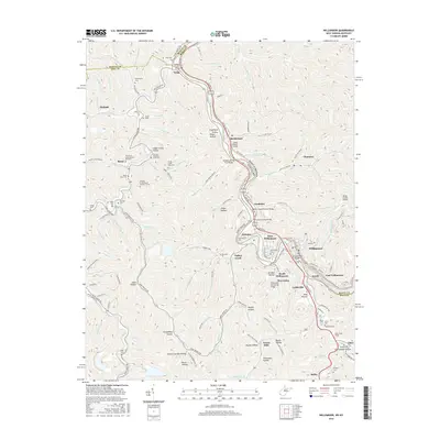 2016 Williamson2016 Print · USGSThe Tug Fork valley serves as a bustling coal-country corridor along the West Virginia and Kentucky border during the mid-2010s. Genealogists and historians can trace numerous family burial grounds like Thomas Shermon Lowe Cem and infrastructure including the Pond Creek Tunnel and Nolan Toll Bridge.
 - 2019 Map of Delbarton, 2019 Print
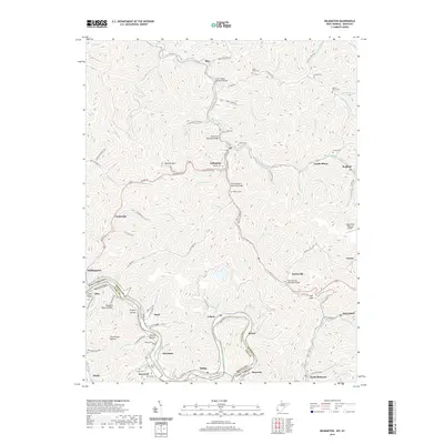 2019 Delbarton2019 Print · USGSThe Tug Fork borderlands in the late 2010s show a landscape of steep hollows and coal country settlements. Researchers can trace deep family roots through numerous mountain burial sites like McCoy Cem and Farley Cem, or locate the historic Lando Mines.
 - 2019 Map of Williamson, 2019 Print
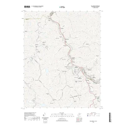 2019 Williamson2019 Print · USGSThe Tug Valley during the late 2010s shows a landscape defined by the Tug Fork river and the Norfolk Southern rail line. Genealogists can locate numerous family sites like the Stepp-Vance Cem and the Tandy Sester Alley Cem among the steep hollows.
 - 2023 Map of Williamson, 2023 Print
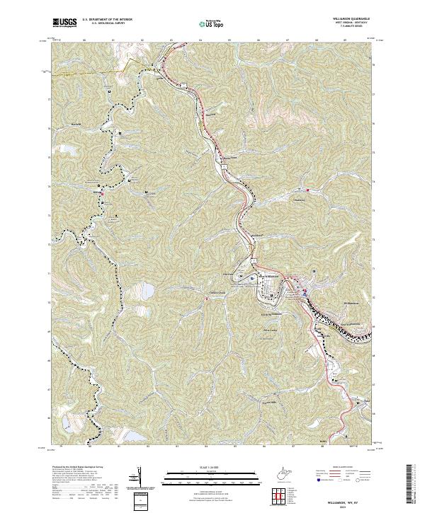 2023 Williamson2023 Print · USGSThe Tug Fork borderlands near the West Virginia and Kentucky line are shown here in recent detail. Genealogists can trace family landmarks across the hollows, including the Stepp Vance Cem, Tandy Sester Alley Cem, and the old settlement at Borderland.
 - 2023 Map of Delbarton, 2023 Print
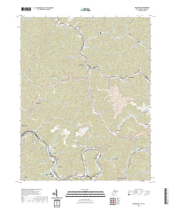 2023 Delbarton2023 Print · USGSThe rugged coal country of Mingo County is mapped in detail during the early 2020s, tracing the winding Tug Fork and Pigeon Creek. Genealogists and local historians can locate family cemeteries like McCoy Cem and industrial landmarks like Lando Mines.
End of results
Showing maps 1-25 of 25
Top cities near Williamson
- Pikeville historical maps
- Holden historical maps
- Chattaroy historical maps
- Red Jacket historical maps
- Matewan historical maps
- Delbarton historical maps
See more
Top neighborhoods of Williamson
- Goodman historical maps
- West Williamson historical maps
- East Williamson historical maps
- Fairview historical maps
- Williamson Terrace historical maps
- Victoria Court historical maps
Frequently asked questions
- What are the different types of historical maps available for Williamson?
- What is the oldest map of Williamson?
- Where can I purchase historical maps of Williamson for my home or office?
- Where can I download high-res historical maps of Williamson?
- Are there historical topographic maps available for Williamson?
- Is there historical aerial imagery available for Williamson?
- Where are historical maps of Williamson sourced from?