Old Maps of Summersville, West Virginia for Metal Detecting
Plan your next treasure hunt with 25 historic maps of Summersville. Find old homesites, ghost towns, trails, and gathering spots that may be lost to time — perfect for identifying promising metal detecting locations.
- Locate forgotten sites: Uncover places like long-lost settlements, abandoned rail lines, or gathering spots.
- Plan better hunts: Use map overlays combined with LiDAR or satellite views to narrow in on historically rich areas.
- Made for detectorists: Thousands of hobbyists use these maps to discover relics, coins, and hidden history.
Use these historic maps to boost your research and find new opportunities beneath the surface of Summersville.
Summersville, WV maps
(25)- 1889 Map of Nicholas
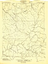
 1889 Nicholas1889 Print · USGSNicholas County and parts of the surrounding highlands are documented here in the late nineteenth century. Genealogists can trace family landmarks and river life through recorded sites like Carnifax Ferry, Beaver Mills, and Mt. Nebo.
 - 1891 Map of Nicholas
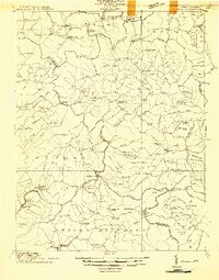
 1891 Nicholas1891 Print · USGSNicholas County and the surrounding highlands are captured here in the late nineteenth century, when mountain life depended on a network of river crossings. Genealogists can trace family roots through sites like Nicholas C.h., Hookersville, and early river crossings such as Carnifax Ferry.
 - 1901 Map of Nicholas
 1901 Nicholas1901 Print · USGSCentral West Virginia's river valleys and high ridges are shown here at the turn of the century as the timber industry expanded. Genealogists can trace family landmarks and river crossings like Camden on Gauley, Wainville P.O., and Bays Ferry Ford.3 unique versions available
 - 1913 Map of Summersville
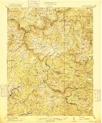
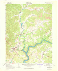
 1913 Summersville1913 Print · USGSNicholas County and its rural crossroads are documented here in the early twentieth century, showing a network of mountain communities and schools. Researchers can locate family landmarks and early infrastructure like Persinger Ford, Beulah Church, and the Lone Star School.3 unique versions available
 - 1914 Map of Winona
 1914 Winona1914 Print · USGSCentral West Virginia's rugged highlands are captured here just as the timber industry began to reshape the landscape. Local historians can trace early mountain life through dozens of named schools like Bean School and crossings such as Carnefix Ferry and Raders Ford.2 unique versions available
 - 1915 Map of Summersville
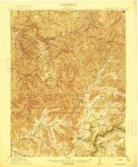 1915 Summersville1915 Print · USGSNicholas County at the start of the Great War was a landscape of high ridges and isolated mountain hollows. Genealogists can locate family homesteads near numerous local institutions like Eberly School or trace old river crossings at Persinger Ford.3 unique versions available
 - 1916 Map of Winona
 1916 Winona1916 Print · USGSNicholas and Fayette Counties are documented here before the mid-century industrial shifts, showing a world of river crossings and mountain schools. Genealogists can trace family footprints at Carnifex Ferry, Withrows Mill, and dozens of rural sites like Nutterville.3 unique versions available
 - 1954 Map of Charleston
 1954 Charleston1954 Print · USGSWest Virginia’s industrial heart and mountain highlands are captured here during the mid-fifties, centered on the capital city. Researchers can trace historic river-and-rail corridors along the Kanawha River and locate remote peaks within the Monongahela National Forest.
 - 1957 Map of Charleston, 1966 Print
 1957 Charleston1966 Print · USGSMid-century West Virginia unfolds along the industrial Kanawha River valley and into the high Allegheny Mountains. Genealogists and historians can trace the vital rail lines of the Chesapeake and Ohio and locate riverside settlements from Saint Albans to Buckhannon.3 unique versions available
 - 1958 Map of Charleston
 1958 Charleston1958 Print · USGSMid-century West Virginia is defined here by the industrial corridor of the Kanawha River and the high ridges of the Allegheny Mountains. Researchers can trace the rail networks of the New York Central or locate remote highland communities like Pickens and Hillsboro.
 - 1961 Map of Charleston
 1961 Charleston1961 Print · USGSWest Virginia's capital region and the highlands to the east are shown in detail during the early sixties. Genealogists and historians can trace rail networks like the Baltimore and Ohio RR and find early state parks such as Watoga State Park.
 - 1967 Map of Summersville, 1968 Print
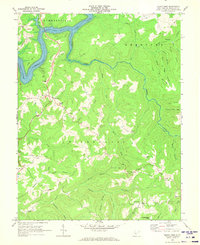
 1967 Summersville1968 Print · USGSNicholas County at the peak of its coal-and-gas era shows a landscape undergoing significant change as Summersville Lake fills the Gauley valley. Genealogy researchers can trace family landmarks like Lonetree Mtn, Beulah Ch, and the Glade Creek Sch.2 unique versions available
 - 1969 Map of Mount Nebo, 1973 Print
 1969 Mount Nebo1973 Print · USGSNicholas County's rural highlands are captured here in the late sixties as recreation grew around Summersville Lake. Genealogists can trace family names and sites from Mount Nebo to quiet landmarks like Dixon Chapel, Runa, and Spruce Grove Cem & Ch.2 unique versions available
 - 1979 Map of Marlinton, 1982 Print
 1979 Marlinton1982 Print · USGSThe West Virginia highlands are shown in detail during the late seventies, featuring the dense rail networks and mountain towns of the Allegheny range. Researchers can trace family roots through sites like Buckeye Cem, Mount Nebo Ch, and the lumber and coal hubs of Richwood and Rainelle.
 - 1996 Map of Summersville, 2003 Print
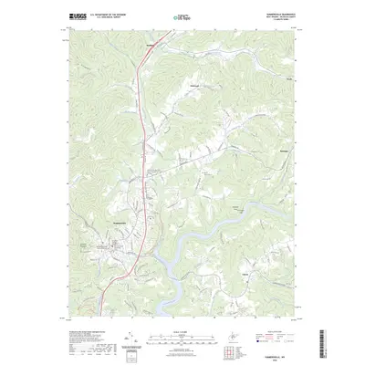
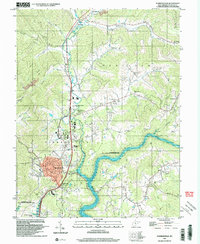 1996 Summersville2003 Print · USGSSummersville and the Gauley River valley are captured in the late nineties as a mix of growing town centers and rural mountain communities. Trace family roots and local industry through the Glade Creek Sch, small mines, and numerous rural churches like St Martins Ch.
 - 2010 Map of Summersville, 2010 Print
 2010 Summersville2010 Print · USGSCovers Summersville, including Persinger Ford, Canvas, and other nearby areas
 - 2011 Map of Mount Nebo, 2011 Print
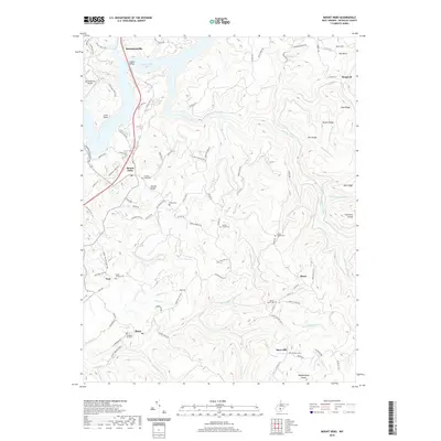
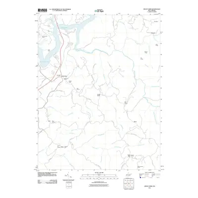 2011 Mount Nebo2011 Print · USGSCovers Summersville, including Deepwell, Bruce, and other nearby areas
 - 2014 Map of Mount Nebo, 2014 Print
 2014 Mount Nebo2014 Print · USGSCovers Summersville, including Deepwell, Bruce, and other nearby areas
 - 2014 Map of Summersville, 2014 Print
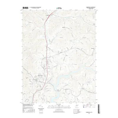
 2014 Summersville2014 Print · USGSCovers Summersville, including Persinger Ford, Canvas, and other nearby areas
 - 2016 Map of Mount Nebo, 2016 Print
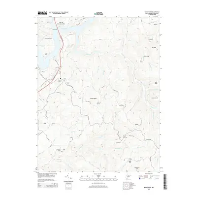
 2016 Mount Nebo2016 Print · USGSCovers Summersville, including Deepwell, Bruce, and other nearby areas
 - 2016 Map of Summersville, 2016 Print
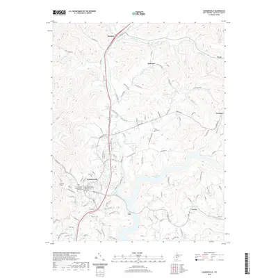
 2016 Summersville2016 Print · USGSCovers Summersville, including Persinger Ford, Canvas, and other nearby areas
 - 2019 Map of Mount Nebo, 2019 Print
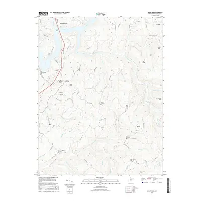
 2019 Mount Nebo2019 Print · USGSCovers Summersville, including Deepwell, Bruce, and other nearby areas
 - 2019 Map of Summersville, 2019 Print
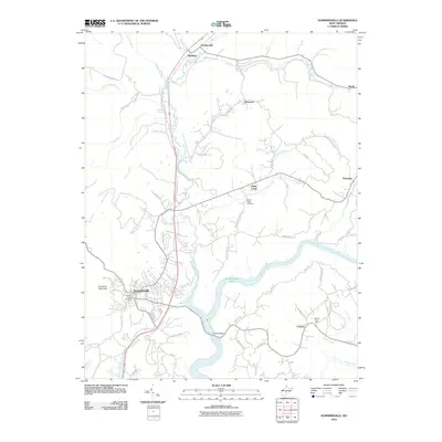
 2019 Summersville2019 Print · USGSCovers Summersville, including Persinger Ford, Canvas, and other nearby areas
 - 2023 Map of Summersville, 2023 Print
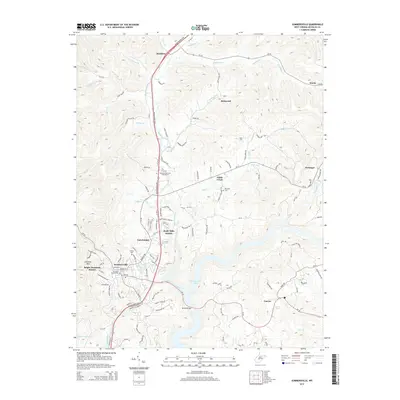
 2023 Summersville2023 Print · USGSSummersville and the Gauley River valley are captured in this contemporary topographic record of Nicholas County. Researchers can trace the civic center around the Nicholas County Courthouse or locate family sites at Groves Cem and the historic Persinger Ford.
 - 2023 Map of Mount Nebo, 2023 Print
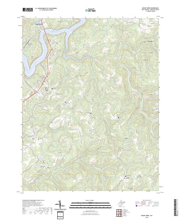 2023 Mount Nebo2023 Print · USGSNicholas County settlements and ridge-top communities are captured here in the early twenty-first century. Genealogists can locate family burial grounds like Gilgal Cem and Hickory Grove Cem or trace the rural routes connecting Runa, Bruce, and Pool.
End of results
Showing maps 1-25 of 25
Top cities near Summersville
- Craigsville historical maps
- Quinwood historical maps
- Persinger Ford historical maps
- Groves Ford historical maps
Top neighborhoods of Summersville
- Holly Hills Estates historical maps
- Pine Trailer Park historical maps
- Bright Mountain Estates historical maps
- Tara Estates historical maps
Frequently asked questions
- What are the different types of historical maps available for Summersville?
- What is the oldest map of Summersville?
- Where can I purchase historical maps of Summersville for my home or office?
- Where can I download high-res historical maps of Summersville?
- Are there historical topographic maps available for Summersville?
- Is there historical aerial imagery available for Summersville?
- Where are historical maps of Summersville sourced from?