Old Maps of Dry Run, West Virginia for Hiking & Exploration
Hike through history with 14 historic maps of Dry Run. Explore old trails, ghost towns, and forgotten backroads — perfect for outdoor adventurers and local explorers.
- Rediscover forgotten places: Map out old mining camps, roads, and footpaths that no longer exist on modern maps.
- Layer with modern tools: Combine with LiDAR or satellite views to plan hikes through historical terrain.
- Made for exploration: Popular among hikers, overlanders, and local history lovers.
Use these maps to find adventure and explore the hidden past of Dry Run.
Dry Run, WV maps
(14)- 1889 Map of Beverly
 1889 Beverly1889 Print · USGSThe high Allegheny ridges and river forks of West Virginia are mapped here in the late 1880s, highlighting the rugged settlement patterns of Randolph and Pocahontas counties. Researchers can trace early family-named locations such as Days Mills, locate the Boundary Line In Dispute, and find remote outposts like Traveller's Repose.
 - 1892 Map of Beverly
 1892 Beverly1892 Print · USGSCentral West Virginia's high-mountain settlements and disputed county lines are captured here in the late nineteenth century. Genealogists and historians can trace family locations and early industry near Beverly, Huttonsville, and the remote Days Mills.5 unique versions available
 - 1922 Map of Spruce Knob
 1922 Spruce Knob1922 Print · USGSThe Potomac Highlands are seen here in the early 1920s, a period defined by small mountain gaps and high-altitude settlements. Researchers can trace rural life through dozens of sites like Osceola Po, Winterburn Station, and the isolated Ridge Church.3 unique versions available
 - 1924 Map of Spruce Knob
 1924 Spruce Knob1924 Print · USGSThe Allegheny high country comes alive in the mid-twenties, centered on the heights of Spruce Knob and the North Fork River. Genealogists can trace family footprints at Osceola PO, Rexrode, and numerous mountain schools like Stark School.2 unique versions available
 - 1949 Map of Charlottesville
 1949 Charlottesville1949 Print · USGSThe Shenandoah Valley and Blue Ridge appear in the late 1940s as a thriving corridor of rail and river commerce. Researchers can trace the mid-century footprints of Harrisonburg, Staunton, and Culpeper alongside the historic routes of the Southern Railway.2 unique versions available
 - 1956 Map of Charlottesville, 1966 Print
 1956 Charlottesville1966 Print · USGSThe Shenandoah Valley and Blue Ridge are captured in detail during the mid-1960s as the modern interstate system began to emerge. Genealogists and historians can trace rail-connected hubs like Waynesboro or follow the river paths of the Rapidan River and Rivanna River.4 unique versions available
 - 1969 Map of Snowy Mountain, 1971 Print
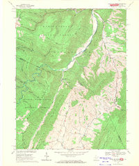 1969 Snowy Mountain1971 Print · USGSThe West Virginia and Virginia borderlands were still characterized by remote mountain settlements and national forest tracts in the late sixties. Genealogists and hikers can trace the paths between Hardscrabble, Dry Run Ch, and the high peak of Snowy Mountain.2 unique versions available
 - 1981 Map of Elkins, 1983 Print
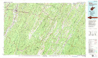 1981 Elkins1983 Print · USGSThe West Virginia mountains in the early eighties were a hub of rail-based industry and emerging conservation lands. Genealogists and historians can trace the paths of the Western Maryland RR through Elkins and locate small upland communities like Harpertown, Bowden, and Wymer.
 - 1995 Map of Snowy Mountain, 1998 Print
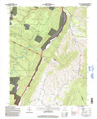 1995 Snowy Mountain1998 Print · USGSThe West Virginia and Virginia borderlands near the South Branch Potomac River are captured here in the 1990s. Researchers can trace rural life through the locations of Dry Run Ch, Hardscrabble, and Elk Mtn Chapel tucked against Snowy Mountain.
 - 2011 Map of Snowy Mountain, 2011 Print
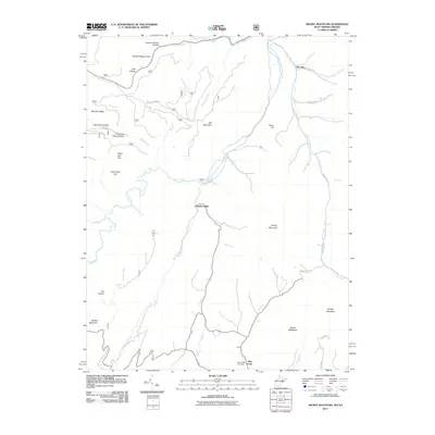 2011 Snowy Mountain2011 Print · USGSThe West Virginia and Virginia borderlands come into focus in the early 2000s, showing the high-elevation settlements of the Potomac highlands. Researchers can trace family history through the Blue Grass Cemetery or locate old homesteads near Hardscrabble and Devils Backbone.
 - 2014 Map of Snowy Mountain, 2014 Print
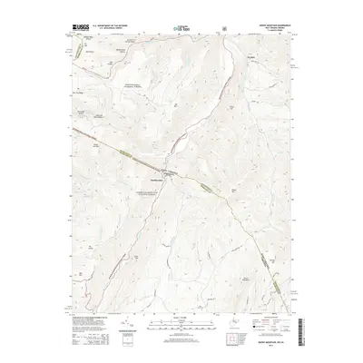 2014 Snowy Mountain2014 Print · USGSThe high ridges of the Alleghenies define this 2010s survey of the West Virginia and Virginia borderlands. Local history researchers can trace the winding paths of Hardscrabble Rd, locate Blue Grass Cem, and explore the terrain around Snowy Mtn.
 - 2016 Map of Snowy Mountain, 2016 Print
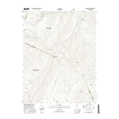 2016 Snowy Mountain2016 Print · USGSPendleton County's high ridges and river headwaters are captured here during the mid-2010s. Researchers can trace rural settlement patterns in Bluegrass Valley and locate family landmarks such as the Blue Grass Cem and River Hill.
 - 2019 Map of Snowy Mountain, 2019 Print
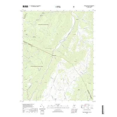 2019 Snowy Mountain2019 Print · USGSPendleton County, West Virginia and Highland County, Virginia meet at this high mountain divide in the late twenty-tens. Local historians can trace family-named sites like Hendrick Farm Spring, the Blue Grass Cem, and the high pastures of Bluegrass Valley.
 - 2023 Map of Snowy Mountain, 2023 Print
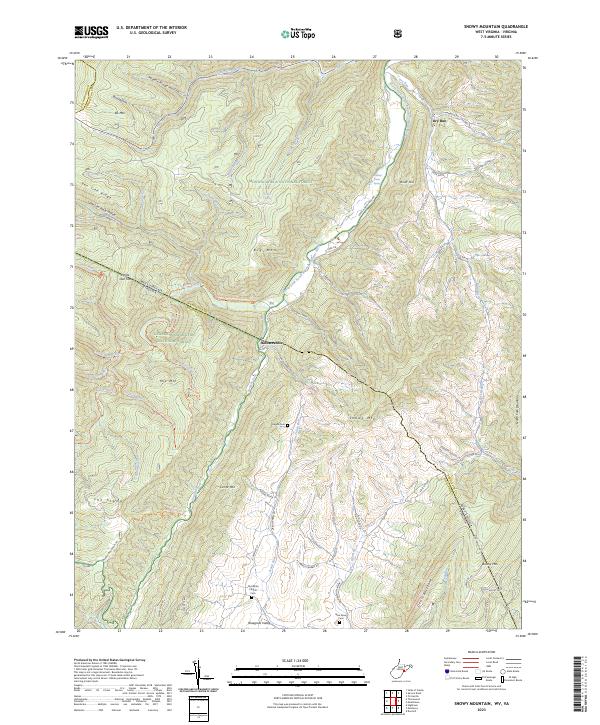 2023 Snowy Mountain2023 Print · USGSThe West Virginia and Virginia borderlands come alive in this detailed topographic study of the Allegheny ridges and valleys. Genealogists and local historians can trace the foundations of Bluegrass Valley through landmarks like the Old White Church and Heyde Cem.
End of results
Showing maps 1-14 of 14
Top cities near Dry Run
Frequently asked questions
- What are the different types of historical maps available for Dry Run?
- What is the oldest map of Dry Run?
- Where can I purchase historical maps of Dry Run for my home or office?
- Where can I download high-res historical maps of Dry Run?
- Are there historical topographic maps available for Dry Run?
- Is there historical aerial imagery available for Dry Run?
- Where are historical maps of Dry Run sourced from?