Old Maps of Moyers, West Virginia for Hiking & Exploration
Hike through history with 13 historic maps of Moyers. Explore old trails, ghost towns, and forgotten backroads — perfect for outdoor adventurers and local explorers.
- Rediscover forgotten places: Map out old mining camps, roads, and footpaths that no longer exist on modern maps.
- Layer with modern tools: Combine with LiDAR or satellite views to plan hikes through historical terrain.
- Made for exploration: Popular among hikers, overlanders, and local history lovers.
Use these maps to find adventure and explore the hidden past of Moyers.
Moyers, WV maps
(13)- 1892 Map of Franklin
 1892 Franklin1892 Print · USGSPendleton County and the Potomac Highlands are shown here in the 1890s, organized by the dramatic ridges and river valleys of the Alleghanies. Researchers can trace historic homesteads and early post offices at Fort Seybert, Upper Tract, and the riverside crossroads of Kline Cross Roads.
 - 1896 Map of Franklin, 1907 Print
 1896 Franklin1907 Print · USGSThe Potomac River's headwaters and the high ridges of the Alleghenies are documented here in the final years of the nineteenth century. Genealogists and local historians can trace early valley communities like Fort Seybert, Sugar Grove, and the mills at Harper Mill.4 unique versions available
 - 1922 Map of Circleville, 1961 Print
 1922 Circleville1961 Print · USGSPendleton County in the early twenties is a landscape of high ridges and narrow valley settlements like Circleville and Riverton. Genealogists and historians can locate numerous rural schoolhouses, including Sinnet School, and small crossroads like Zigler and McCoys Mill.2 unique versions available
 - 1924 Map of Circleville
 1924 Circleville1924 Print · USGSThe Potomac headwaters in the 1920s reveal a high-mountain landscape of close-knit hollows and ridge-line schools. Genealogists can locate family landmarks like Johnstown, the Harper Mill, and rural centers such as Dolly School and Ruddle School.4 unique versions available
 - 1949 Map of Charlottesville
 1949 Charlottesville1949 Print · USGSThe Shenandoah Valley and Blue Ridge appear in the late 1940s as a thriving corridor of rail and river commerce. Researchers can trace the mid-century footprints of Harrisonburg, Staunton, and Culpeper alongside the historic routes of the Southern Railway.2 unique versions available
 - 1956 Map of Charlottesville, 1966 Print
 1956 Charlottesville1966 Print · USGSThe Shenandoah Valley and Blue Ridge are captured in detail during the mid-1960s as the modern interstate system began to emerge. Genealogists and historians can trace rail-connected hubs like Waynesboro or follow the river paths of the Rapidan River and Rivanna River.4 unique versions available
 - 1969 Map of Sugar Grove, 1973 Print
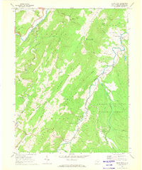 1969 Sugar Grove1973 Print · USGSPendleton County valley life is documented here during the late sixties, showcasing the intersection of traditional Appalachian farming and modern military defense. Genealogists can locate family names and burial grounds near Propstburg, Dahmer, and Sugar Grove, or trace the U S Naval Reservation footprint.3 unique versions available
 - 1981 Map of Elkins, 1983 Print
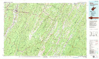 1981 Elkins1983 Print · USGSThe West Virginia mountains in the early eighties were a hub of rail-based industry and emerging conservation lands. Genealogists and historians can trace the paths of the Western Maryland RR through Elkins and locate small upland communities like Harpertown, Bowden, and Wymer.
 - 2011 Map of Sugar Grove, 2011 Print
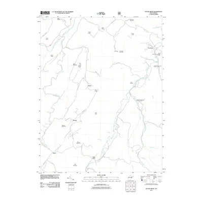 2011 Sugar Grove2011 Print · USGSThe South Branch Potomac River valley is shown at the start of the 2010s, highlighting the isolated mountain communities of Pendleton County. Genealogists and historians can trace family-named landmarks and hamlets like Dahmer, Propstburg, and Moyers.
 - 2014 Map of Sugar Grove, 2014 Print
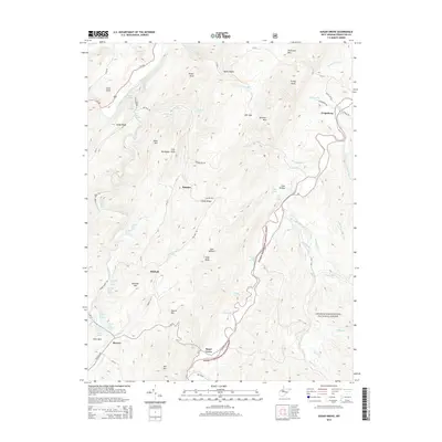 2014 Sugar Grove2014 Print · USGSSettled along the Potomac headwaters in the early twenty-first century, this area of Pendleton County retains its traditional rural character. Researchers can trace family-named springs and summits, including Mitchell Farm Spring, Rexrode Spring, and Propst Knob.
 - 2016 Map of Sugar Grove, 2016 Print
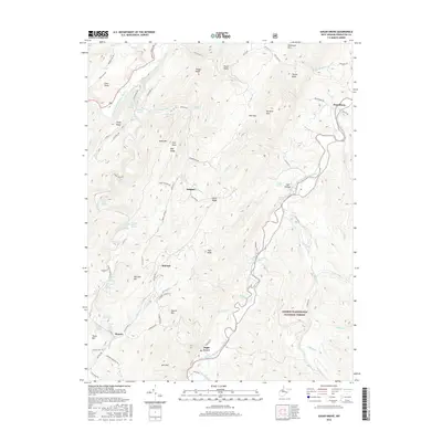 2016 Sugar Grove2016 Print · USGSHighland Pendleton County comes into focus in this modern survey of the South Fork valley and the George Washington National Forest. Researchers can trace family history through numerous named landmarks like Jamison Farm Spring, Dahmer, and Propstburg.
 - 2019 Map of Sugar Grove, 2019 Print
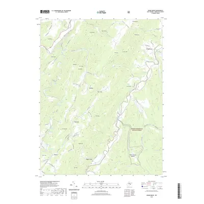 2019 Sugar Grove2019 Print · USGSIn this modern survey of eastern West Virginia, the valley of the South Fork remains a patchwork of historic farmsteads and mountain gaps. Genealogists and local historians can trace family-named sites like Propstburg, Dahmer, and Jamison Farm Spring across the varied terrain.
 - 2023 Map of Sugar Grove, 2023 Print
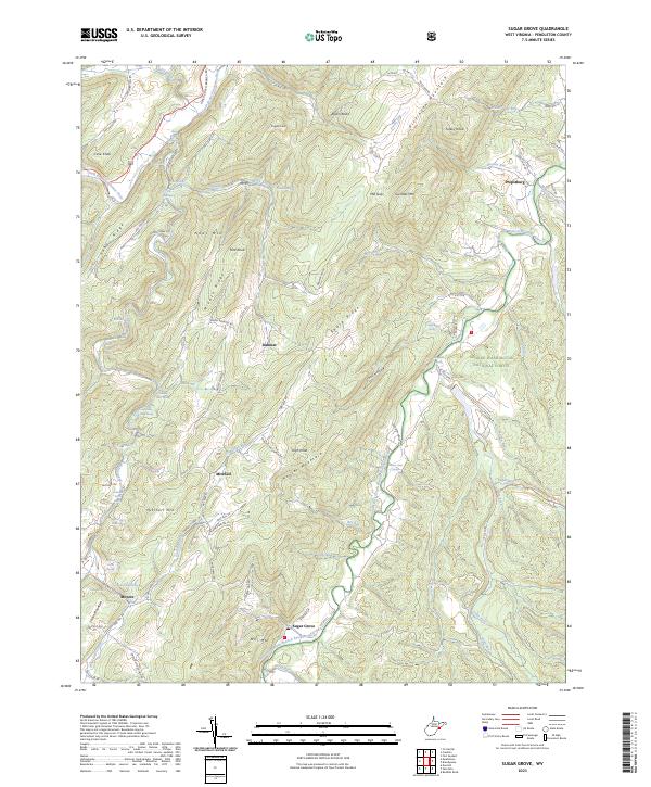 2023 Sugar Grove2023 Print · USGSThe Potomac River's high forks and the eastern ridges of the Appalachians defined life in this corner of Pendleton County. Researchers can trace rural settlement patterns through family-named sites like Propstburg, the community at Sugar Grove, and the site of Powder Mill Spring.
End of results
Showing maps 1-13 of 13
Top cities near Moyers
Frequently asked questions
- What are the different types of historical maps available for Moyers?
- What is the oldest map of Moyers?
- Where can I purchase historical maps of Moyers for my home or office?
- Where can I download high-res historical maps of Moyers?
- Are there historical topographic maps available for Moyers?
- Is there historical aerial imagery available for Moyers?
- Where are historical maps of Moyers sourced from?