2000s (21st Century) Maps of Union Mills, West Virginia
Explore 6 historic maps of Union Mills from the 2000s (21st Century). These maps offer a rare glimpse into what life looked like during the 2000s — showing old roads, neighborhoods, homes, and landmarks that have changed or disappeared over time.
Whether you're researching your family's past, planning a metal detecting trip, or studying how Union Mills's landscape evolved across the 2000s, these high-resolution maps are a powerful tool for exploring the history of this region.
- Focus on a specific era: All maps on this page are from the 2000s, giving you a focused view of this time period.
- See what’s changed: Compare century-old streets, trails, and buildings to today's modern landscape using overlays and satellite layers.
- Research with precision: Use these maps for genealogy, historical research, land use analysis, or educational projects.
- View, download, or print: Maps are fully viewable online in high resolution, and can be downloaded or printed for your own records.
Start exploring Union Mills's history through authentic maps from the 2000s. This is your window into the past.
Union Mills, WV maps
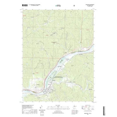
(6)- 2002 Map of Raven Rock, 2006 Print
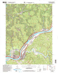 2002 Raven Rock2006 Print · USGSThe riverfront communities of West Virginia and Ohio are captured here at the start of the 21st century. Genealogists can locate family-named landmarks such as Chapman Cem and Wade Cem, or trace the development around St Marys and Newport.
 - 2011 Map of Raven Rock, 2011 Print
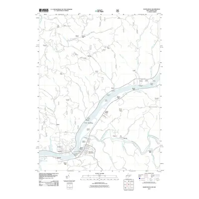 2011 Raven Rock2011 Print · USGSCovers Union Mills, including Newport, Murphy, and other nearby areas
 - 2014 Map of Raven Rock, 2014 Print
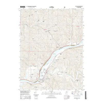 2014 Raven Rock2014 Print · USGSCovers Union Mills, including Newport, Murphy, and other nearby areas
 - 2016 Map of Raven Rock, 2016 Print
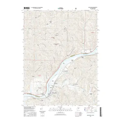 2016 Raven Rock2016 Print · USGSCovers Union Mills, including Newport, Murphy, and other nearby areas
 - 2019 Map of Raven Rock, 2019 Print
 2019 Raven Rock2019 Print · USGSCovers Union Mills, including Newport, Murphy, and other nearby areas
 - 2023 Map of Raven Rock, 2023 Print
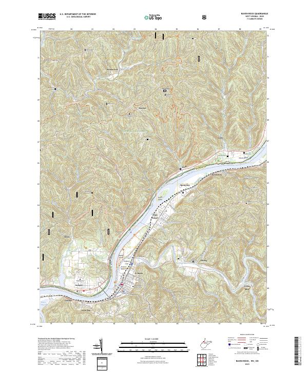 2023 Raven Rock2023 Print · USGSThe borderlands of the Ohio River come into focus in this recent survey, capturing the interface between the wooded hills of Ohio and the riverfront towns of West Virginia. Genealogists can locate several family cemeteries and historical landmarks, including the Independent Order of Odd Fellows Cem, the Pleasants County Courthouse in St. Marys, and the riverside settlement of Newport.
End of results
Showing maps 1-6 of 6
Top cities near Union Mills
- Newport historical maps
- Harrisville historical maps
- Grandview historical maps
- Sistersville historical maps
- Pennsboro historical maps
- Belmont historical maps
See more
Frequently asked questions
- What are the different types of historical maps available for Union Mills?
- What is the oldest map of Union Mills?
- Where can I purchase historical maps of Union Mills for my home or office?
- Where can I download high-res historical maps of Union Mills?
- Are there historical topographic maps available for Union Mills?
- Is there historical aerial imagery available for Union Mills?
- Where are historical maps of Union Mills sourced from?