Old Maps of Tunnelton, West Virginia for Genealogy
Trace your family roots with 27 historic maps of Tunnelton. These high-res maps reveal old neighborhoods, homesites, landmarks, and streets — helping you uncover where your ancestors lived and how the area evolved over time.
- Explore historic neighborhoods: Identify where your relatives may have lived in the 1800s or 1900s.
- Compare maps over time: Trace the changes in streets, buildings, and landmarks for multi-generational research.
- Perfect for genealogy & ancestry research: Used by family historians and researchers to map out lineage and migration.
These maps are an incredible resource for exploring your personal connection to Tunnelton's past.
Tunnelton, WV maps
(27)- 1886 Map of St. George
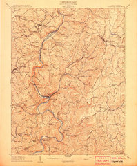
 1886 St. George1886 Print · USGSNorthern West Virginia’s rugged river valleys and early rail corridors are mapped here in the mid-1880s. Genealogists can trace family roots in settlements like St George or Terra Alta, while following the path of the Baltimore and Ohio Railroad.
 - 1891 Map of St. George, 1895 Print
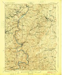
 1891 St. George1895 Print · USGSNorthern West Virginia at the end of the nineteenth century was defined by the expansion of the Baltimore and Ohio Railroad. Genealogists can trace early homesteads and landmarks like Valley Furnace, St George, and Terra Alta.3 unique versions available
 - 1907 Map of Thornton
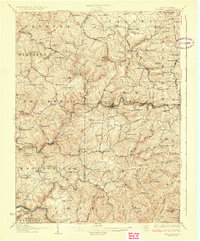
 1907 Thornton1907 Print · USGSPreston and Taylor counties are depicted here in the early years of the century as the rail industry reshaped the Appalachian highlands. Genealogists can trace family roots at specific landmarks like Summers Church, Knottsville, and Slabtown Schoolhouse along the Baltimore and Ohio RR corridor.2 unique versions available
 - 1907 Map of Kingwood
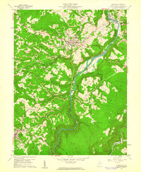
 1907 Kingwood1907 Print · USGSPreston County at the start of the twentieth century was defined by the deep gorges of the Cheat River and a network of historic turnpikes. Researchers can trace the early mountain economy through landmarks like Fairfax Ferry, the Buffalo Schoolhouse, and the Baltimore and Ohio RR corridor.2 unique versions available
 - 1925 Map of Kingwood
 1925 Kingwood1925 Print · USGSPreston County in the mid-twenties shows a landscape shaped by the Baltimore and Ohio Railroad and the winding Cheat River. Genealogists can locate dozens of country schools and churches, from St Josephs Church to the Washington Manor School and the Pleasant Valley Ford.3 unique versions available
 - 1926 Map of Thornton
 1926 Thornton1926 Print · USGSPreston and Taylor counties show a dense network of mountain settlements and rail corridors in the mid-1920s. Genealogists can locate family landmarks such as Slabcamp Church, the Pell School, and rail-side towns like Tunnelton or Newburg.2 unique versions available
 - 1948 Map of Cumberland
 1948 Cumberland1948 Print · USGSMid-century Appalachia and the Shenandoah Valley are shown in detail, documenting the industrial and transportation hubs of the tri-state area. Genealogists can trace family roots through settlements like Double Tollgate and Bunker Hill or along the Baltimore & Ohio RR.3 unique versions available
 - 1952 Map of Cumberland
 1952 Cumberland1952 Print · USGSThe Potomac Highlands and the Shenandoah Valley are revealed in this early 1950s survey of the Appalachian interior. Researchers can trace the river-and-rail corridors connecting Cumberland, Winchester, and the recreational waters of Deep Creek Lake.
 - 1956 Map of Cumberland, 1966 Print
 1956 Cumberland1966 Print · USGSThe tri-state Highlands in the mid-1950s show a landscape shaped by coal, timber, and the massive presence of the Baltimore & Ohio RR. Researchers can trace the industrial corridor from Cumberland through the Allegheny Mountains to mountain retreats like Deep Creek Lake.6 unique versions available
 - 1957 Map of Cumberland
 1957 Cumberland1957 Print · USGSThe Potomac River valley and the ridges of the Allegheny Front define this mid-century landscape at the intersection of Maryland, West Virginia, and Pennsylvania. Trace the steam-era rail lines of the Baltimore and Ohio RR or locate rural landmarks like St Stephens Church and Stony River Dam.
 - 1960 Map of Kingwood, 1961 Print
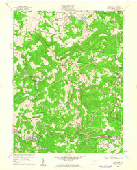
 1960 Kingwood1961 Print · USGSPreston County in the early sixties was a landscape of mountain railroads and active industry centered on the Cheat River. Genealogists can trace family landmarks and local institutions from St Josephs Ch and Kingwood Cemetery to the grounds of National Guard Camp Dawson.4 unique versions available
 - 1960 Map of Newburg, 1962 Print
 1960 Newburg1962 Print · USGSPreston County's coal and rail landscape is captured here in the early sixties, showing the vital corridors of the Baltimore and Ohio and West Virginia Northern lines. Genealogists can locate family names at Browns Mill, Arthurdale Cem, or the St Josephs Sch Cem.4 unique versions available
 - 1961 Map of Cumberland
 1961 Cumberland1961 Print · USGSThe tri-state highlands of Maryland, West Virginia, and Pennsylvania are shown in the mid-twentieth century as a complex landscape of ridges and river valleys. Researchers can trace the winding Potomac River and find old rail-and-river towns like Cumberland, Keyser, and Morgantown.
 - 1962 Map of Cumberland
 1962 Cumberland1962 Print · USGSThe central Appalachians meet at the height of the mid-century industrial era, showing the rugged topography between Morgantown and Winchester. Genealogists can trace family lands near Fort Necessity or along the vital Baltimore & Ohio RR corridors.
 - 1981 Map of Kingwood, 1982 Print
 1981 Kingwood1982 Print · USGSThe West Virginia highlands in the early eighties were a hub of mountain railroading and wilderness conservation. Trace the path of the Baltimore & Ohio RR through Kingwood or explore the early footprints of Canaan Valley State Park and Dolly Sods.
 - 1997 Map of Newburg, 2001 Print
 1997 Newburg2001 Print · USGSPreston County's industrial and communal history is on display in the late nineties, from the New Deal's Arthurdale to the rail hubs at the southern hills. Genealogists can trace family sites at Arthurdale Cem or Browns Mill and locate the rail Tunnels at Tunnelton.
 - 1997 Map of Kingwood, 2002 Print
 1997 Kingwood2002 Print · USGSPreston County in the late nineties shows a landscape shaped by the Cheat River and its industrial valley. Genealogists and local historians can trace the foundations of Kingwood and Tunnelton, or locate rural landmarks like St Josephs Ch and Wilson Cem.
 - 2011 Map of Kingwood, 2011 Print
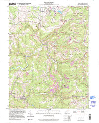
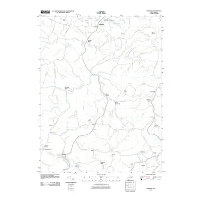
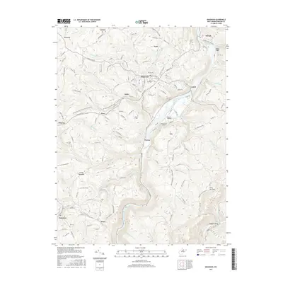
 2011 Kingwood2011 Print · USGSCovers Tunnelton, including Kingwood, Albright, and other nearby areas
 - 2011 Map of Newburg, 2011 Print
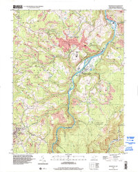
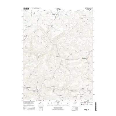
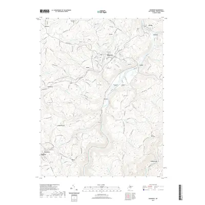
 2011 Newburg2011 Print · USGSCovers Tunnelton, including Newburg, Chestnut Ridge, and other nearby areas
 - 2014 Map of Newburg, 2014 Print
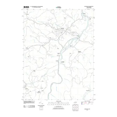
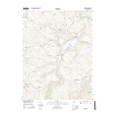
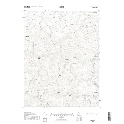
 2014 Newburg2014 Print · USGSCovers Tunnelton, including Newburg, Chestnut Ridge, and other nearby areas
 - 2014 Map of Kingwood, 2014 Print
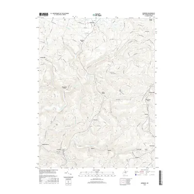
 2014 Kingwood2014 Print · USGSCovers Tunnelton, including Kingwood, Albright, and other nearby areas
 - 2016 Map of Newburg, 2016 Print
 2016 Newburg2016 Print · USGSCovers Tunnelton, including Newburg, Chestnut Ridge, and other nearby areas
 - 2016 Map of Kingwood, 2016 Print
 2016 Kingwood2016 Print · USGSCovers Tunnelton, including Kingwood, Albright, and other nearby areas
 - 2019 Map of Kingwood, 2019 Print
 2019 Kingwood2019 Print · USGSCovers Tunnelton, including Kingwood, Albright, and other nearby areas
 - 2019 Map of Newburg, 2019 Print
 2019 Newburg2019 Print · USGSCovers Tunnelton, including Newburg, Chestnut Ridge, and other nearby areas
Showing maps 1-25 of 27
Top cities near Tunnelton
- Morgantown historical maps
- Westover historical maps
- Kingwood historical maps
- Terra Alta historical maps
- Masontown historical maps
- Rowlesburg historical maps
See more
Frequently asked questions
- What are the different types of historical maps available for Tunnelton?
- What is the oldest map of Tunnelton?
- Where can I purchase historical maps of Tunnelton for my home or office?
- Where can I download high-res historical maps of Tunnelton?
- Are there historical topographic maps available for Tunnelton?
- Is there historical aerial imagery available for Tunnelton?
- Where are historical maps of Tunnelton sourced from?