Old Maps of Sophia, West Virginia for Academic Research
Study the evolution of Sophia with 26 high-resolution historic maps. Whether you're teaching, researching, or modeling changes in land use, these maps provide essential visual documentation of urban, environmental, and geographic change.
- Analyze long-term change: Track patterns in development, transportation, and natural features.
- Ideal for environmental or urban studies: Support academic projects with primary historical map data.
- Use in the classroom or lab: Educators and researchers rely on these maps to bring historical context to life.
These maps are a powerful tool for teaching, research, and visualizing how Sophia has changed over the decades.
Sophia, WV maps
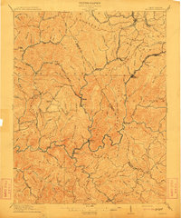
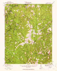
(26)- 1891 Map of Raleigh
 1891 Raleigh1891 Print · USGSRaleigh County and the New River Gorge are captured in the late nineteenth century during the initial rise of the coal industry. Genealogists can trace family holdings along Paint Creek or locate early river settlements such as Quinnimont and Fire Creek.
 - 1897 Map of Raleigh
 1897 Raleigh1897 Print · USGSThe New River Gorge area at the height of the coal and rail boom comes to life on this late nineteenth-century sheet. Genealogists and historians can trace riverside rail stops like Thurmond and Glenjean, or explore the high-plateau settlement at Marshes P.O. (Trap Hill).
 - 1902 Map of Raleigh
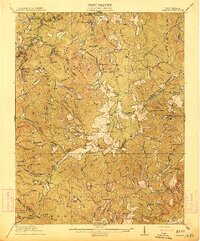
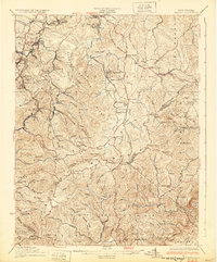
 1902 Raleigh1902 Print · USGSRaleigh County and the New River Gorge were entering their industrial peak when this survey was conducted in the late nineteenth century. Researchers can trace the early rail network of the CHESAPEAKE AND OHIO RR through booming towns like Thurmond, Beury, and East Sewell.3 unique versions available
 - 1911 Map of Flattop
 1911 Flattop1911 Print · USGSSouthern West Virginia’s coal and timber country comes into focus just as the railroads transformed these ridges and hollows. Genealogists can trace dozens of rural schoolhouses and family-named landmarks like Huff Knob, Egeria, and the VIRGINIAN RY corridor.
 - 1912 Map of Mullens
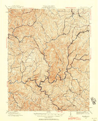
 1912 Mullens1912 Print · USGSThe Raleigh and Wyoming county lines meet in this 1910 study of the West Virginia coalfields during a period of rapid industrial growth. Genealogists and historians can trace the early path of the Virginian RR and locate vanished company towns like Stotesbury, Glen White, and Hotchkiss.2 unique versions available
 - 1914 Map of Flattop
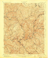
 1914 Flattop1914 Print · USGSSouthern West Virginia in the early twentieth century was a landscape of steep coal hollows and high-altitude ridge farming. Genealogists can locate dozens of country schools like Chestnut Ridge School and Phillips School alongside the emerging rail lines at Winding Gulf.2 unique versions available
 - 1925 Map of Mullens, 1958 Print
 1925 Mullens1958 Print · USGSWest Virginia's coal country comes into sharp focus during the mid-twenties as the Virginian Railway connects mountain hollows. Genealogists can locate family homes near Taliaferro School, Stotesbury, and Glen Rogers along the Guyandot River.2 unique versions available
 - 1927 Map of Mullens
 1927 Mullens1927 Print · USGSSouthern West Virginia’s coal country is shown at its industrial height during the mid-1920s, dominated by the winding path of the Virginian railway. Genealogists can trace hundreds of homes and landmarks in company towns like Mullens, Tams, and Stotesbury.2 unique versions available
 - 1929 Map of Flattop, 1963 Print
 1929 Flattop1963 Print · USGSRaleigh County and the surrounding coalfields are seen here during the 1920s mining boom. Researchers can trace the legacy of mountain communities through dozens of rural landmarks like Blue Jay Mine No 7, Vine Chapel, and Chestnut Ridge School.
 - 1932 Map of Flattop
 1932 Flattop1932 Print · USGSCoal and rail activity dominate the valleys of southern West Virginia in the early thirties. Trace the mining towns along the Virginian RR and locate local landmarks like Blue Jay Mine No 7, Vine Chapel, and Flattop School.2 unique versions available
 - 1955 Map of Bluefield
 1955 Bluefield1955 Print · USGSThe Central Appalachian borderlands come alive in the mid-fifties, showing the coal and rail networks connecting Bluefield to Beckley. Researchers can trace the industrial landscape of the New River Ordnance Plant and the terrain of Burkes Garden.
 - 1957 Map of Bluefield, 1967 Print
 1957 Bluefield1967 Print · USGSThe heart of Central Appalachia in the mid-fifties is defined by the winding rail lines and river valleys of the coalfields. Researchers can trace the industrial footprints of towns like Welch and Princeton or locate landmarks such as the Bluestone Reservoir and Claytor Lake.2 unique versions available
 - 1961 Map of Bluefield
 1961 Bluefield1961 Print · USGSThe coalfields and mountain ridges of southern West Virginia and southwest Virginia are captured in the early sixties. Genealogists can trace family ties through rail-linked towns like Princeton and Richlands or along the shores of Bluestone Reservoir.
 - 1967 Map of Lester, 1970 Print
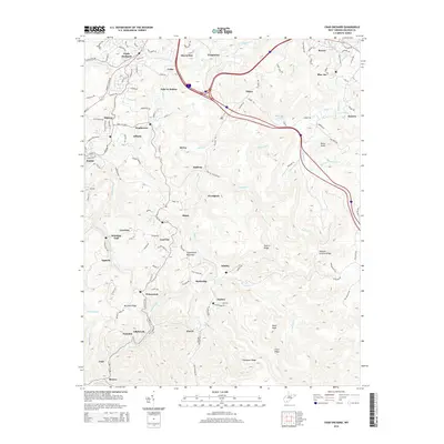
 1967 Lester1970 Print · USGSRaleigh County coal country is captured here in the late sixties, showing the peak rail-and-mine network of the Slab Fork District. Researchers can trace the industrial footprint of Stotesbury, Tams, and Helen along the Winding Gulf rail lines.2 unique versions available
 - 1968 Map of Crab Orchard, 1972 Print
 1968 Crab Orchard1972 Print · USGSIn the late 1960s, the coal country of Raleigh County was a bustle of rail lines and ridge-top communities. Genealogists and industrial historians can trace the foundations of Coal City, Winding Gulf, and Lillybrook alongside the Norfolk and Western rail lines.2 unique versions available
 - 1982 Map of Beckley, 1984 Print
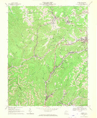
 1982 Beckley1984 Print · USGSSouthern West Virginia coal country is captured here in the early eighties as industrial heritage met new wilderness protections. Genealogists and historians can trace the rail-linked communities of Beckley, Oak Hill, and the coal camps near Macdonald.
 - 2011 Map of Crab Orchard, 2011 Print
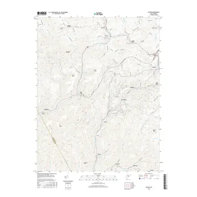
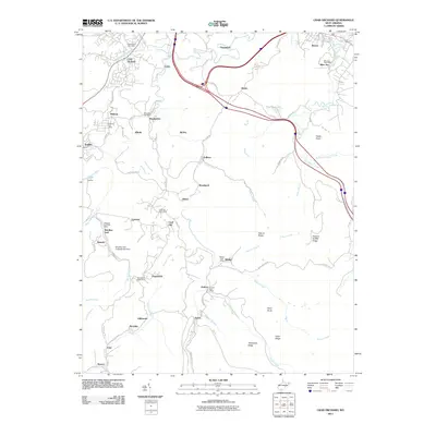 2011 Crab Orchard2011 Print · USGSCovers Sophia, including Pickshin, Winding Gulf, and other nearby areas
 - 2011 Map of Lester, 2011 Print
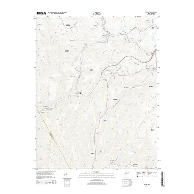
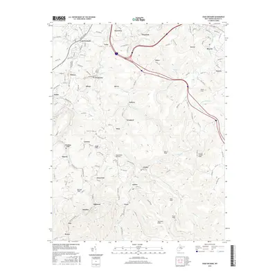
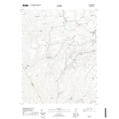
 2011 Lester2011 Print · USGSCovers Sophia, including Lester, Eastgulf, and other nearby areas
 - 2014 Map of Lester, 2014 Print
 2014 Lester2014 Print · USGSCovers Sophia, including Lester, Eastgulf, and other nearby areas
 - 2014 Map of Crab Orchard, 2014 Print
 2014 Crab Orchard2014 Print · USGSCovers Sophia, including Pickshin, Winding Gulf, and other nearby areas
 - 2016 Map of Crab Orchard, 2016 Print
 2016 Crab Orchard2016 Print · USGSCovers Sophia, including Pickshin, Winding Gulf, and other nearby areas
 - 2016 Map of Lester, 2016 Print
 2016 Lester2016 Print · USGSCovers Sophia, including Lester, Eastgulf, and other nearby areas
 - 2019 Map of Crab Orchard, 2019 Print
 2019 Crab Orchard2019 Print · USGSCovers Sophia, including Pickshin, Winding Gulf, and other nearby areas
 - 2019 Map of Lester, 2019 Print
 2019 Lester2019 Print · USGSCovers Sophia, including Lester, Eastgulf, and other nearby areas
 - 2023 Map of Lester, 2023 Print
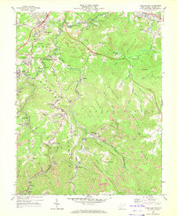
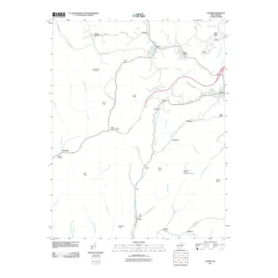
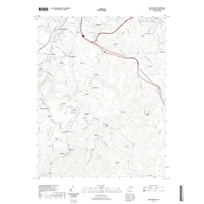
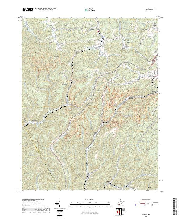 2023 Lester2023 Print · USGSThe coalfield communities of Raleigh County are captured here in the early twenty-first century, showcasing a landscape of winding hollows and high ridges. Researchers can locate family landmarks such as the Cannaday Cem and follow the historic settlement patterns of Stotesbury, Glen White, and Slab Fork.
Showing maps 1-25 of 26
Top cities near Sophia
- Beckley historical maps
- Mullens historical maps
- Mount Hope historical maps
- Mabscott historical maps
- Bud historical maps
- Corinne historical maps
See more
Frequently asked questions
- What are the different types of historical maps available for Sophia?
- What is the oldest map of Sophia?
- Where can I purchase historical maps of Sophia for my home or office?
- Where can I download high-res historical maps of Sophia?
- Are there historical topographic maps available for Sophia?
- Is there historical aerial imagery available for Sophia?
- Where are historical maps of Sophia sourced from?