Old Maps of Girta, West Virginia for Academic Research
Study the evolution of Girta with 14 high-resolution historic maps. Whether you're teaching, researching, or modeling changes in land use, these maps provide essential visual documentation of urban, environmental, and geographic change.
- Analyze long-term change: Track patterns in development, transportation, and natural features.
- Ideal for environmental or urban studies: Support academic projects with primary historical map data.
- Use in the classroom or lab: Educators and researchers rely on these maps to bring historical context to life.
These maps are a powerful tool for teaching, research, and visualizing how Girta has changed over the decades.
Girta, WV maps
(14)- 1906 Map of Elizabeth
 1906 Elizabeth1906 Print · USGSWirt and Wood Counties come alive in the first decade of the twentieth century, anchored by the river commerce of the Little Kanawha River. Genealogists and historians can trace defunct post offices and rail stops like Dulin PO, Volcano Junction, and Kanawha Station.2 unique versions available
 - 1924 Map of Elizabeth, 1965 Print
 1924 Elizabeth1965 Print · USGSWirt and Wood Counties come alive in the mid-1920s as the Little Kanawha River serves as the primary artery for local life and industry. Genealogists can trace hundreds of family sites near schools like Mountain Flower School or the rural Antioch Church.
 - 1926 Map of Elizabeth
 1926 Elizabeth1926 Print · USGSMid-century West Virginia hill country comes to life here along the banks of the Little Kanawha River and the Baltimore and Ohio line. Genealogists can trace a remarkable landscape of rural education through Rising Sun School, Mountain Flower School, and Muddy Cut School.3 unique versions available
 - 1949 Map of Clarksburg
 1949 Clarksburg1949 Print · USGSThe upper Ohio River valley and the industrial heart of West Virginia come into focus during this post-war period. Genealogists and researchers can trace the rail corridors of the Baltimore and Ohio and locate centers like Fairmont, Grafton, and Waynesburg.
 - 1956 Map of Clarksburg, 1966 Print
 1956 Clarksburg1966 Print · USGSThe Ohio River valley and the industrial heart of West Virginia are seen here in the mid-1950s as rail and river commerce thrived. Researchers can trace historic transport lines like the Baltimore and Ohio RR and locate ancestral homes in Clarksburg, Moundsville, or Parkersburg.2 unique versions available
 - 1957 Map of Girta, 1958 Print
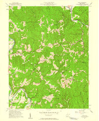 1957 Girta1958 Print · USGSWirt and Ritchie Counties were centers of energy production in the late 1950s, defined by the winding river valleys and ridge-top settlements. Researchers can trace the extensive Burning Springs Oil Field and find family landmarks like Ruble Knob and Guthrie Ch.4 unique versions available
 - 1961 Map of Clarksburg
 1961 Clarksburg1961 Print · USGSThe mid-century industrial and river landscapes of West Virginia and Ohio are detailed here, centered on the Ohio River. Researchers can trace the Baltimore and Ohio rail lines connecting towns like Parkersburg, Clarksburg, and Monongah.
 - 1981 Map of Parkersburg, 1984 Print
 1981 Parkersburg1984 Print · USGSThe Ohio River valley at the start of the 1980s reveals a landscape shaped by river commerce and the rail networks of the Baltimore and Ohio RR. Genealogists and historians can trace the development of riverfront communities like Parkersburg, Marietta, and Williamstown, alongside rural landmarks like Blennerhassett Island and Elizabeth.
 - 1988 Map of Clarksburg, 1989 Print
 1988 Clarksburg1989 Print · USGSThe central Appalachians are documented in detail during the late eighties, showing the industrial and river-based economies of West Virginia, Ohio, and Pennsylvania. Researchers can trace historic rail routes like the B & O RR and locate river towns from St Marys to Parkersburg.
 - 2010 Map of Girta, 2010 Print
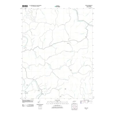 2010 Girta2010 Print · USGSWirt County's rugged terrain is documented here in the early twenty-first century as the traditional landscape of small river settlements remains intact. Genealogists can locate family burial sites at Pine Twist Cemetery or Guthrie Cemetery near the remote reaches of Standingstone Creek.
 - 2014 Map of Girta, 2014 Print
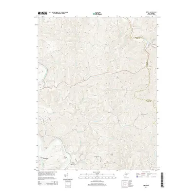 2014 Girta2014 Print · USGSWirt and Ritchie counties are shown here during a time when the rural landscape remained deeply connected to its industrial and family roots. Researchers can trace the Burning Springs Oil Field or locate ancestral sites like Shiloh Cem and Guthrie Cem.
 - 2016 Map of Girta, 2016 Print
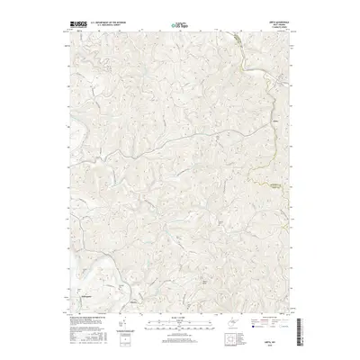 2016 Girta2016 Print · USGSThe Wirt County hills and the banks of the Little Kanawha River appear here in a recent look at this rural landscape. Researchers can trace family roots at Saratoga Cem and Shiloh Cem or locate the crossroads at Enterprise and Girta.
 - 2019 Map of Girta, 2019 Print
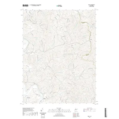 2019 Girta2019 Print · USGSThe Wirt and Ritchie county line near the Little Kanawha River was home to a network of small hill-country settlements in the 2010s. Genealogists can locate several remote burial grounds including Saratoga Cem, Shiloh Cem, and the high-elevation Pine Twist Cem.
 - 2023 Map of Girta, 2023 Print
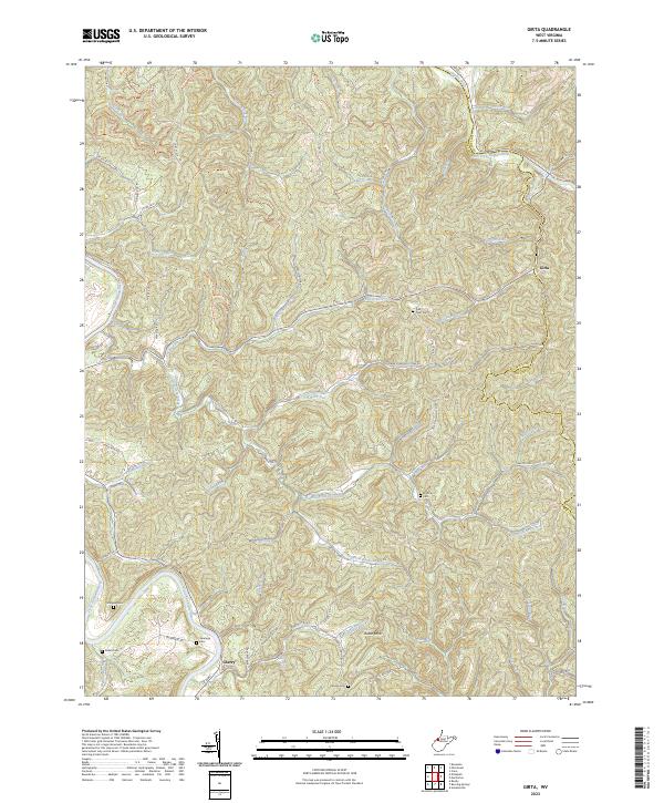 2023 Girta2023 Print · USGSWirt and Ritchie counties are shown here in the 2020s, dominated by the forks of the Hughes and Little Kanawha rivers. Local historians can trace old family sites like Ruble Cem and Saratoga Cem or locate the rural settlements of Girta and Cherry.
End of results
Showing maps 1-14 of 14
Top cities near Girta
- Harrisville historical maps
- Elizabeth historical maps
- Grantsville historical maps
- Ellenboro historical maps
- Cairo historical maps
- Reedy historical maps
Frequently asked questions
- What are the different types of historical maps available for Girta?
- What is the oldest map of Girta?
- Where can I purchase historical maps of Girta for my home or office?
- Where can I download high-res historical maps of Girta?
- Are there historical topographic maps available for Girta?
- Is there historical aerial imagery available for Girta?
- Where are historical maps of Girta sourced from?