Old Maps of Macfarlan, West Virginia for Hiking & Exploration
Hike through history with 14 historic maps of Macfarlan. Explore old trails, ghost towns, and forgotten backroads — perfect for outdoor adventurers and local explorers.
- Rediscover forgotten places: Map out old mining camps, roads, and footpaths that no longer exist on modern maps.
- Layer with modern tools: Combine with LiDAR or satellite views to plan hikes through historical terrain.
- Made for exploration: Popular among hikers, overlanders, and local history lovers.
Use these maps to find adventure and explore the hidden past of Macfarlan.
Macfarlan, WV maps
(14)- 1907 Map of Harrisville
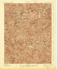
 1907 Harrisville1907 Print · USGSRitchie County at the start of the twentieth century is centered on the rugged valleys of the North Fork and South Fork Hughes River. Researchers can trace the path of the Baltimore and Ohio RR and locate rural hubs like Silver Run Station and the Ritchie Mine.2 unique versions available
 - 1924 Map of Harrisville, 1957 Print
 1924 Harrisville1957 Print · USGSRitchie County during the mid-1920s reveals a landscape of ridge-top schools and river-valley industry. Genealogists can trace family roots through numerous local landmarks like Silver Run Sta Donohue PO, Ritchie Mines, and Star Settlement.
 - 1926 Map of Harrisville
 1926 Harrisville1926 Print · USGSRitchie County in the mid-twenties is a landscape of winding river valleys and bustling rail hubs like Cairo and Harrisville. Researchers can trace the heritage of remote hill communities through dozens of local landmarks like the Ritchie Mine, Donohue PO, and Star Settlement.
 - 1949 Map of Clarksburg
 1949 Clarksburg1949 Print · USGSThe upper Ohio River valley and the industrial heart of West Virginia come into focus during this post-war period. Genealogists and researchers can trace the rail corridors of the Baltimore and Ohio and locate centers like Fairmont, Grafton, and Waynesburg.
 - 1956 Map of Clarksburg, 1966 Print
 1956 Clarksburg1966 Print · USGSThe Ohio River valley and the industrial heart of West Virginia are seen here in the mid-1950s as rail and river commerce thrived. Researchers can trace historic transport lines like the Baltimore and Ohio RR and locate ancestral homes in Clarksburg, Moundsville, or Parkersburg.2 unique versions available
 - 1961 Map of Clarksburg
 1961 Clarksburg1961 Print · USGSThe mid-century industrial and river landscapes of West Virginia and Ohio are detailed here, centered on the Ohio River. Researchers can trace the Baltimore and Ohio rail lines connecting towns like Parkersburg, Clarksburg, and Monongah.
 - 1964 Map of Macfarlan, 1966 Print
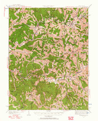
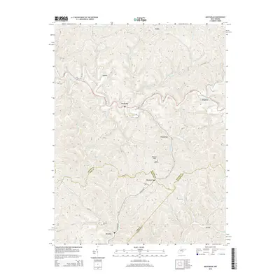
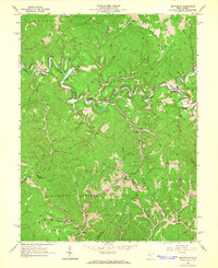 1964 Macfarlan1966 Print · USGSRitchie County’s winding river valleys were defined by timber and fuel extraction in the mid-1960s. Genealogists and researchers can trace local family lineages through remote landmarks like Hartley Sch, Nutter Cem, and the river community of Macfarlan.3 unique versions available
 - 1981 Map of Parkersburg, 1984 Print
 1981 Parkersburg1984 Print · USGSThe Ohio River valley at the start of the 1980s reveals a landscape shaped by river commerce and the rail networks of the Baltimore and Ohio RR. Genealogists and historians can trace the development of riverfront communities like Parkersburg, Marietta, and Williamstown, alongside rural landmarks like Blennerhassett Island and Elizabeth.
 - 1988 Map of Clarksburg, 1989 Print
 1988 Clarksburg1989 Print · USGSThe central Appalachians are documented in detail during the late eighties, showing the industrial and river-based economies of West Virginia, Ohio, and Pennsylvania. Researchers can trace historic rail routes like the B & O RR and locate river towns from St Marys to Parkersburg.
 - 2010 Map of MacFarlan, 2010 Print
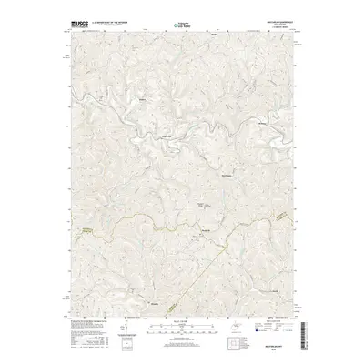
 2010 MacFarlan2010 Print · USGSCovers Macfarlan, including Brohard, Munday, and other nearby areas
 - 2014 Map of MacFarlan, 2014 Print
 2014 MacFarlan2014 Print · USGSCovers Macfarlan, including Brohard, Munday, and other nearby areas
 - 2016 Map of MacFarlan, 2016 Print
 2016 MacFarlan2016 Print · USGSCovers Macfarlan, including Brohard, Munday, and other nearby areas
 - 2019 Map of MacFarlan, 2019 Print
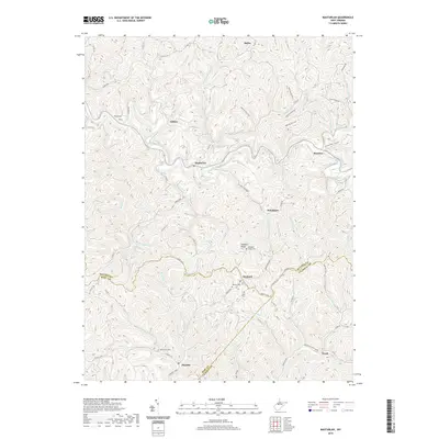 2019 MacFarlan2019 Print · USGSCovers Macfarlan, including Brohard, Munday, and other nearby areas
 - 2023 Map of MacFarlan, 2023 Print
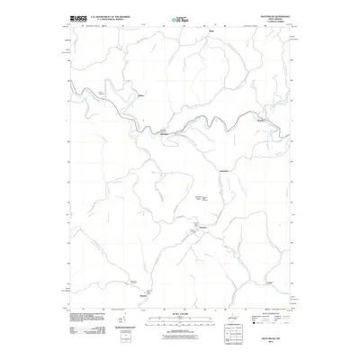
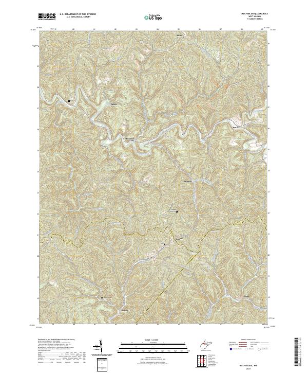 2023 MacFarlan2023 Print · USGSIn this modern survey of the Ritchie and Wirt County borders, the South Fork Hughes River winds through a landscape of historic upland settlements. Genealogists can locate family burial sites at Wolverton Cem and Hartley Cem or trace the rural routes connecting Macfarlan and Beatrice.
End of results
Showing maps 1-14 of 14
Top cities near Macfarlan
- Harrisville historical maps
- Pennsboro historical maps
- Elizabeth historical maps
- Grantsville historical maps
- Ellenboro historical maps
- Cairo historical maps
See more
Frequently asked questions
- What are the different types of historical maps available for Macfarlan?
- What is the oldest map of Macfarlan?
- Where can I purchase historical maps of Macfarlan for my home or office?
- Where can I download high-res historical maps of Macfarlan?
- Are there historical topographic maps available for Macfarlan?
- Is there historical aerial imagery available for Macfarlan?
- Where are historical maps of Macfarlan sourced from?